MyTopo
Starve Out Flat Montana US Topo Map
Couldn't load pickup availability
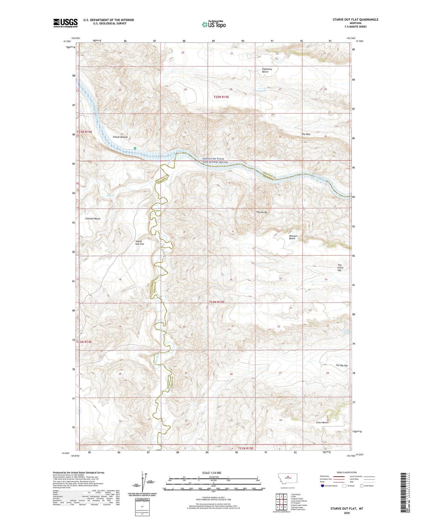
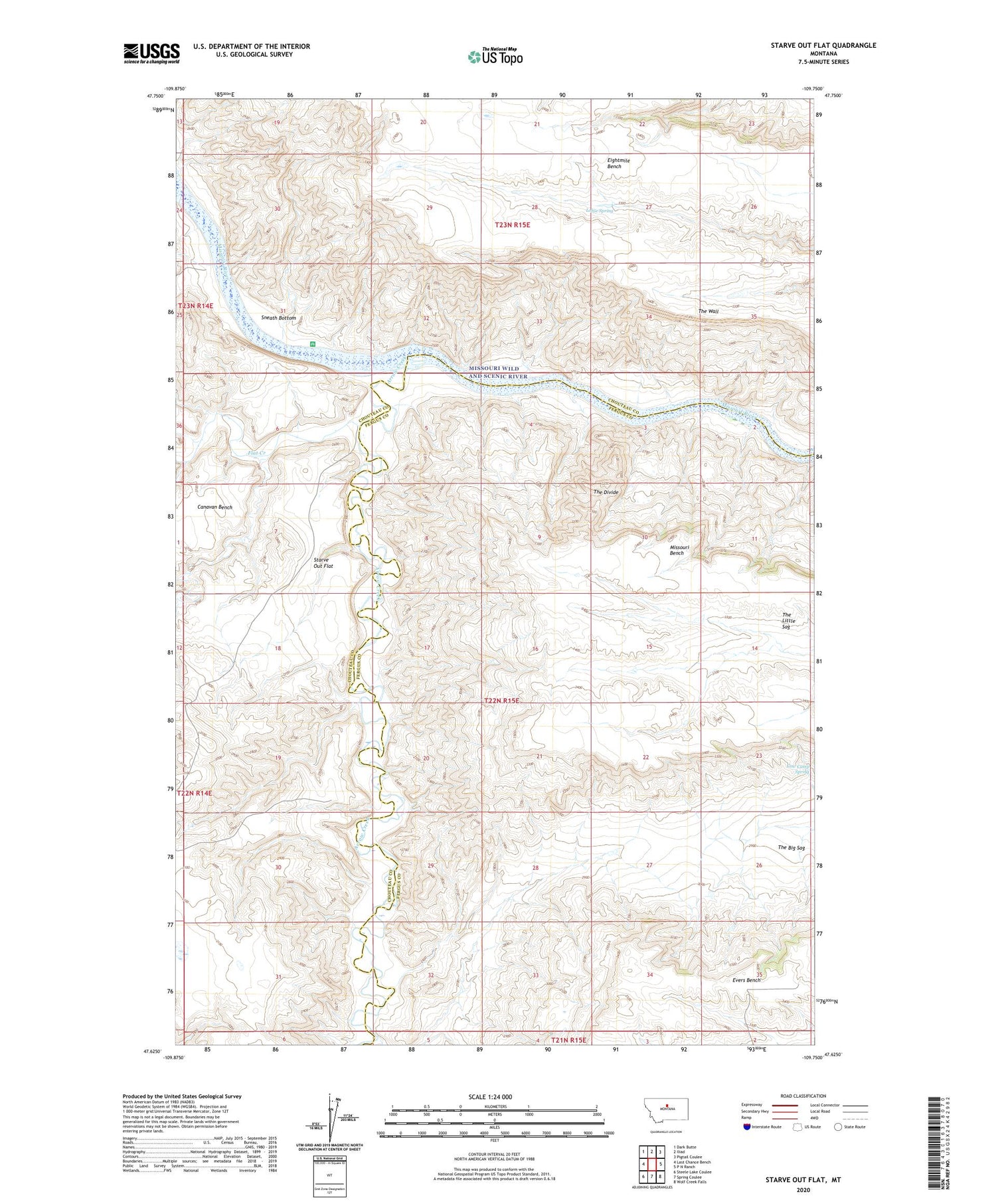
2020 topographic map quadrangle Starve Out Flat in the state of Montana. Scale: 1:24000. Based on the newly updated USGS 7.5' US Topo map series, this map is in the following counties: Chouteau, Fergus. The map contains contour data, water features, and other items you are used to seeing on USGS maps, but also has updated roads and other features. This is the next generation of topographic maps. Printed on high-quality waterproof paper with UV fade-resistant inks.
Quads adjacent to this one:
West: Last Chance Bench
Northwest: Dark Butte
North: Iliad
Northeast: Pigtail Coulee
East: P N Ranch
Southeast: Wolf Creek Falls
South: Spring Coulee
Southwest: Steele Lake Coulee
Contains the following named places: Arrow Creek, Canavan Bench, Cap Rock Ridge, Cherry Top, Cow Camp Spring, Deadman Coulee, Eightmile Bench, Fahlgren Coulee, Flat Creek, Lohse Spring, Sneath Bottom, Sneath Post Office, Starve Out Flat, The Big Sag, The Divide, The Little Sag, The Wall