MyTopo
Sugarloaf Mountain Montana US Topo Map
Couldn't load pickup availability
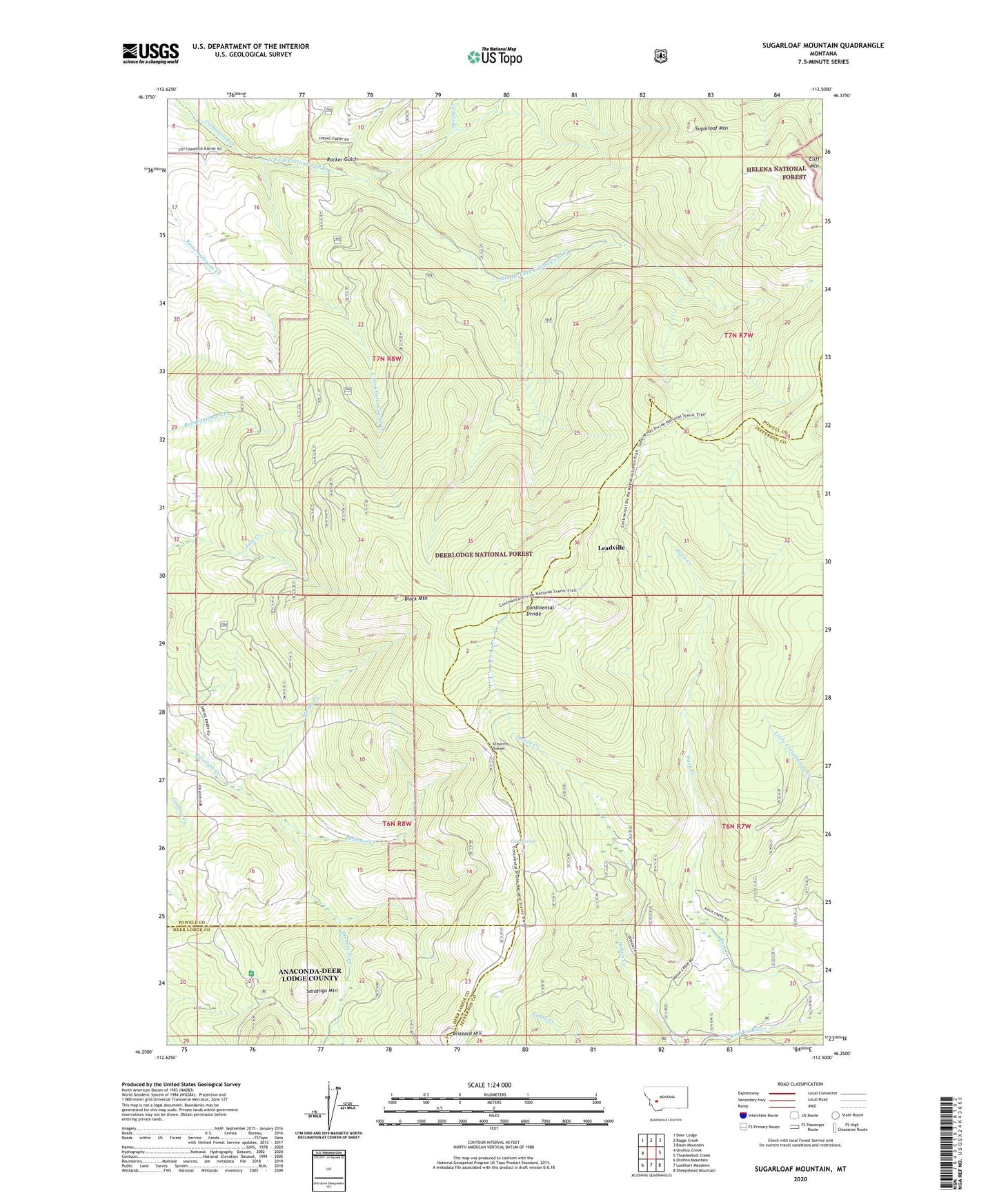
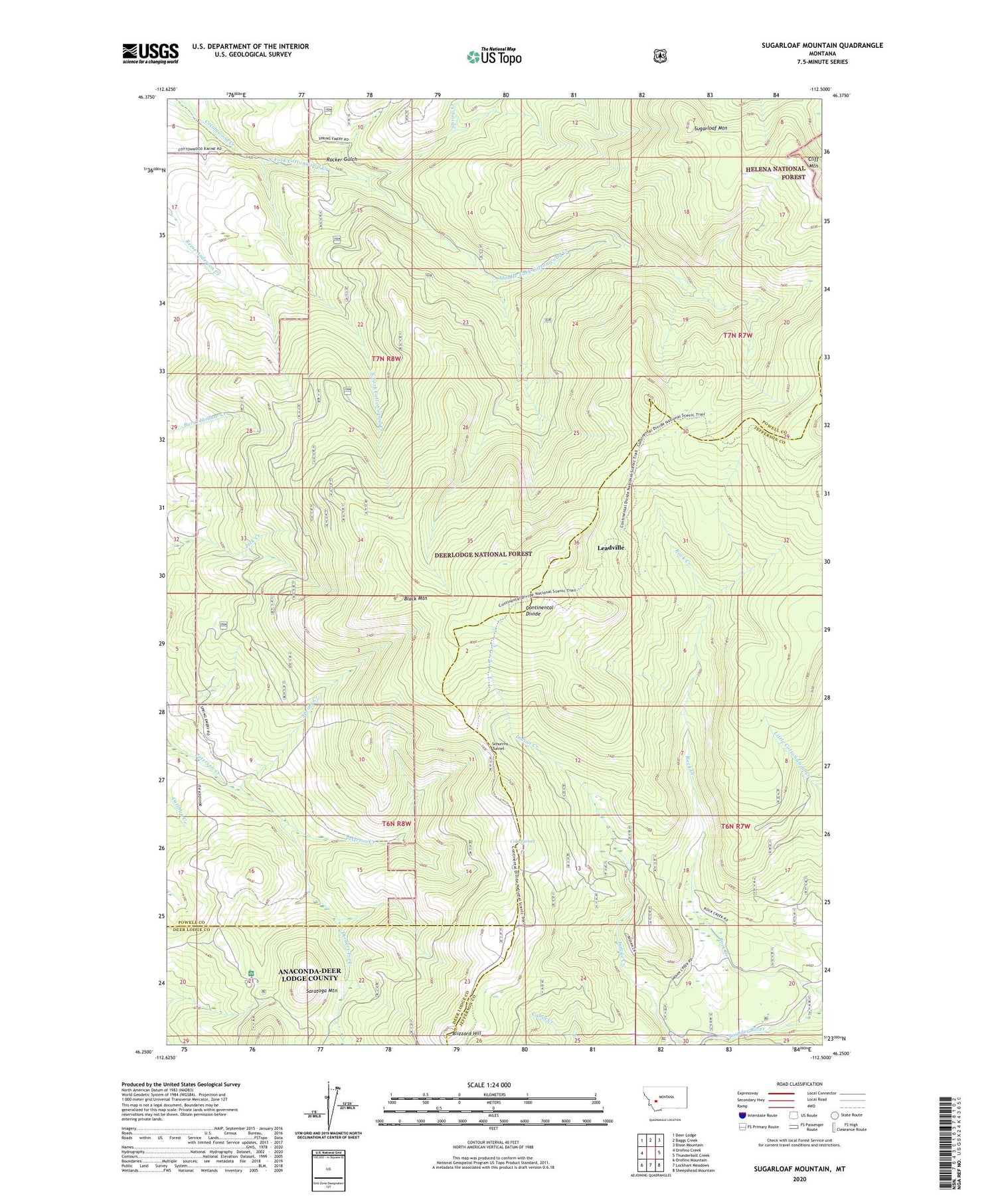
2020 topographic map quadrangle Sugarloaf Mountain in the state of Montana. Scale: 1:24000. Based on the newly updated USGS 7.5' US Topo map series, this map is in the following counties: Powell, Jefferson, Deer Lodge. The map contains contour data, water features, and other items you are used to seeing on USGS maps, but also has updated roads and other features. This is the next generation of topographic maps. Printed on high-quality waterproof paper with UV fade-resistant inks.
Quads adjacent to this one:
West: Orofino Creek
Northwest: Deer Lodge
North: Baggs Creek
Northeast: Bison Mountain
East: Thunderbolt Creek
Southeast: Sheepshead Mountain
South: Lockhart Meadows
Southwest: Orofino Mountain
Contains the following named places: 07N08W17DA__01 Well, 07N08W21BA__01 Well, Black Mountain, Blizzard Hill, Cliff Mountain, Cold Spring, Dieders Fork, Jaslowski, Jaslowski Mine, Leadville, Leadville Mine, Long Park, Middle Fork Cottonwood Creek, North Fork Cottonwood Creek, Orofino Campground, Rock Creek, Rocker Gulch, Saratoga Mountain, Schurchs Tunnel, South Fork Cottonwood Creek, Spring Creek, Sugarloaf Mountain