MyTopo
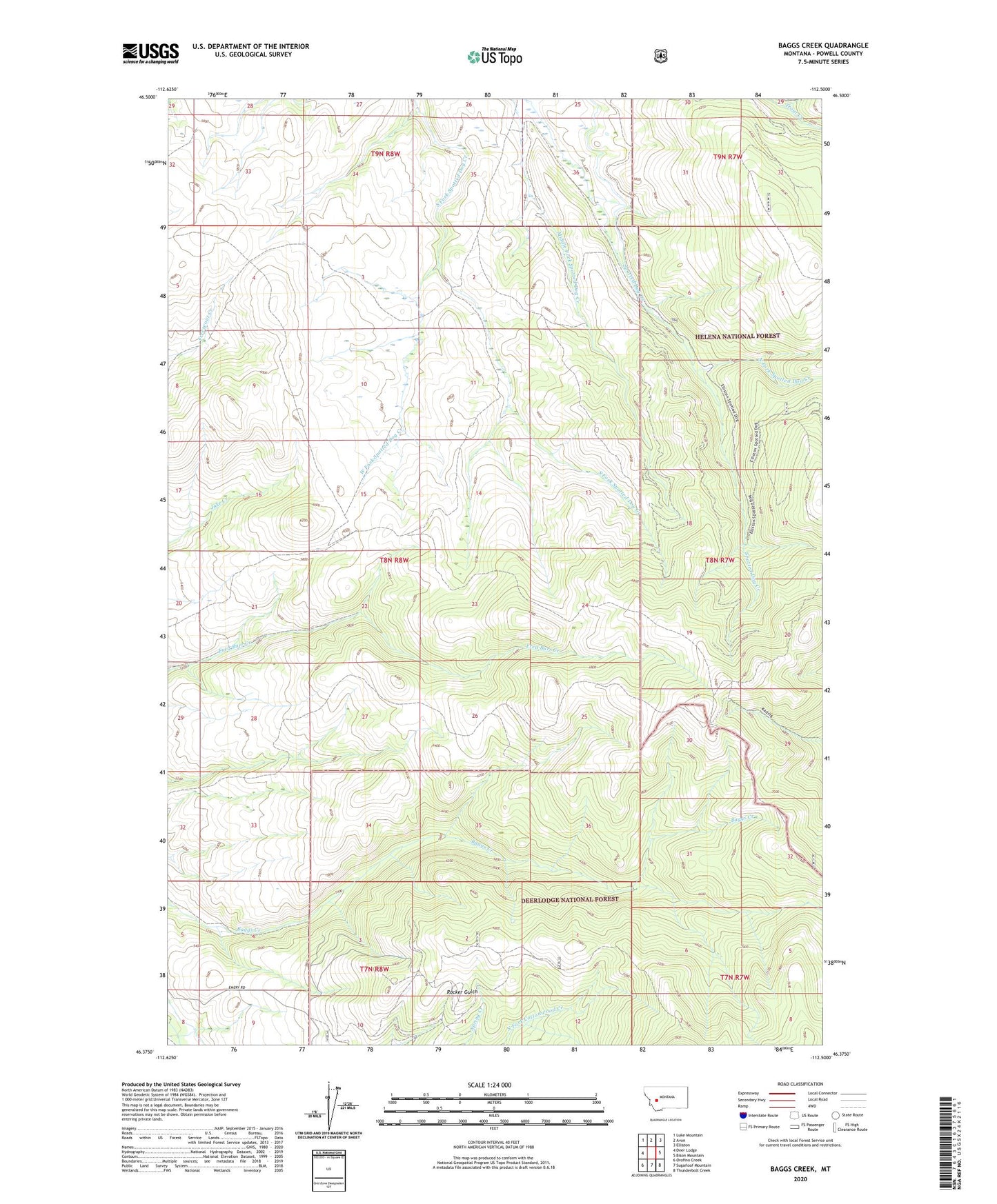
Baggs Creek Montana US Topo Map
Couldn't load pickup availability
Also explore the Baggs Creek Forest Service Topo of this same quad for updated USFS data
2024 topographic map quadrangle Baggs Creek in the state of Montana. Scale: 1:24000. Based on the newly updated USGS 7.5' US Topo map series, this map is in the following counties: Powell. The map contains contour data, water features, and other items you are used to seeing on USGS maps, but also has updated roads and other features. This is the next generation of topographic maps. Printed on high-quality waterproof paper with UV fade-resistant inks.
Quads adjacent to this one:
West: Deer Lodge
Northwest: Luke Mountain
North: Avon
Northeast: Elliston
East: Bison Mountain
Southeast: Thunderbolt Creek
South: Sugarloaf Mountain
Southwest: Orofino Creek
This map covers the same area as the classic USGS quad with code o46112d5.
Contains the following named places: Emery, Emery Mine, Emery Post Office, Emery School, Hidden Hand Mine, North Fork Spotted Dog Creek, West Fork Spotted Dog Creek, Zosel, Zosel School