
MyTopo
Tampico Montana US Topo Map
Couldn't load pickup availability
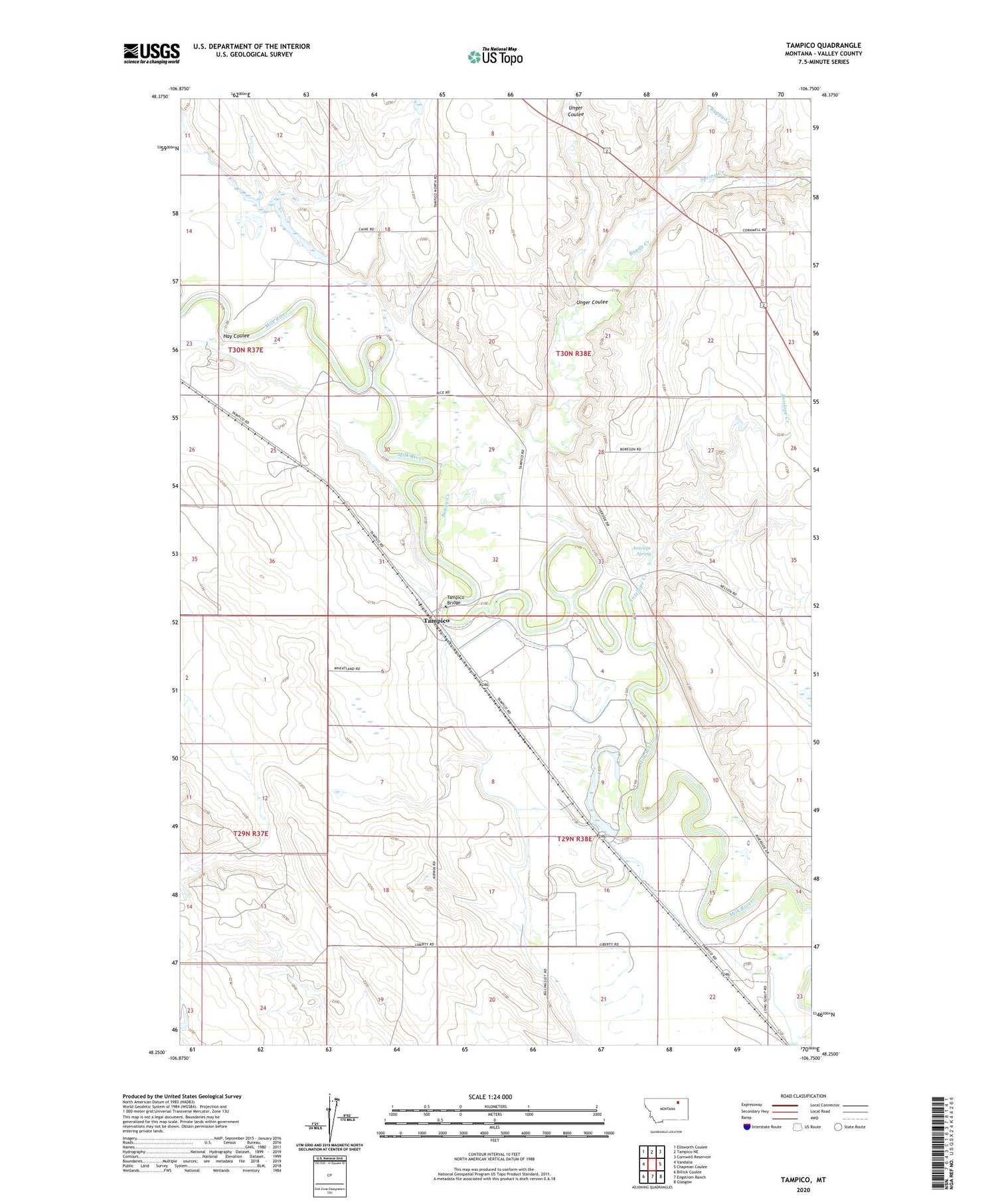
2020 topographic map quadrangle Tampico in the state of Montana. Scale: 1:24000. Based on the newly updated USGS 7.5' US Topo map series, this map is in the following counties: Valley. The map contains contour data, water features, and other items you are used to seeing on USGS maps, but also has updated roads and other features. This is the next generation of topographic maps. Printed on high-quality waterproof paper with UV fade-resistant inks.
Quads adjacent to this one:
West: Vandalia
Northwest: Ellsworth Coulee
North: Tampico NE
Northeast: Cornwell Reservoir
East: Chapman Coulee
Southeast: Glasgow
South: Engstrom Ranch
Southwest: Billick Coulee
Contains the following named places: 29N38E14CAAB01 Well, 30N38E09CADB01 Well, Antelope Creek, Antelope Spring, Billingsley School, Blue Cheese Dam, Buggy Creek, Cain Dam, Cain School, Etchart Field Airport, Glasgow Rest Area, Hay Coulee, Liquid Gold Historical Marker, Spring Creek, Tampico, Tampico Bridge, Tampico Post Office, Tampico School, Unger Coulee


