MyTopo
Teigen NW Montana US Topo Map
Couldn't load pickup availability
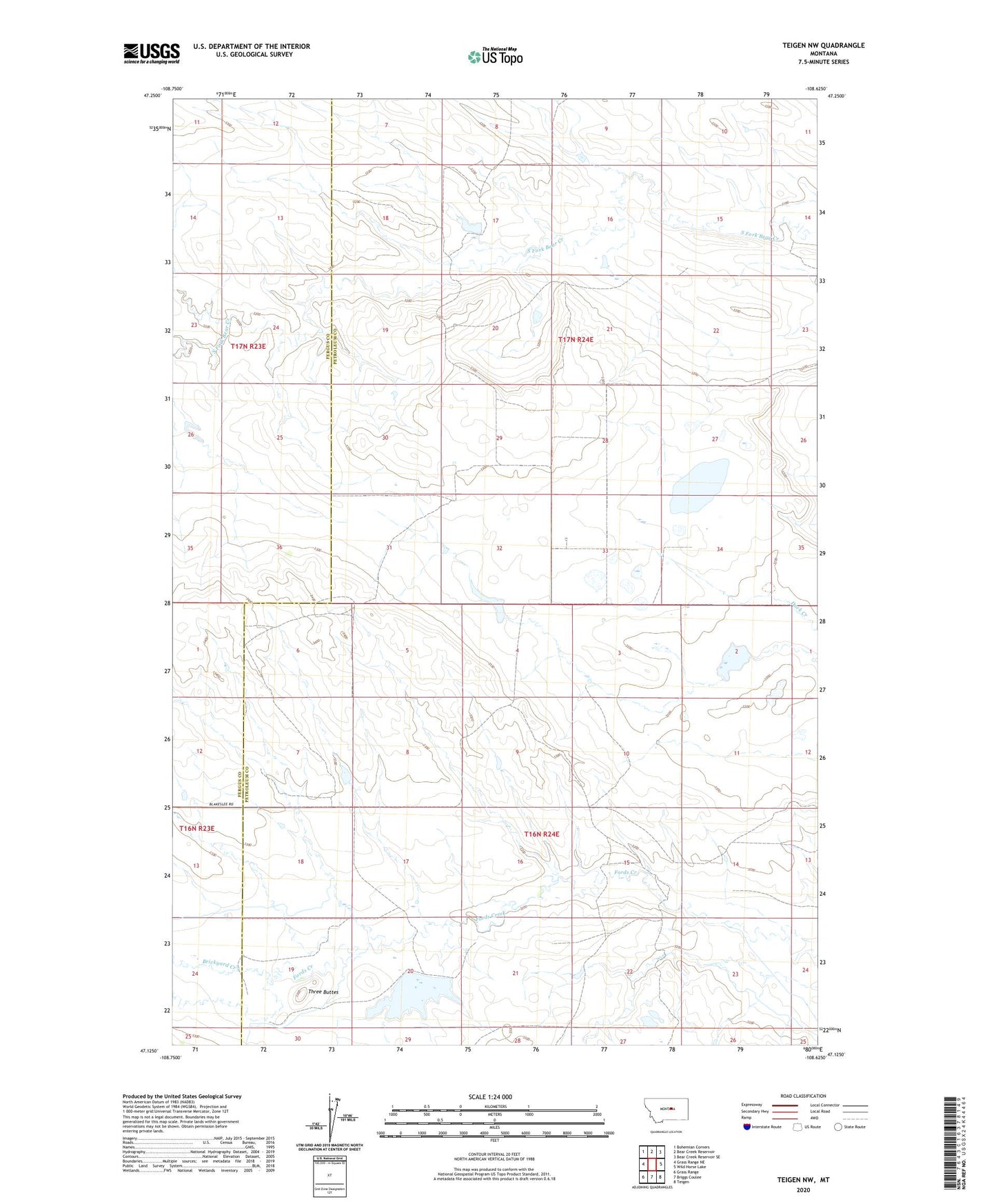
2024 topographic map quadrangle Teigen NW in the state of Montana. Scale: 1:24000. Based on the newly updated USGS 7.5' US Topo map series, this map is in the following counties: Petroleum, Fergus. The map contains contour data, water features, and other items you are used to seeing on USGS maps, but also has updated roads and other features. This is the next generation of topographic maps. Printed on high-quality waterproof paper with UV fade-resistant inks.
Quads adjacent to this one:
West: Grass Range NE
Northwest: Bohemian Corners
North: Bear Creek Reservoir
Northeast: Bear Creek Reservoir SE
East: Wild Horse Lake
Southeast: Teigen
South: Briggs Coulee
Southwest: Grass Range
This map covers the same area as the classic USGS quad with code o47108b6.
Contains the following named places: 16N24E07CC__01 Well, 16N24E15DDB_01 Well, 16N24E19BAB_01 Well, 17N23E25ABB_01 Well, 17N24E17CC__01 Well, 17N24E19DBA_01 Well, 17N24E34CAB_01 Well, Blakeslee, Blakeslee Post Office, Blakeslee School, Brickyard Creek, Delaney Number 2 Dam, Devine School, Ducky Number 1 Dam, Harris Number 1 Dam, Neumann School, Plainview School, Three Buttes