MyTopo
Grass Range NE Montana US Topo Map
Couldn't load pickup availability
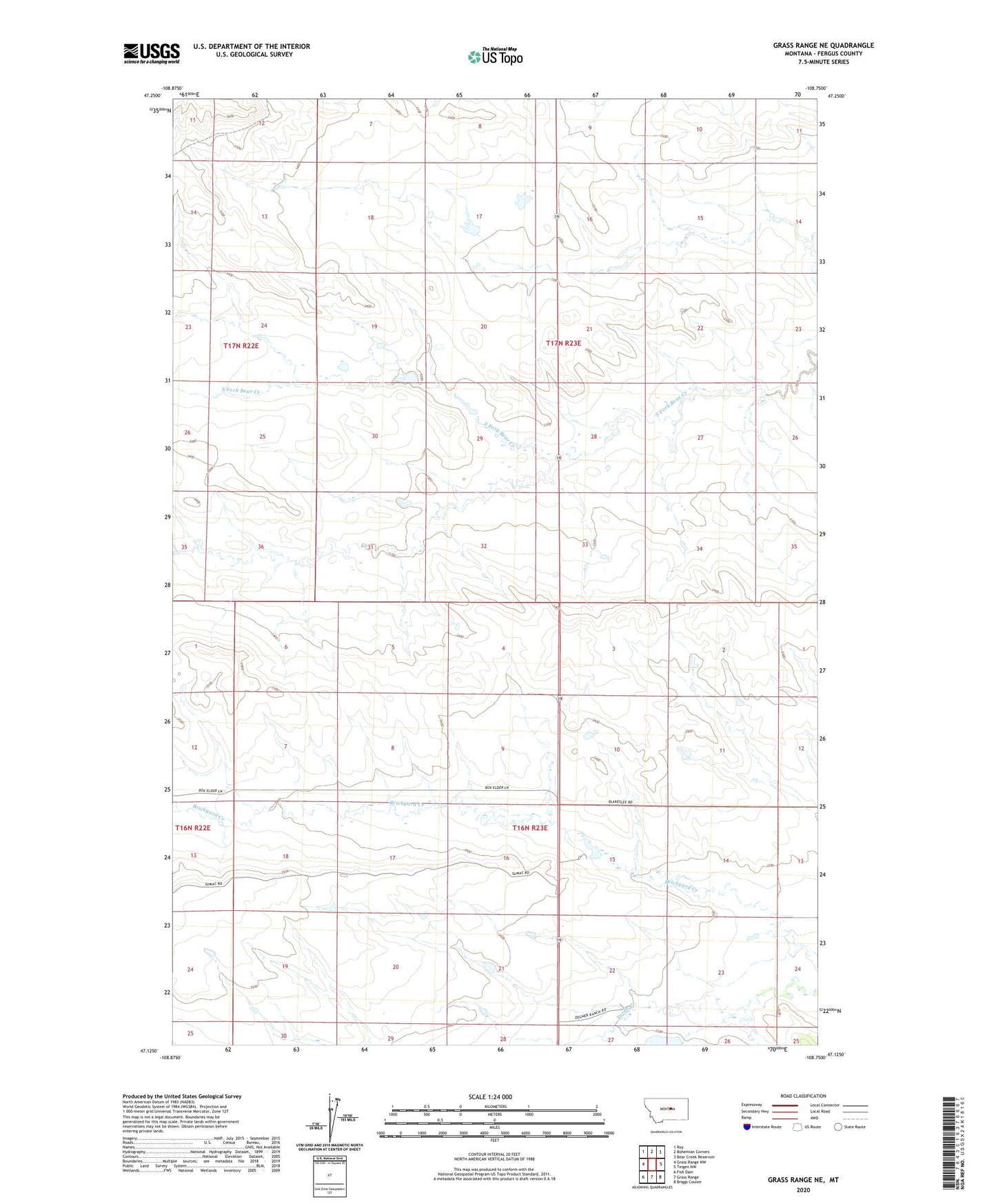
2024 topographic map quadrangle Grass Range NE in the state of Montana. Scale: 1:24000. Based on the newly updated USGS 7.5' US Topo map series, this map is in the following counties: Fergus. The map contains contour data, water features, and other items you are used to seeing on USGS maps, but also has updated roads and other features. This is the next generation of topographic maps. Printed on high-quality waterproof paper with UV fade-resistant inks.
Quads adjacent to this one:
West: Grass Range NW
Northwest: Roy
North: Bohemian Corners
Northeast: Bear Creek Reservoir
East: Teigen NW
Southeast: Briggs Coulee
South: Grass Range
Southwest: Fish Dam
Contains the following named places: 17N23E15DBA_01 Well, Baby Food Dam, Bear Creek School, Eva Murphy Number 1 Dam, Eva Murphy Number 4 Dam, Graber Number 2 Dam, New Dengel School