MyTopo
Twin Lakes Montana US Topo Map
Couldn't load pickup availability
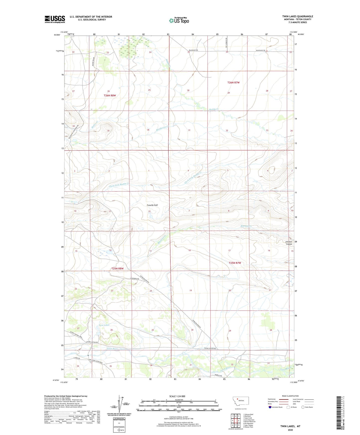
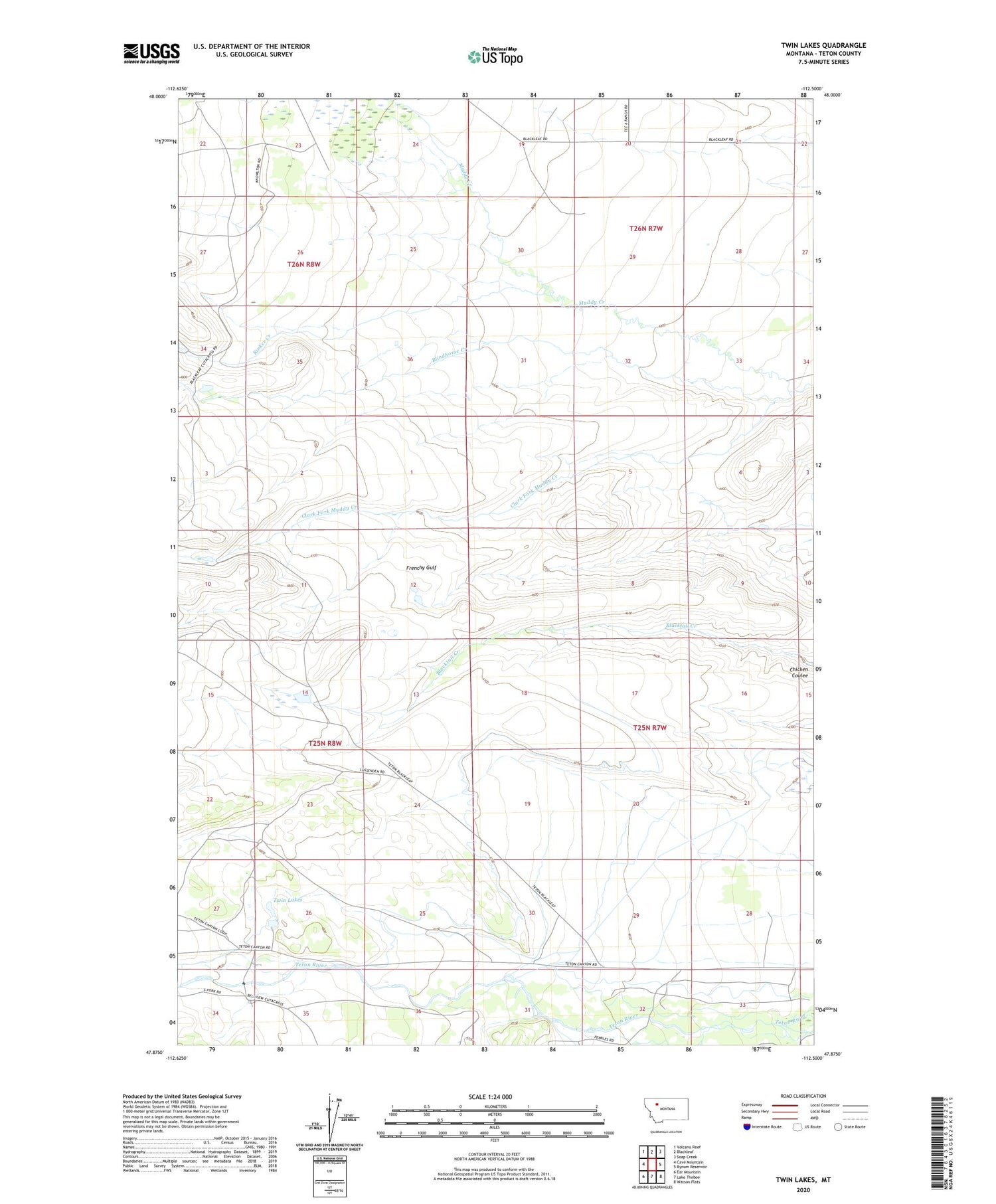
2020 topographic map quadrangle Twin Lakes in the state of Montana. Scale: 1:24000. Based on the newly updated USGS 7.5' US Topo map series, this map is in the following counties: Teton. The map contains contour data, water features, and other items you are used to seeing on USGS maps, but also has updated roads and other features. This is the next generation of topographic maps. Printed on high-quality waterproof paper with UV fade-resistant inks.
Quads adjacent to this one:
West: Cave Mountain
Northwest: Volcano Reef
North: Blackleaf
Northeast: Soap Creek
East: Bynum Reservoir
Southeast: Watson Flats
South: Lake Theboe
Southwest: Ear Mountain
Contains the following named places: Blackleaf School, Blindhorse Creek, Chicken Coulee, Clark Brothers Ranch, Clark Fork Muddy Creek, Frenchy Gulf, Hughes Ranch, Knowlton Ranch, Olson Ranch, Ostle Ranch, Pollock Ranch, Rinker Creek, Twin Lakes, Twin Lakes Dam