MyTopo
Union School Montana US Topo Map
Couldn't load pickup availability
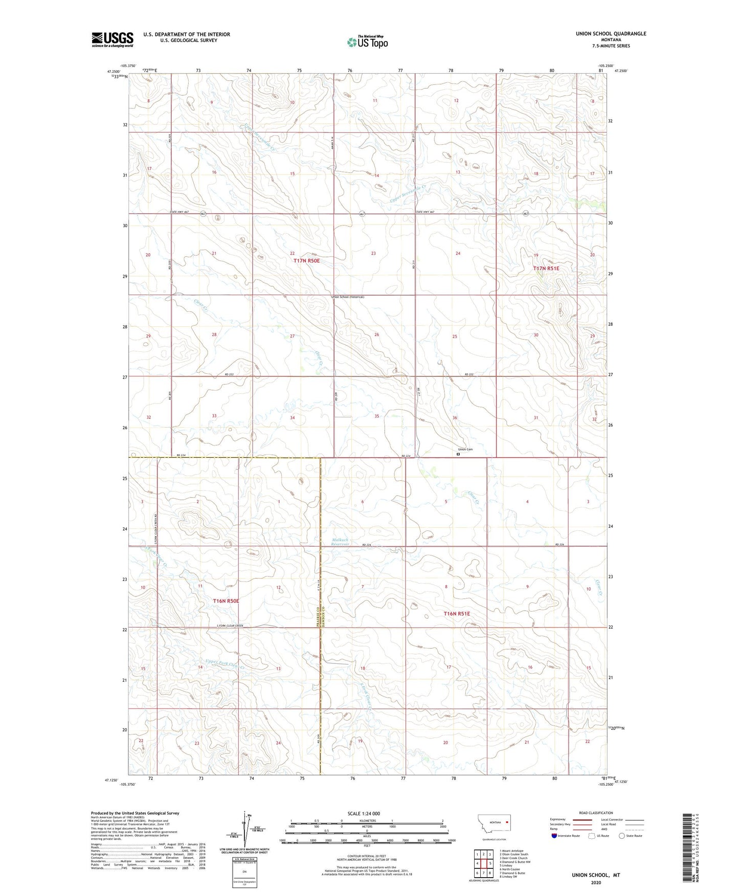
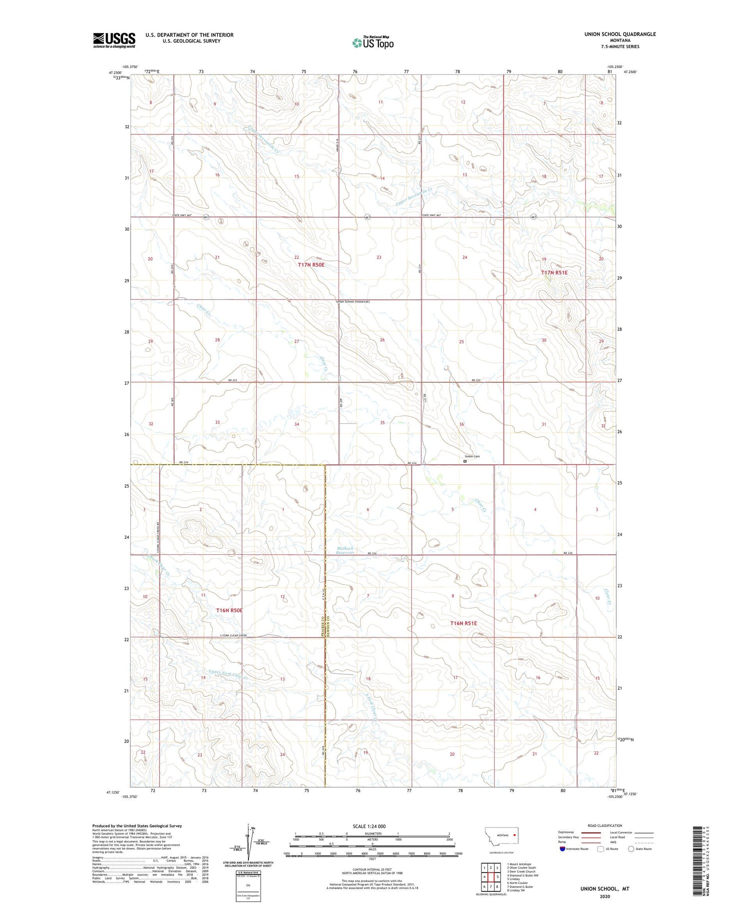
2020 topographic map quadrangle Union School in the state of Montana. Scale: 1:24000. Based on the newly updated USGS 7.5' US Topo map series, this map is in the following counties: Dawson, Prairie. The map contains contour data, water features, and other items you are used to seeing on USGS maps, but also has updated roads and other features. This is the next generation of topographic maps. Printed on high-quality waterproof paper with UV fade-resistant inks.
Quads adjacent to this one:
West: Diamond G Butte NW
Northwest: Mount Antelope
North: Olson Coulee South
Northeast: Deer Creek Church
East: Lindsay
Southeast: Lindsay SW
South: Diamond G Butte
Southwest: North Coulee
Contains the following named places: 16N50E02AACD01 Well, 16N50E10AADD01 Well, 16N50E23CB__01 Well, 16N51E06DDC_01 Well, 16N51E20CAA_01 Well, 16N51E22CBC_01 Well, 17N50E14DDB_01 Well, 17N50E28BAC_01 Well, 17N50E35BCD_01 Well, 17N51E19AAA_01 Well, 17N51E30CDC_01 Well, Bidwell School, Clear Creek School, Malkuch Dam, Malkuch Reservoir, Seven Number 4 Dam, Spring Valley School, Summit School, Union, Union Cemetery, Union Post Office, Union School, Upper Fork Clear Creek