MyTopo
Wagner Montana US Topo Map
Couldn't load pickup availability
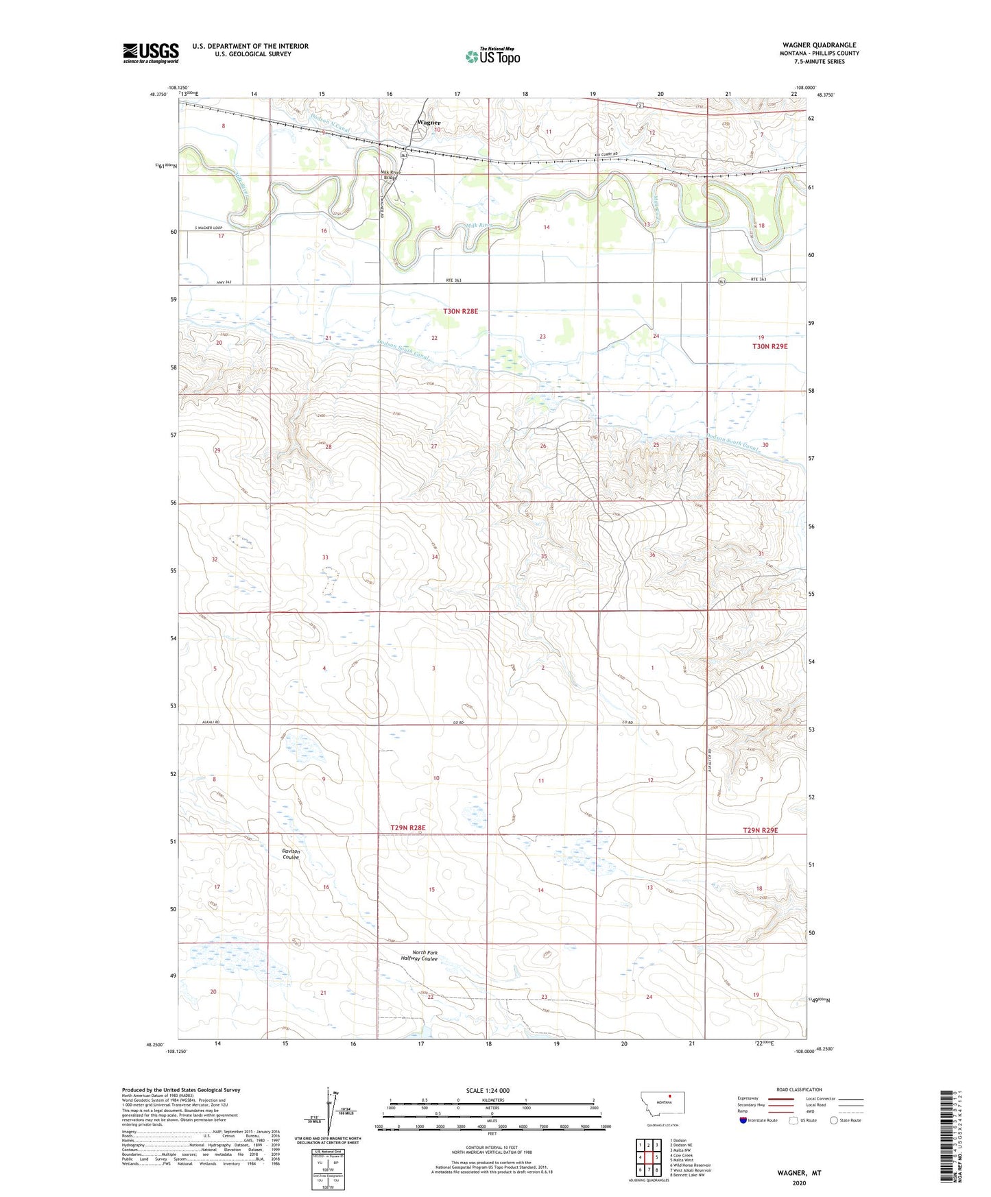
2020 topographic map quadrangle Wagner in the state of Montana. Scale: 1:24000. Based on the newly updated USGS 7.5' US Topo map series, this map is in the following counties: Phillips. The map contains contour data, water features, and other items you are used to seeing on USGS maps, but also has updated roads and other features. This is the next generation of topographic maps. Printed on high-quality waterproof paper with UV fade-resistant inks.
Quads adjacent to this one:
West: Cow Creek
Northwest: Dodson
North: Dodson NE
Northeast: Malta NW
East: Malta West
Southeast: Bennett Lake NW
South: West Alkali Reservoir
Southwest: Wild Horse Reservoir
Contains the following named places: 30N28E10CCAB01 Well, 30N28E10CDBB01 Well, Buckin' Horse Dam, Gilda Radner Dam, Halfway Dam, Hould School, Lussier School, Milk River Bridge, Murray School, South Wagner School, Wagner, Wagner Post Office, Wagner School