MyTopo
Malta NW Montana US Topo Map
Couldn't load pickup availability
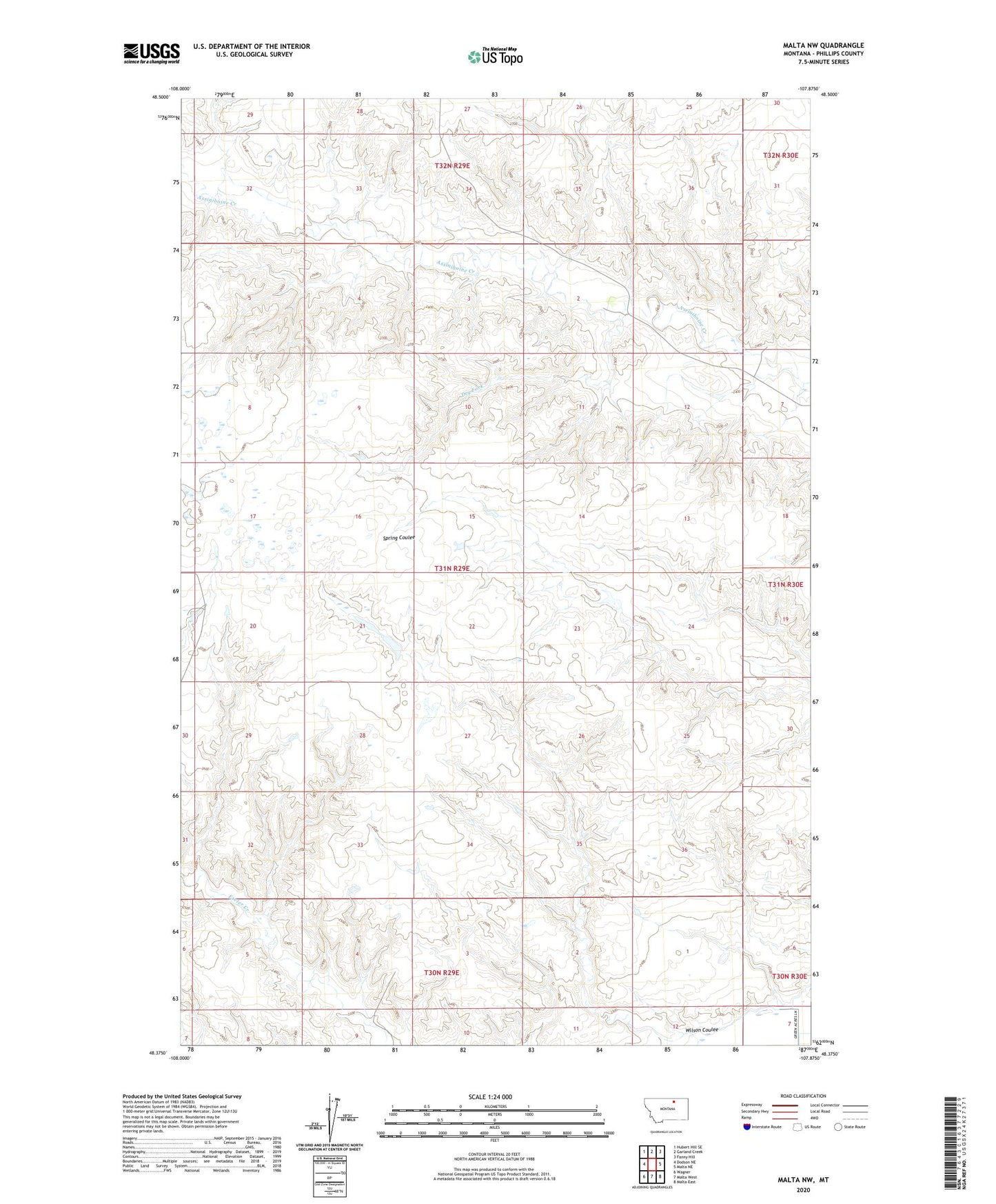
2024 topographic map quadrangle Malta NW in the state of Montana. Scale: 1:24000. Based on the newly updated USGS 7.5' US Topo map series, this map is in the following counties: Phillips. The map contains contour data, water features, and other items you are used to seeing on USGS maps, but also has updated roads and other features. This is the next generation of topographic maps. Printed on high-quality waterproof paper with UV fade-resistant inks.
Quads adjacent to this one:
West: Dodson NE
Northwest: Hubert Hill SE
North: Garland Creek
Northeast: Fanny Hill
East: Malta NE
Southeast: Malta East
South: Malta West
Southwest: Wagner
This map covers the same area as the classic USGS quad with code o48107d8.
Contains the following named places: Bish School, Dry Fork, Kelso Number 1 Dam, PR-174 Dam, Wilson Coulee