MyTopo
Dodson Montana US Topo Map
Couldn't load pickup availability
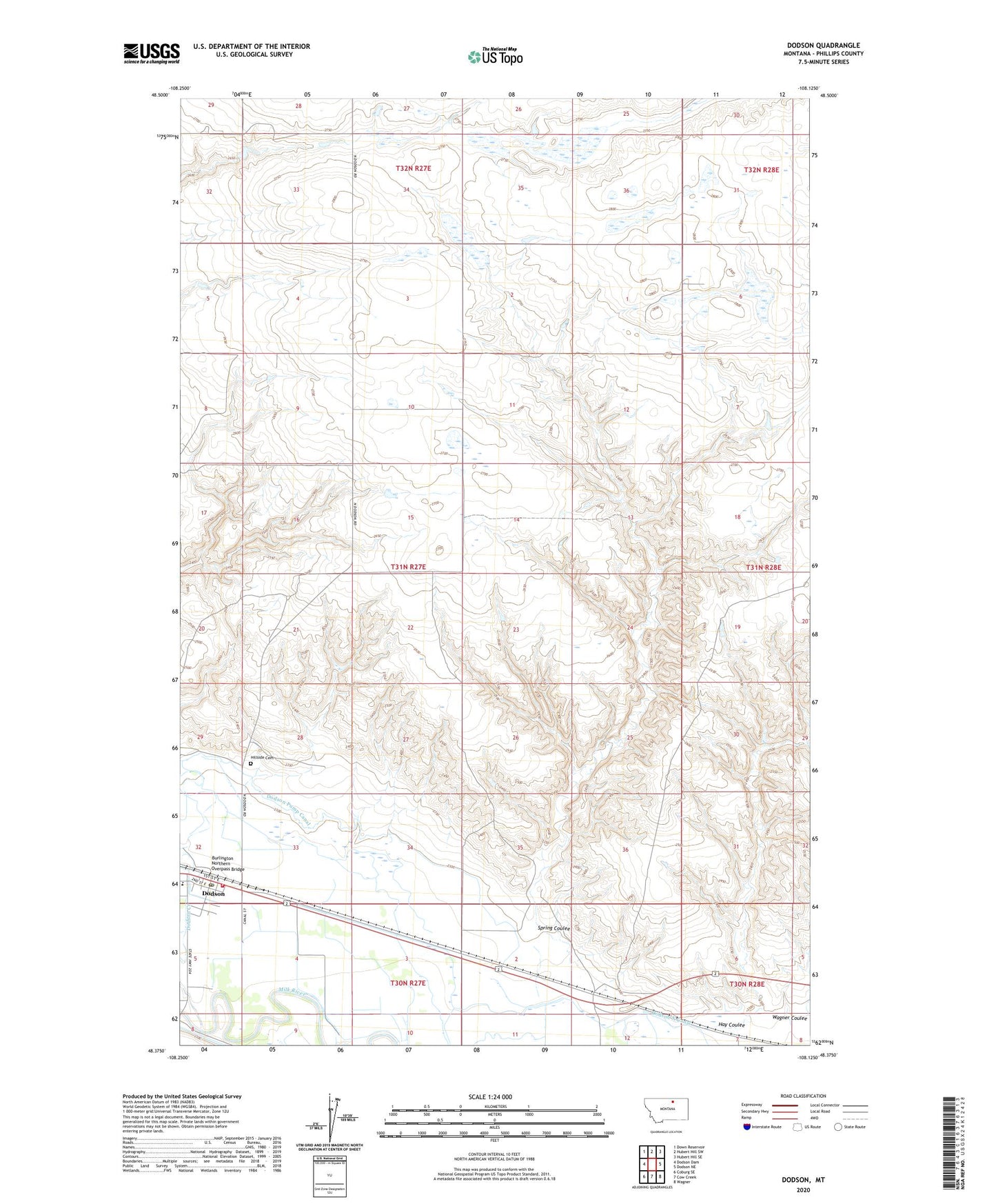
2024 topographic map quadrangle Dodson in the state of Montana. Scale: 1:24000. Based on the newly updated USGS 7.5' US Topo map series, this map is in the following counties: Phillips. The map contains contour data, water features, and other items you are used to seeing on USGS maps, but also has updated roads and other features. This is the next generation of topographic maps. Printed on high-quality waterproof paper with UV fade-resistant inks.
Quads adjacent to this one:
West: Dodson Dam
Northwest: Down Reservoir
North: Hubert Hill SW
Northeast: Hubert Hill SE
East: Dodson NE
Southeast: Wagner
South: Cow Creek
Southwest: Coburg SE
This map covers the same area as the classic USGS quad with code o48108d2.
Contains the following named places: 31N27E09BABC01 Well, Burlington Northern Overpass Bridge, Congregational Church of Dodson, Dodson, Dodson Branch Library, Dodson Community Church, Dodson Creek, Dodson Lutheran Church, Dodson North Canal, Dodson Post Office, Dodson Public Schools, Dodson Pump Canal, Hay Coulee, Herman Number 1 Dam, Hillside Cemetery, Phillips County Fairground, Phillips County Volunteer Fire Company - Dodson Station, Pleasant Hill School, Sacred Heart Catholic Church, Spring Coulee, Town of Dodson, Wagner Coulee