MyTopo
Westby North Montana US Topo Map
Couldn't load pickup availability
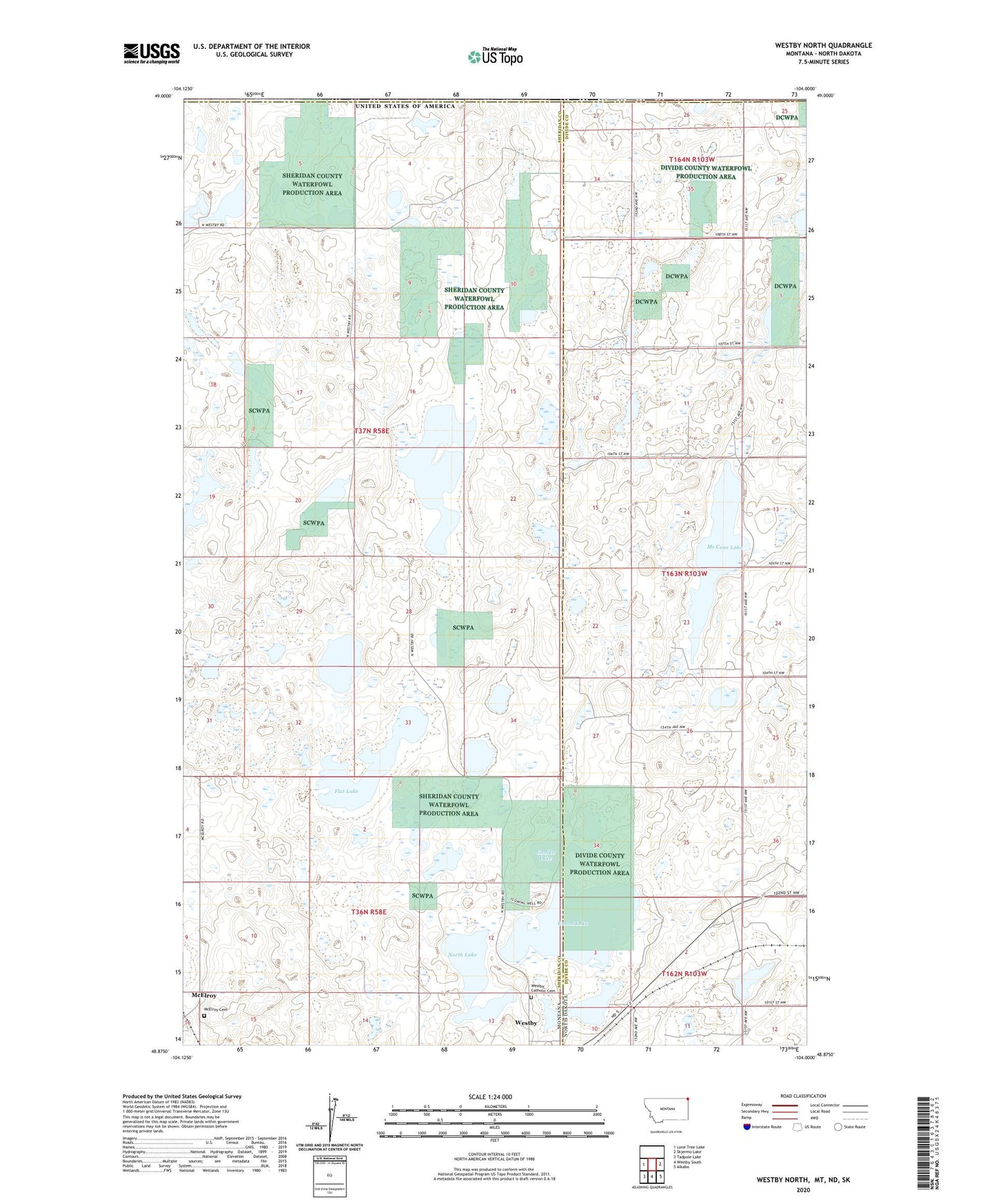
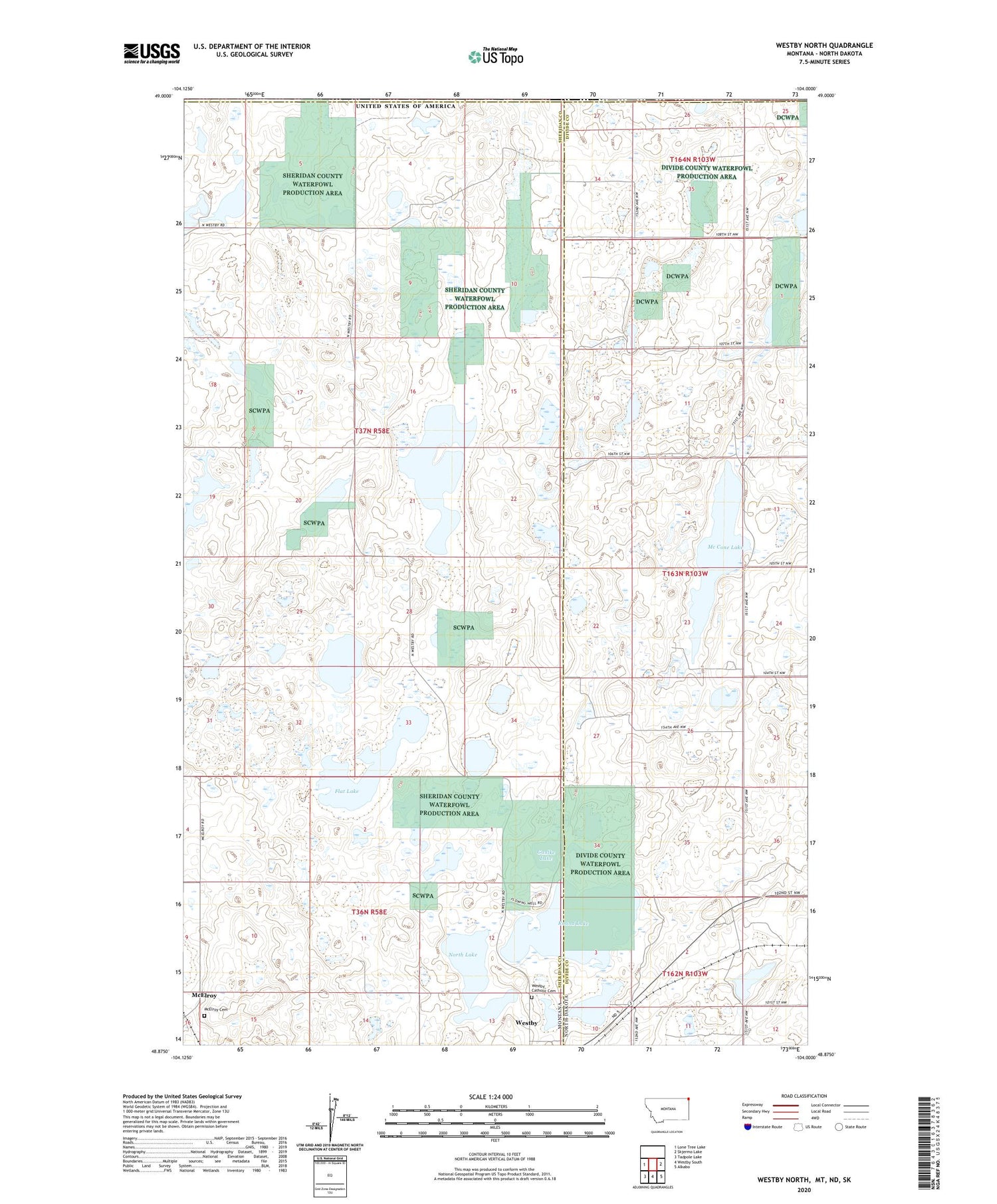
2020 topographic map quadrangle Westby North in the states of Montana, North Dakota. Scale: 1:24000. Based on the newly updated USGS 7.5' US Topo map series, this map is in the following counties: Sheridan, Divide. The map contains contour data, water features, and other items you are used to seeing on USGS maps, but also has updated roads and other features. This is the next generation of topographic maps. Printed on high-quality waterproof paper with UV fade-resistant inks.
Quads adjacent to this one:
West: Lone Tree Lake
East: Skjermo Lake
Southeast: Alkabo
South: Westby South
Southwest: Tadpole Lake
Contains the following named places: 34N58E11DBAB01 Well, 37N58E05CA__01 Well, Flat Lake, Flat Lake Oil Field, Gaulke Lake, Mc Cone Lake, McElroy, McElroy Cemetery, McElroy Post Office, McElroy School, North Lake, Pleasant Valley School, Round Lake, Westby Catholic Cemetery