MyTopo
Whiteside Ranch Montana US Topo Map
Couldn't load pickup availability
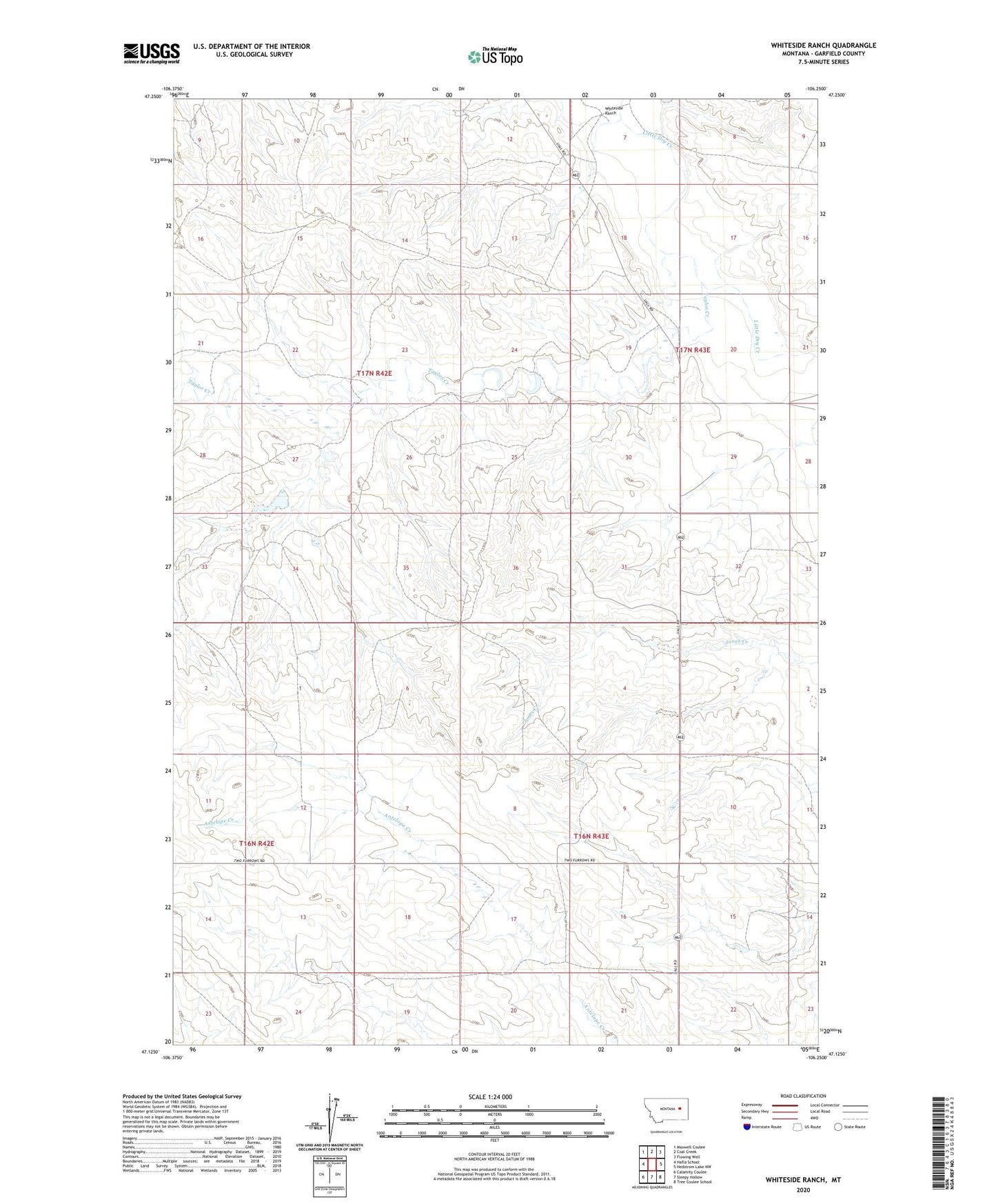
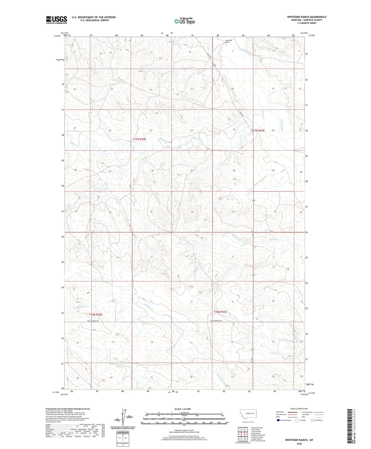
2020 topographic map quadrangle Whiteside Ranch in the state of Montana. Scale: 1:24000. Based on the newly updated USGS 7.5' US Topo map series, this map is in the following counties: Garfield. The map contains contour data, water features, and other items you are used to seeing on USGS maps, but also has updated roads and other features. This is the next generation of topographic maps. Printed on high-quality waterproof paper with UV fade-resistant inks.
Quads adjacent to this one:
West: Hafla School
Northwest: Maxwell Coulee
North: Coal Creek
Northeast: Flowing Well
East: Hedstrom Lake NW
Southeast: Tree Coulee School
South: Sleepy Hollow
Southwest: Calamity Coulee
Contains the following named places: 17N43E07B___01 Well, Bank Dam, Garhart Dam, Neudorfer Church, Ol John Dam, Pitzer School, Purewater School, Steffins Number 1 Dam, Taylor Creek, Whiteside Ranch