MyTopo
Tree Coulee School Montana US Topo Map
Couldn't load pickup availability
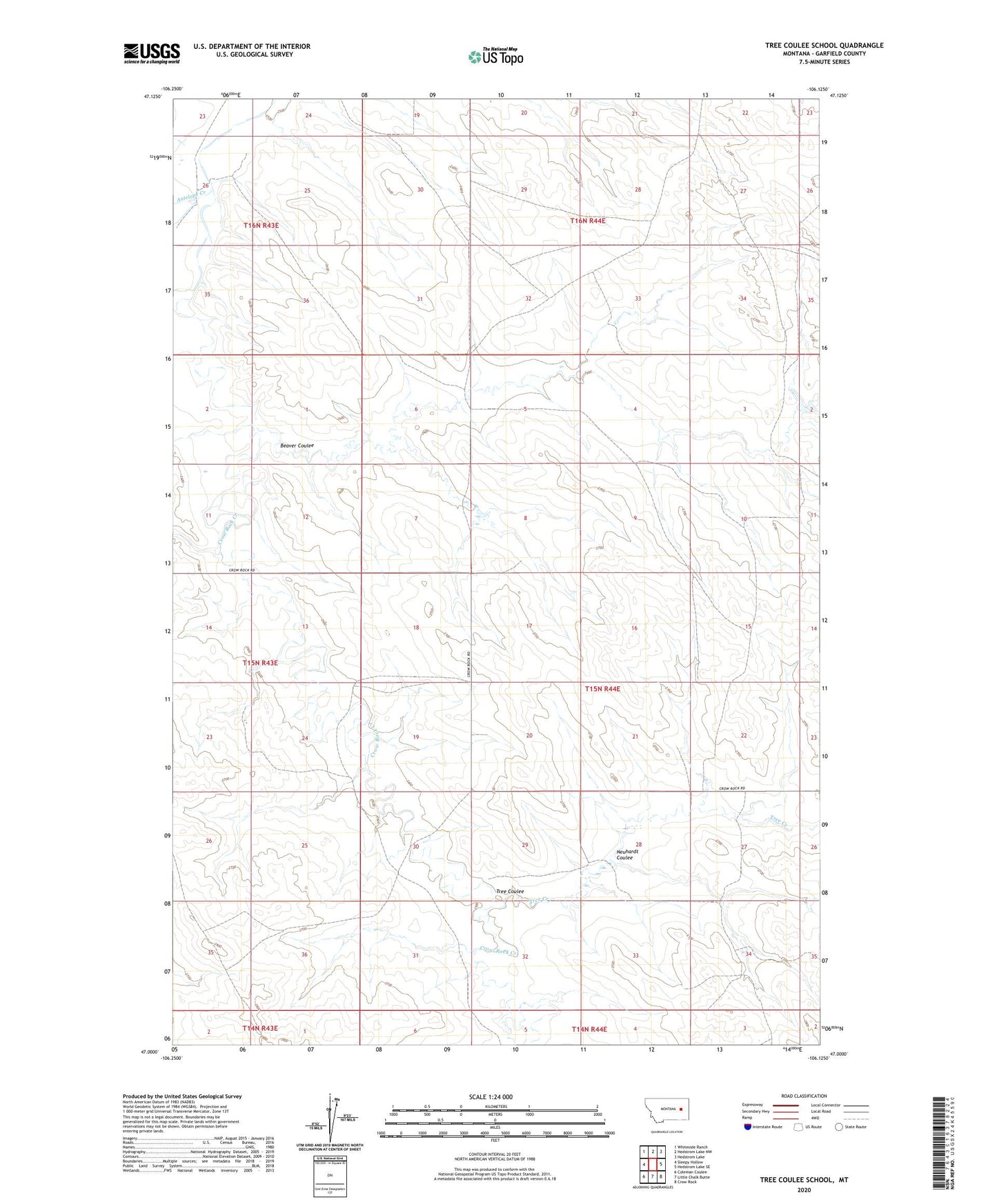
2024 topographic map quadrangle Tree Coulee School in the state of Montana. Scale: 1:24000. Based on the newly updated USGS 7.5' US Topo map series, this map is in the following counties: Garfield. The map contains contour data, water features, and other items you are used to seeing on USGS maps, but also has updated roads and other features. This is the next generation of topographic maps. Printed on high-quality waterproof paper with UV fade-resistant inks.
Quads adjacent to this one:
West: Sleepy Hollow
Northwest: Whiteside Ranch
North: Hedstrom Lake NW
Northeast: Hedstrom Lake
East: Hedstrom Lake SE
Southeast: Crow Rock
South: Little Chalk Butte
Southwest: Coleman Coulee
This map covers the same area as the classic USGS quad with code o47106a2.
Contains the following named places: 15N44E08CDAD01 Well, 15N44E22CCCD01 Well, 15N44E27ACAA01 Well, 15N44E28AADA01 Well, 16N44E22CCCD01 Well, 16N44E30ADAD01 Well, 59312, Alfred Jordan Number 1 Dam, Antelope Creek, Beaver Coulee, Crow Rock Creek, Neuhardt Coulee, Tree Coulee, Tree Coulee School, Tree Creek