MyTopo
Woodworth Montana US Topo Map
Couldn't load pickup availability
Also explore the Woodworth Forest Service Topo of this same quad for updated USFS data
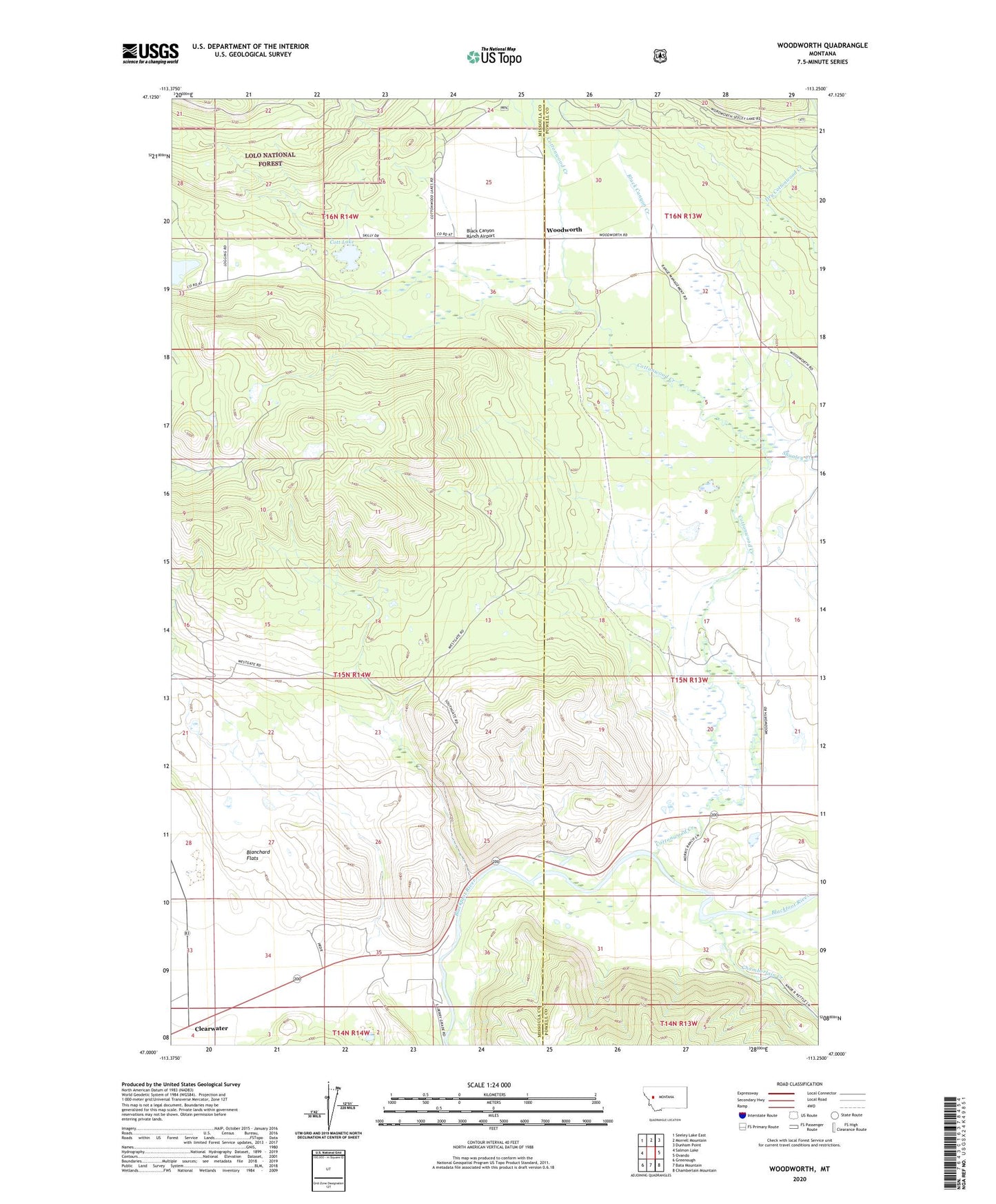
2024 topographic map quadrangle Woodworth in the state of Montana. Scale: 1:24000. Based on the newly updated USGS 7.5' US Topo map series, this map is in the following counties: Powell, Missoula. The map contains contour data, water features, and other items you are used to seeing on USGS maps, but also has updated roads and other features. This is the next generation of topographic maps. Printed on high-quality waterproof paper with UV fade-resistant inks.
Quads adjacent to this one:
West: Salmon Lake
Northwest: Seeley Lake East
North: Morrell Mountain
Northeast: Dunham Point
East: Ovando
Southeast: Chamberlain Mountain
South: Bata Mountain
Southwest: Greenough
This map covers the same area as the classic USGS quad with code o47113a3.
Contains the following named places: 15N13W20BABB01 Well, 15N13W29CDBD01 Well, 15N13W32ACCA01 Well, 15N14W25DBDD01 Well, 15N14W36BCDB01 Well, 16N14W25AADA01 Well, 16N14W25BCCB01 Well, 16N14W25CDDC01 Well, Bear Creek, Black Canyon Creek, Black Canyon Ranch Airport, Blanchard Flats, Buffalo Trail Ranch Strip Airport, Chamberlain Creek, Cott Lake, Cottonwood, Cottonwood Creek, Cottonwood Park, Cozy Corners, Old Boyd Ranch, Park School, Russell Gates Memorial Campground, Russell Gates Memorial Fishing Access Site, Shanley Creek, Tote Road Lake, Woodworth, Woodworth Post Office