MyTopo
Yaple Bench Montana US Topo Map
Couldn't load pickup availability
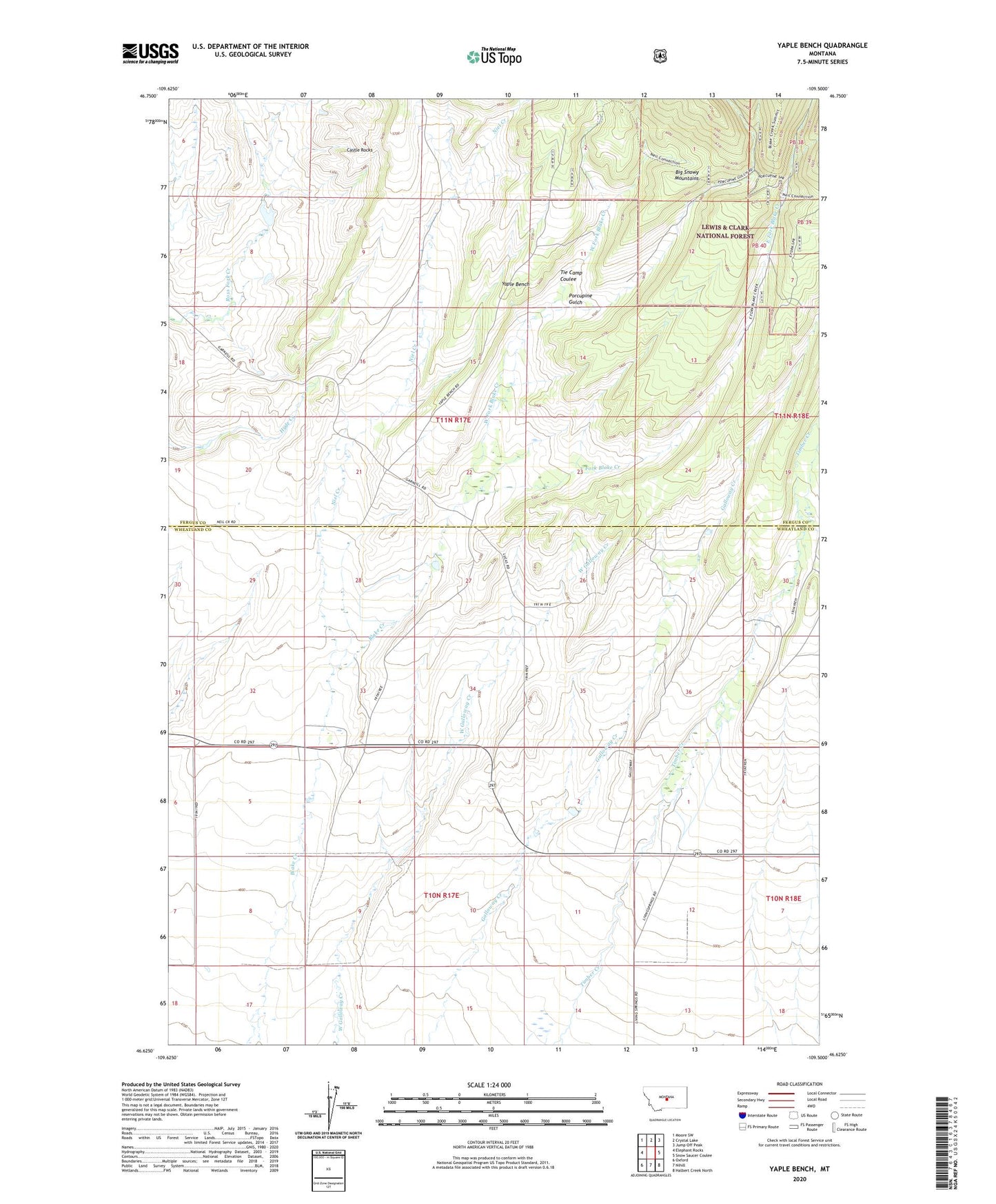
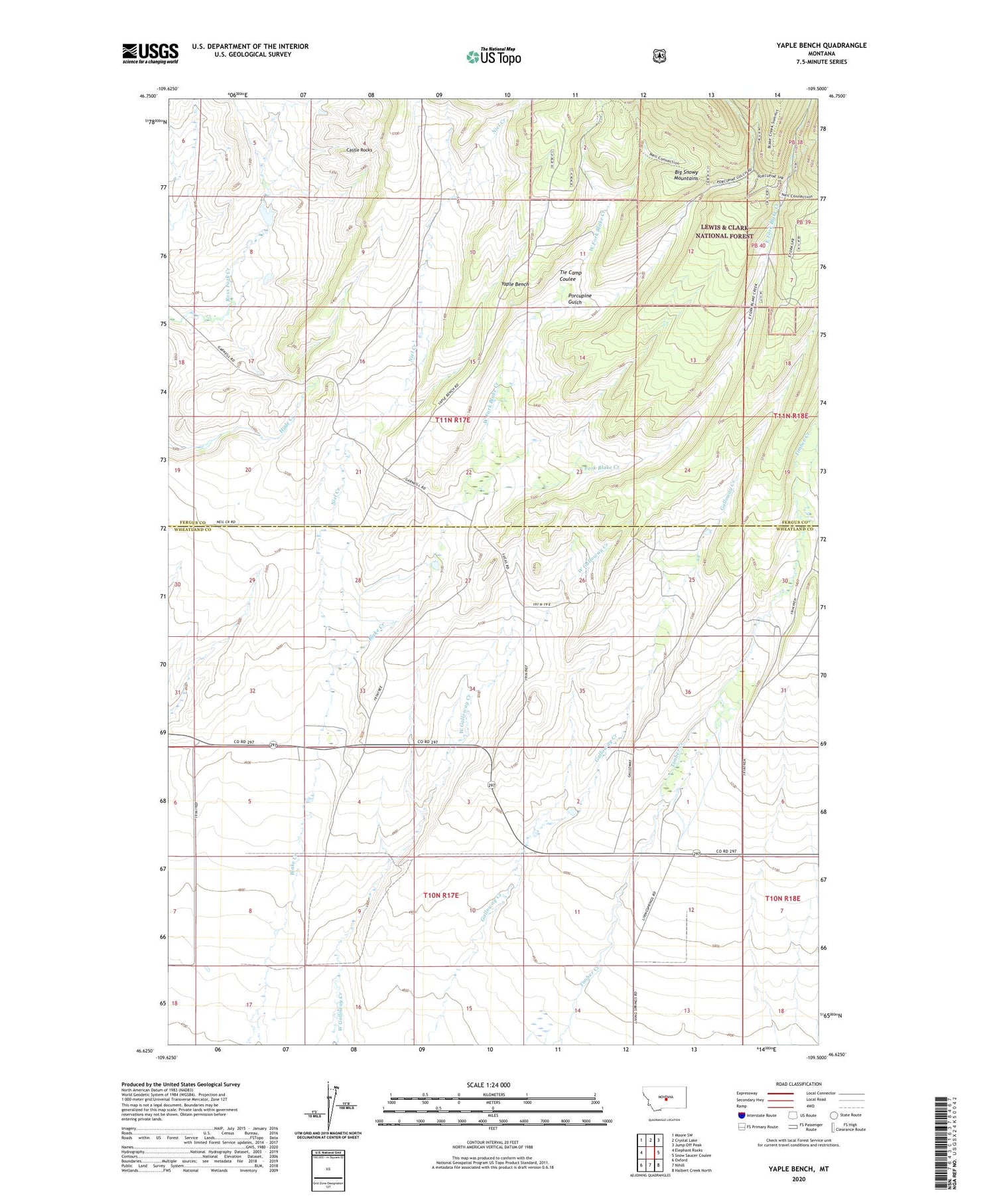
2020 topographic map quadrangle Yaple Bench in the state of Montana. Scale: 1:24000. Based on the newly updated USGS 7.5' US Topo map series, this map is in the following counties: Wheatland, Fergus. The map contains contour data, water features, and other items you are used to seeing on USGS maps, but also has updated roads and other features. This is the next generation of topographic maps. Printed on high-quality waterproof paper with UV fade-resistant inks.
Quads adjacent to this one:
West: Elephant Rocks
Northwest: Moore SW
North: Crystal Lake
Northeast: Jump Off Peak
East: Snow Saucer Coulee
Southeast: Halbert Creek North
South: Nihill
Southwest: Oxford
Contains the following named places: Blake Creek Forest Station, Castle Rocks, East Fork Blake Creek, Niel Creek, Porcupine Gulch, Tie Camp Coulee, West Evers Saw Mill, West Fork Blake Creek, Yaple Bench