MyTopo
Nihill Montana US Topo Map
Couldn't load pickup availability
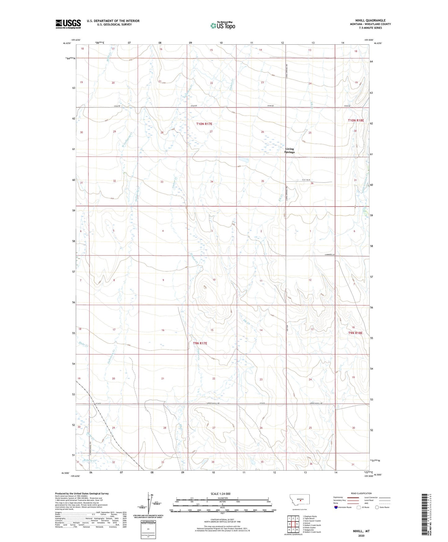
2024 topographic map quadrangle Nihill in the state of Montana. Scale: 1:24000. Based on the newly updated USGS 7.5' US Topo map series, this map is in the following counties: Wheatland. The map contains contour data, water features, and other items you are used to seeing on USGS maps, but also has updated roads and other features. This is the next generation of topographic maps. Printed on high-quality waterproof paper with UV fade-resistant inks.
Quads adjacent to this one:
West: Oxford
Northwest: Elephant Rocks
North: Yaple Bench
Northeast: Snow Saucer Coulee
East: Halbert Creek North
Southeast: Halbert Creek South
South: Hedgesville
Southwest: Ethels Coulee
This map covers the same area as the classic USGS quad with code o46109e5.
Contains the following named places: 09N17E13B___01 Well, 09N17E21C___01 Well, 10N17E24B___01 Well, 10N17E25C___01 Well, 10N17E36B___01 Well, Galloway Creek, Living Springs, Living Springs Post Office, Living Springs School, Nihill Post Office, Nihill School, Nihill Siding, Timber Creek, West Galloway Creek