MyTopo
Arnold Lake Nebraska US Topo Map
Couldn't load pickup availability
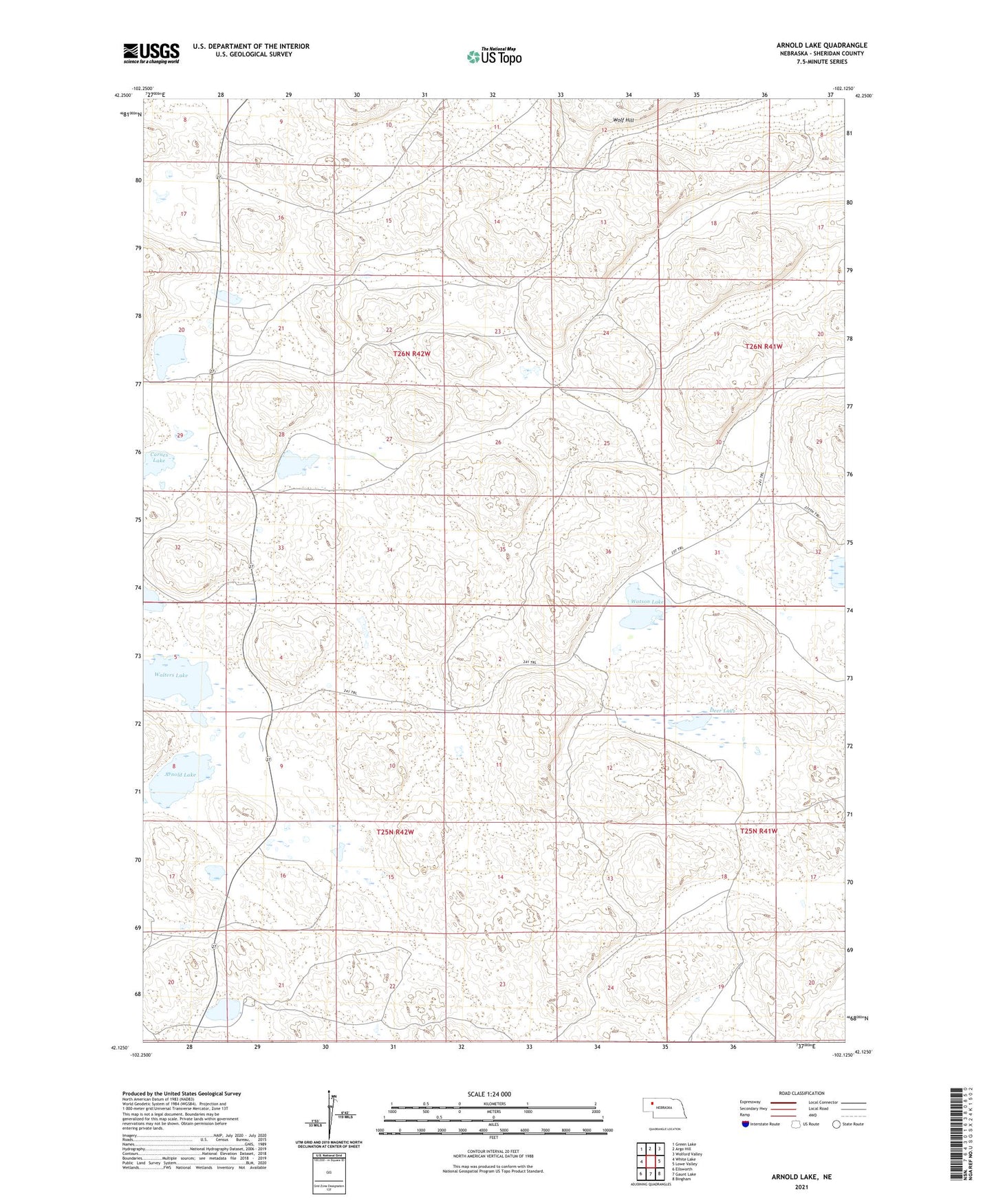
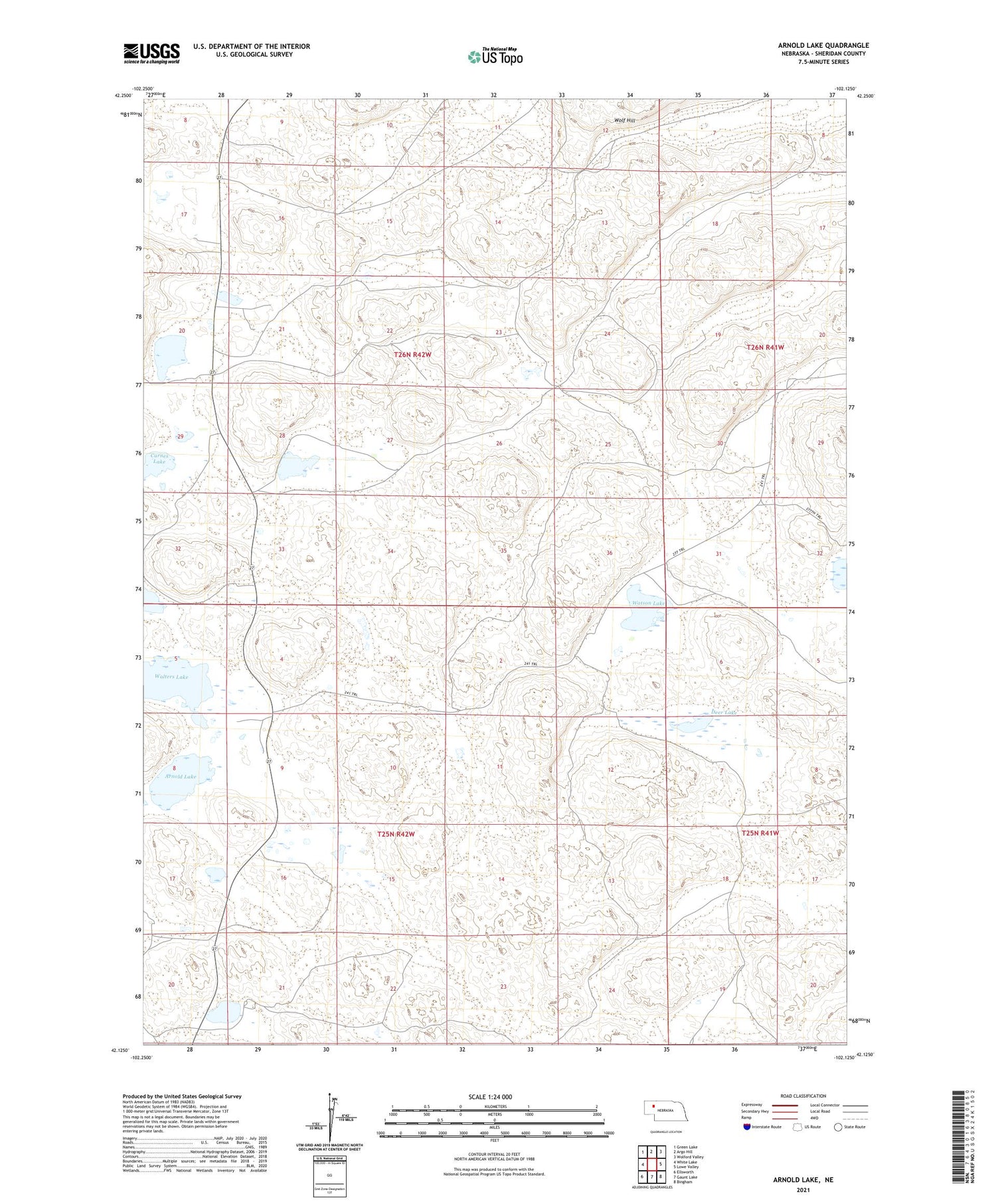
2021 topographic map quadrangle Arnold Lake in the state of Nebraska. Scale: 1:24000. Based on the newly updated USGS 7.5' US Topo map series, this map is in the following counties: Sheridan. The map contains contour data, water features, and other items you are used to seeing on USGS maps, but also has updated roads and other features. This is the next generation of topographic maps. Printed on high-quality waterproof paper with UV fade-resistant inks.
Quads adjacent to this one:
West: White Lake
Northwest: Green Lake
North: Argo Hill
Northeast: Wolford Valley
East: Lowe Valley
Southeast: Bingham
South: Gaunt Lake
Southwest: Ellsworth
Contains the following named places: Arnold Lake, Brennan Ranch, Carnes Lake, Deer Lake, Leisy Ranch, Leisy School Number 154, Messersmith Ranch, Nielson Ranch, Roethler Lake, School Number 156, Sowards Ranch, Walters Lake, Ward Ranch, Watson Lake, Wintermuth Lake, ZIP Code: 69340