MyTopo
Ellsworth Nebraska US Topo Map
Couldn't load pickup availability
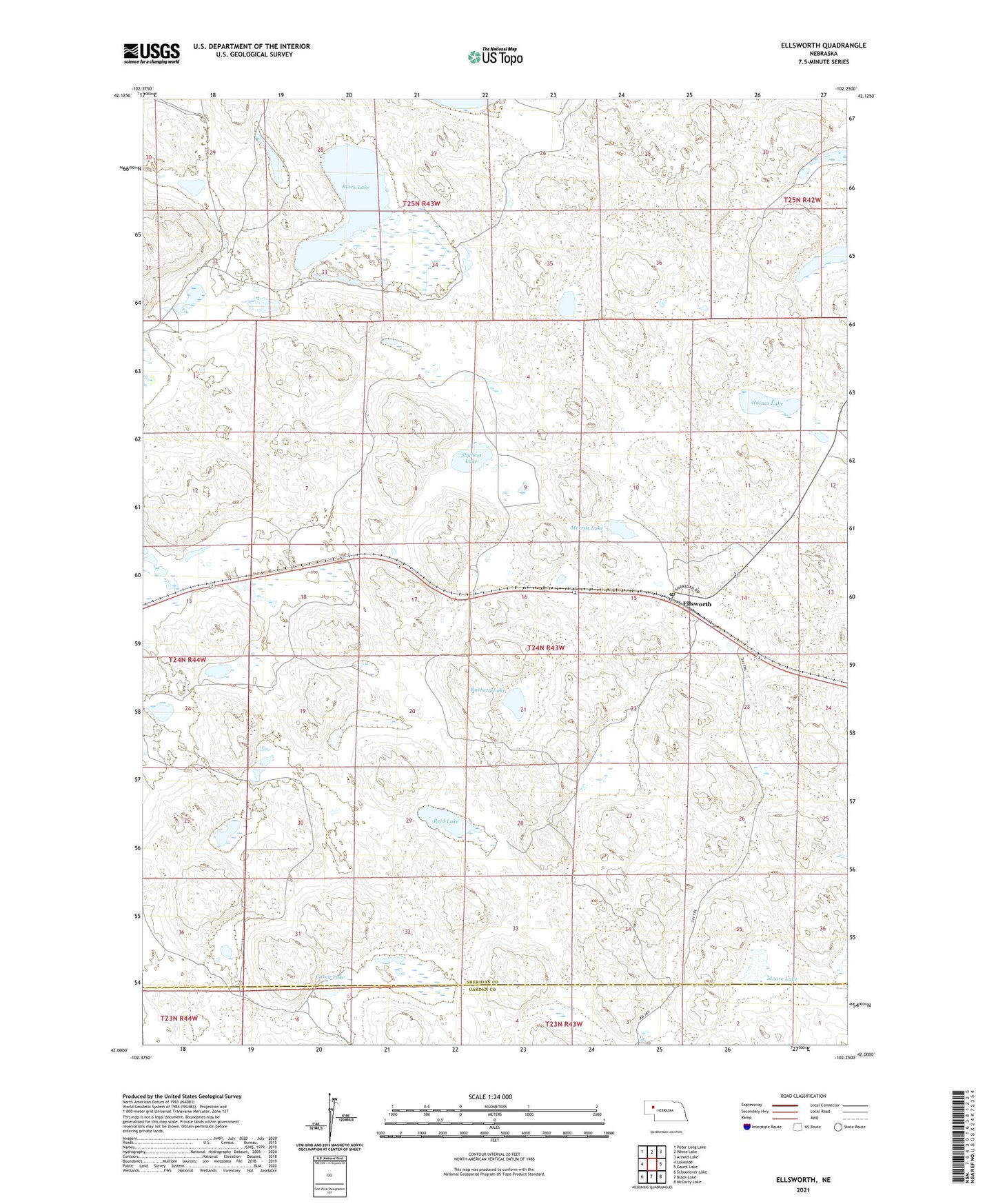
2021 topographic map quadrangle Ellsworth in the state of Nebraska. Scale: 1:24000. Based on the newly updated USGS 7.5' US Topo map series, this map is in the following counties: Sheridan, Garden. The map contains contour data, water features, and other items you are used to seeing on USGS maps, but also has updated roads and other features. This is the next generation of topographic maps. Printed on high-quality waterproof paper with UV fade-resistant inks.
Quads adjacent to this one:
West: Lakeside
Northwest: Peter Long Lake
North: White Lake
Northeast: Arnold Lake
East: Gaunt Lake
Southeast: McCarty Lake
South: Black Lake
Southwest: Schoonover Lake
This map covers the same area as the classic USGS quad with code o42102a3.
Contains the following named places: Black Lake, Carey Lake, Ellsworth, Ellsworth Post Office, Haines Lake, Merritt Lake, Moore Lake, Pleasant Point Community Church, Rasberg Lake, Reid Lake, School Number 119, Shubert Lake, Spade Ranch Historical Marker, West Ellsworth