MyTopo
Barn Butte Nebraska US Topo Map
Couldn't load pickup availability
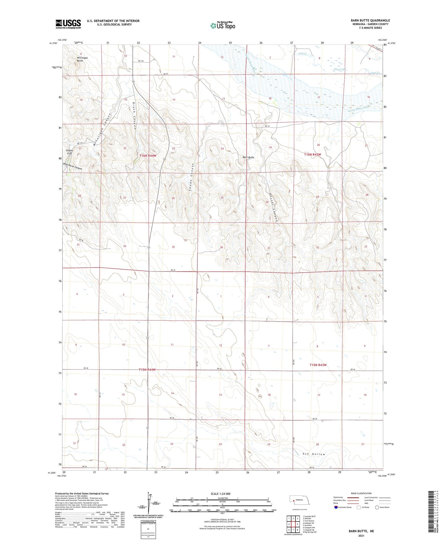
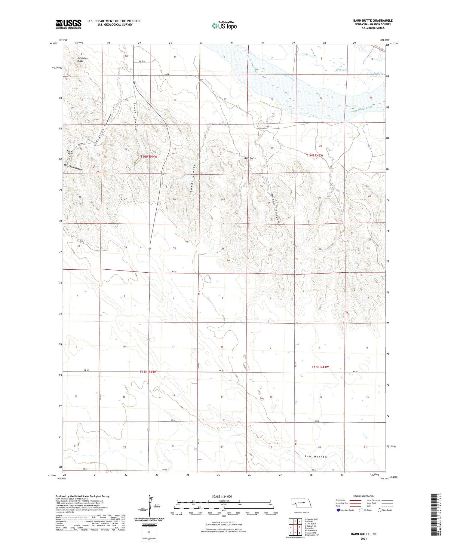
2021 topographic map quadrangle Barn Butte in the state of Nebraska. Scale: 1:24000. Based on the newly updated USGS 7.5' US Topo map series, this map is in the following counties: Garden. The map contains contour data, water features, and other items you are used to seeing on USGS maps, but also has updated roads and other features. This is the next generation of topographic maps. Printed on high-quality waterproof paper with UV fade-resistant inks.
Quads adjacent to this one:
West: Oshkosh SW
Northwest: Coumbe Bluff
North: Oshkosh
Northeast: Twin Buttes
East: Lewellen
Southeast: Big Springs NW
South: Chappell NE
Southwest: Chappell NW
Contains the following named places: Barn Butte, Brush Canyon, Eagles Cliff, John Hollman Grave Historical Marker, McCuligan Butte, McCuligan Canyon, Onstot Canyon, School Number 5, Swede Canyon, Wild Horse Canyon