MyTopo
Bixby Nebraska US Topo Map
Couldn't load pickup availability
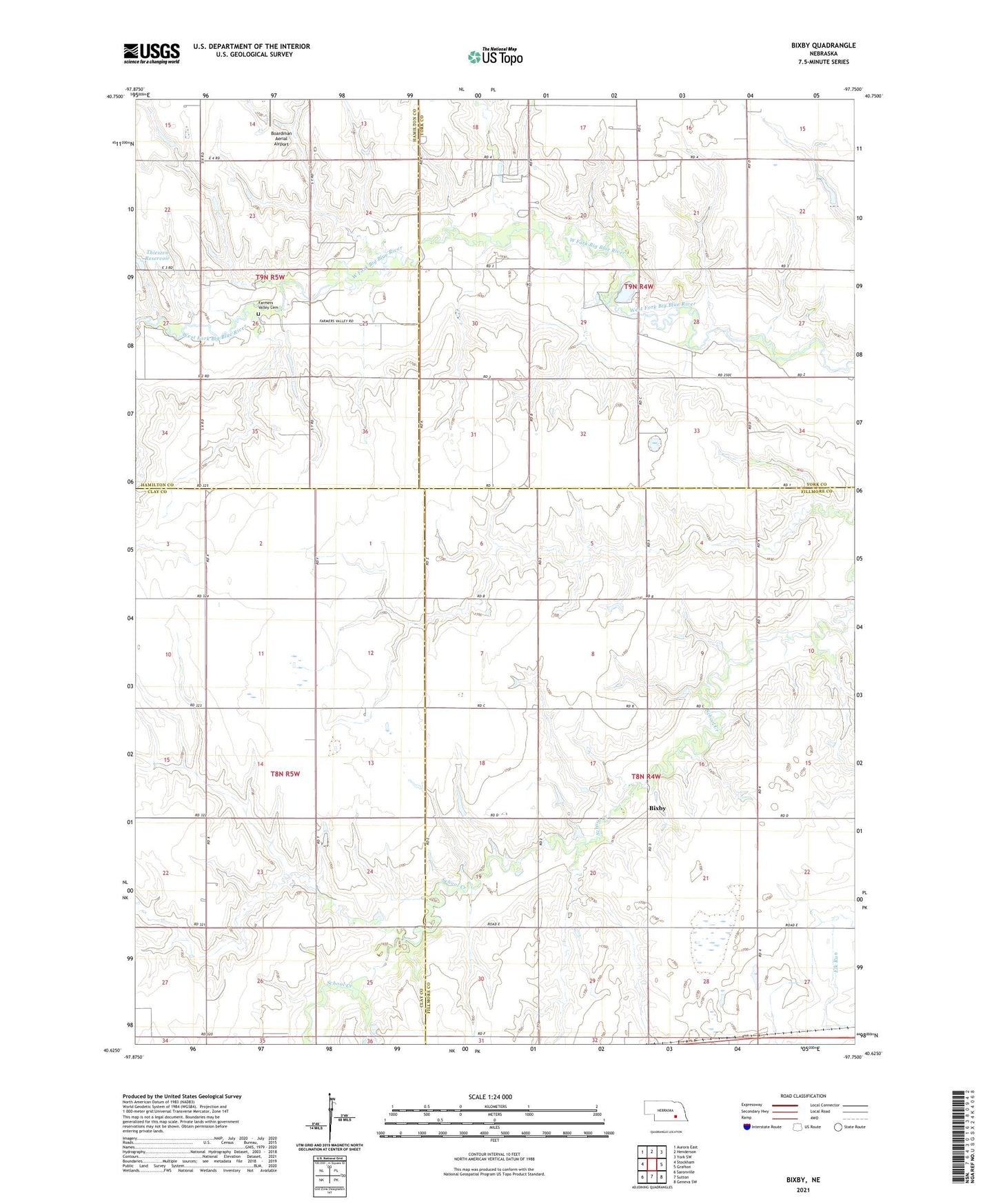
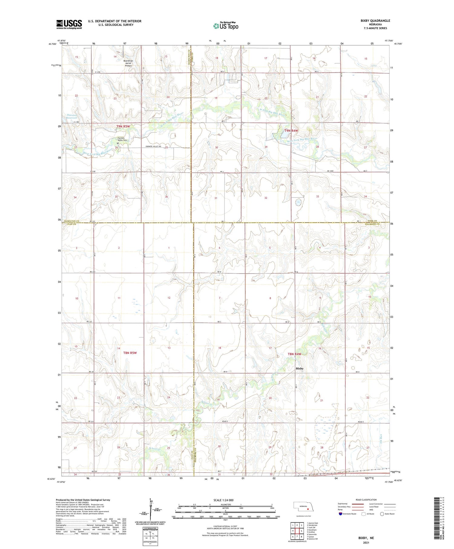
2021 topographic map quadrangle Bixby in the state of Nebraska. Scale: 1:24000. Based on the newly updated USGS 7.5' US Topo map series, this map is in the following counties: Fillmore, York, Clay, Hamilton. The map contains contour data, water features, and other items you are used to seeing on USGS maps, but also has updated roads and other features. This is the next generation of topographic maps. Printed on high-quality waterproof paper with UV fade-resistant inks.
Quads adjacent to this one:
West: Stockham
Northwest: Aurora East
North: Henderson
Northeast: York SW
East: Grafton
Southeast: Geneva SW
South: Sutton
Southwest: Saronville
Contains the following named places: Bixby, Boardman Airfield, Farmers Valley Cemetery, Farmers Valley Cemetery Historical Marker, Henderson Election Precinct, Lyman Post Office, Salem Church, Thieszen Dam, Thieszen Reservoir, Township of Grafton, Township of Henderson, Traudt Airport