MyTopo
Brady Nebraska US Topo Map
Couldn't load pickup availability
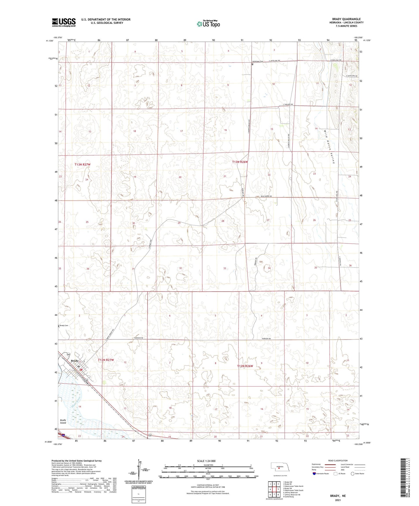
2021 topographic map quadrangle Brady in the state of Nebraska. Scale: 1:24000. Based on the newly updated USGS 7.5' US Topo map series, this map is in the following counties: Lincoln. The map contains contour data, water features, and other items you are used to seeing on USGS maps, but also has updated roads and other features. This is the next generation of topographic maps. Printed on high-quality waterproof paper with UV fade-resistant inks.
Quads adjacent to this one:
West: Brady SW
Northwest: Brady NW
North: Brady NE
Northeast: Odencranze Table North
East: Odencranze Table South
Southeast: Gothenburg
South: Jeffrey Reservoir NE
Southwest: Jeffrey Reservoir
This map covers the same area as the classic USGS quad with code o41100a3.
Contains the following named places: Antelope Cemetery, Berean Fundamental Church, Brady, Brady Post Office, Brady Public Schools, Brady Rural Health Clinic, Brady Volunteer Fire and Rescue, Farmland Service Coop Incorporated Elevator, Fort Brady Museum, Pawnee Creek, Svea Church, United Methodist Church, Village of Brady, Wild Horse Valley School, ZIP Code: 69123