MyTopo
Brule Nebraska US Topo Map
Couldn't load pickup availability
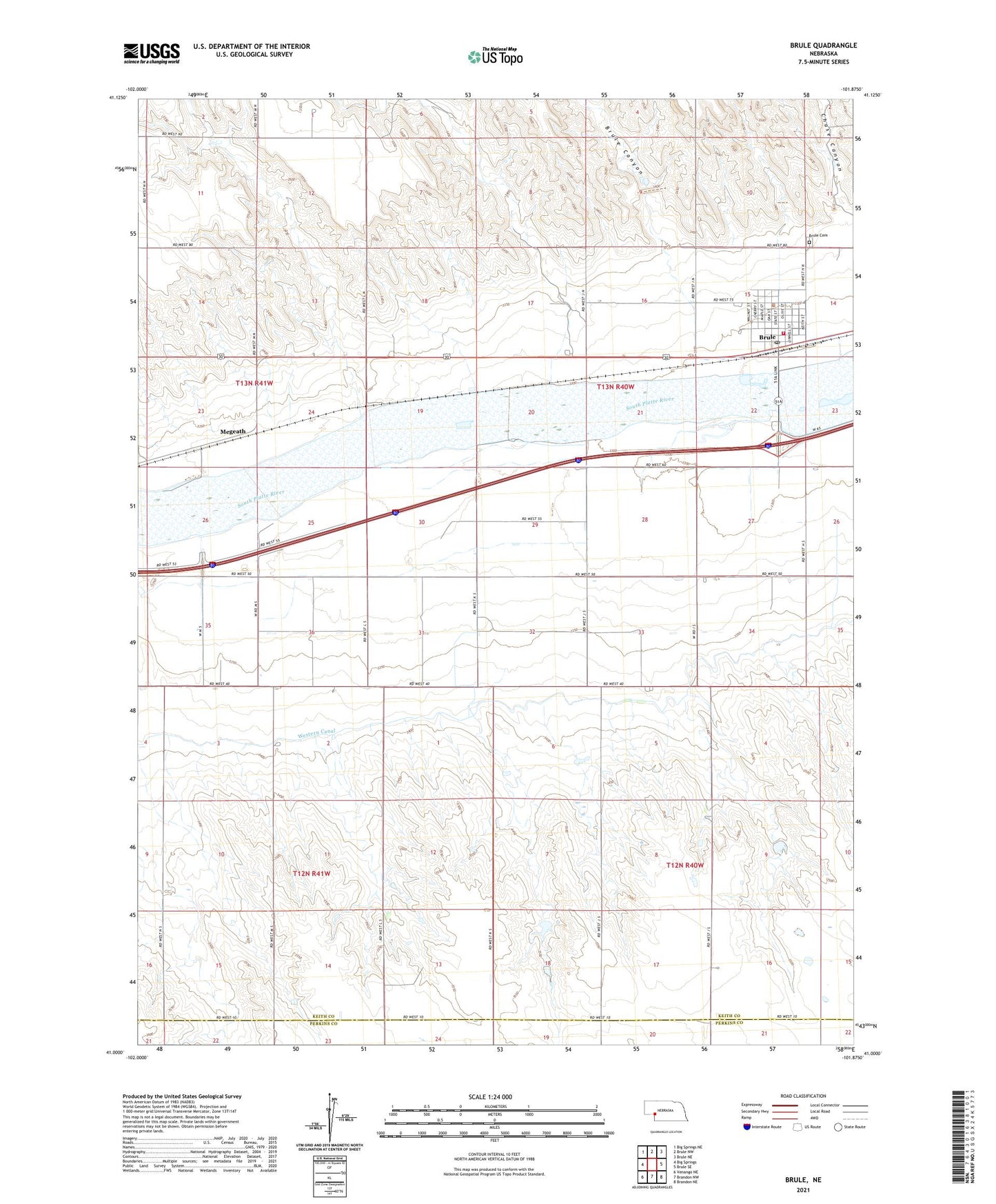
2021 topographic map quadrangle Brule in the state of Nebraska. Scale: 1:24000. Based on the newly updated USGS 7.5' US Topo map series, this map is in the following counties: Keith, Perkins. The map contains contour data, water features, and other items you are used to seeing on USGS maps, but also has updated roads and other features. This is the next generation of topographic maps. Printed on high-quality waterproof paper with UV fade-resistant inks.
Quads adjacent to this one:
West: Big Springs
Northwest: Big Springs NE
North: Brule NW
Northeast: Brule NE
East: Brule SE
Southeast: Brandon NE
South: Brandon NW
Southwest: Venango NE
This map covers the same area as the classic USGS quad with code o41101a8.
Contains the following named places: Beals Trailer Court, Brule, Brule Canyon, Brule Cemetery, Brule Creek Reservoir 1-A, Brule Post Office, Brule Volunteer Fire Department, California Hill Historical Marker, Detention Dam 1-A-1, Diamond Springs, Jacks Bean Company Elevator, Megeath, Riverside Campground, Saint Johns Lutheran Church, School Number 61, South Platte Elementary School, United Church of Christ Congregational, Village of Brule