MyTopo
Burr Nebraska US Topo Map
Couldn't load pickup availability
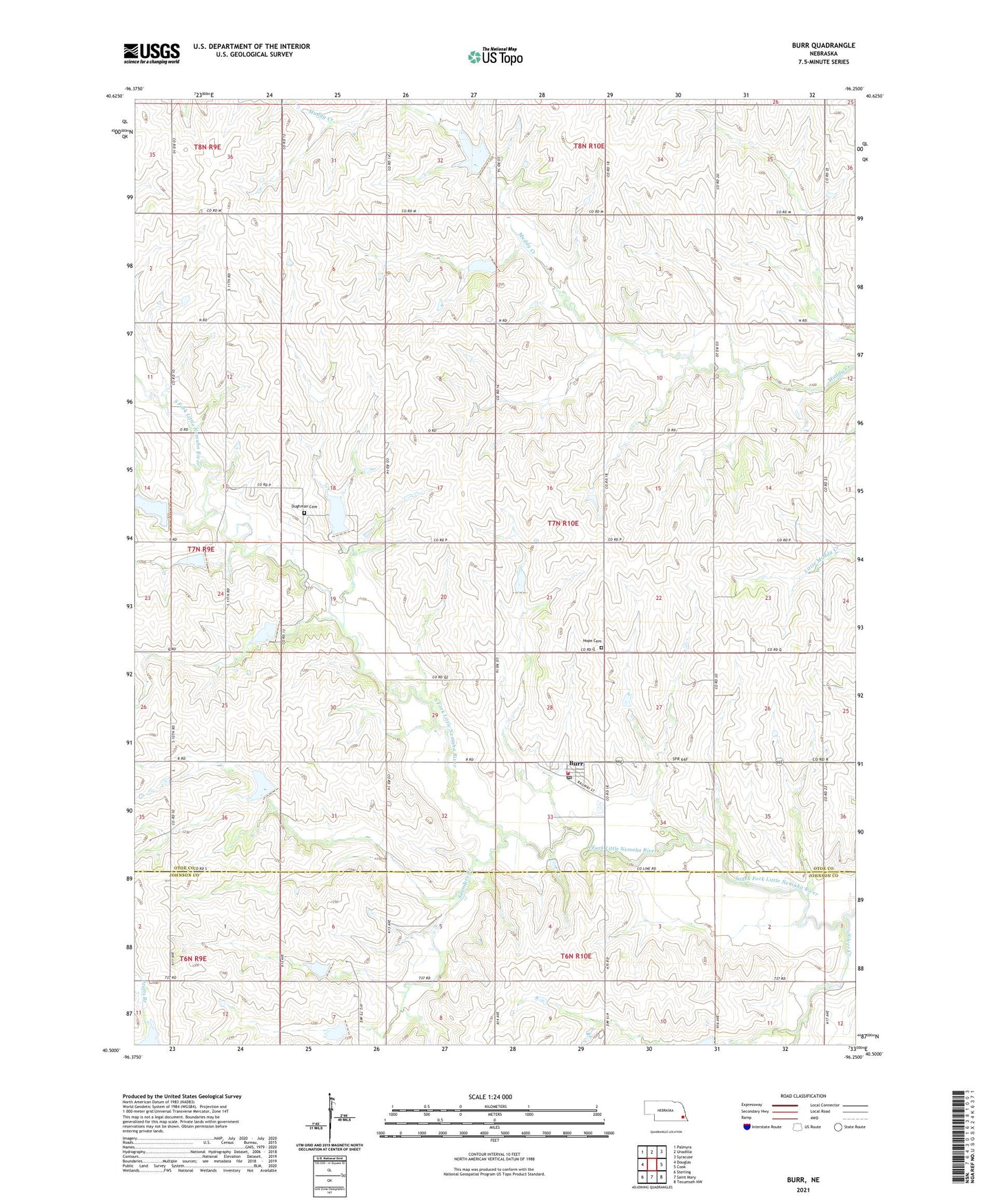
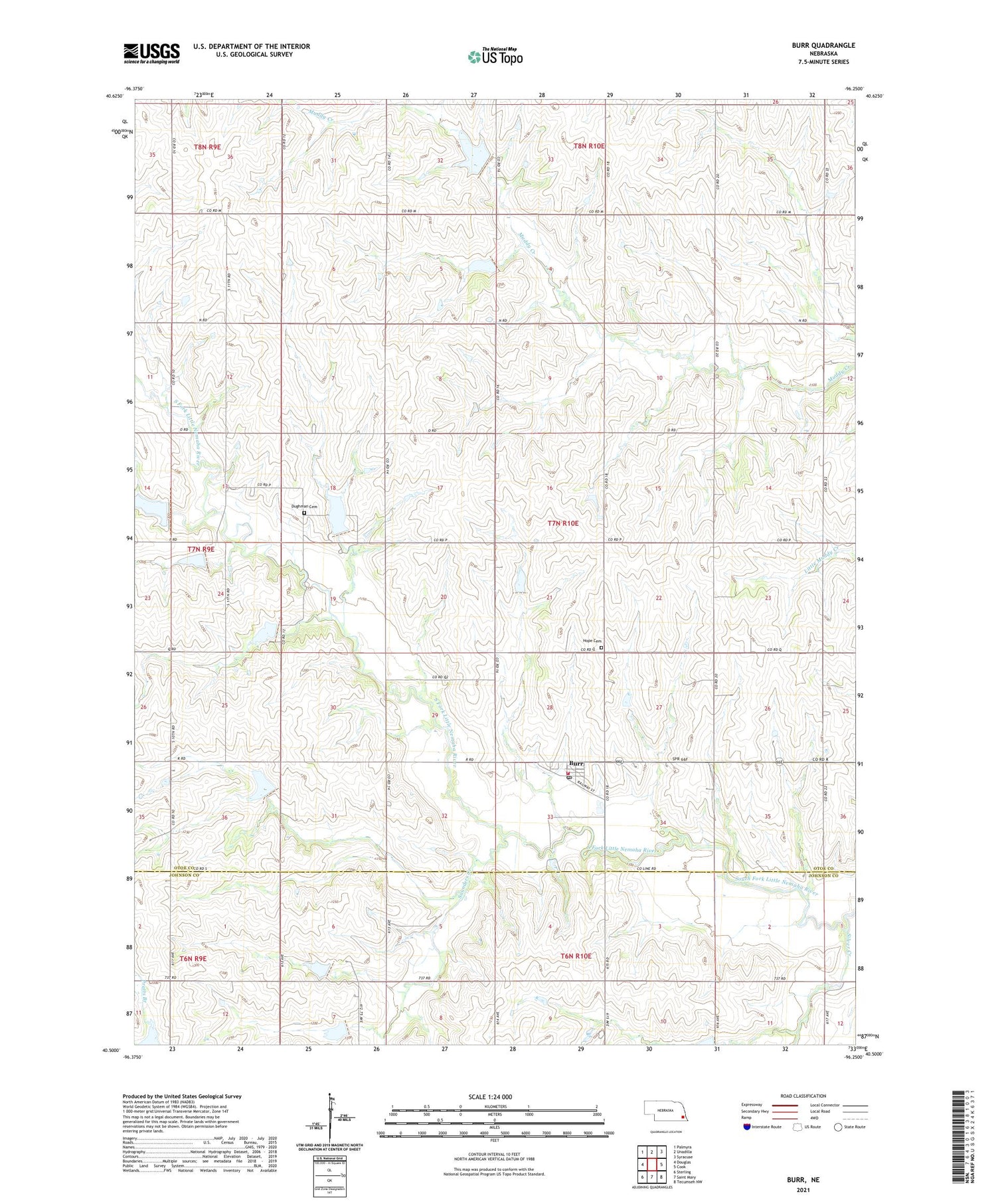
2021 topographic map quadrangle Burr in the state of Nebraska. Scale: 1:24000. Based on the newly updated USGS 7.5' US Topo map series, this map is in the following counties: Otoe, Johnson. The map contains contour data, water features, and other items you are used to seeing on USGS maps, but also has updated roads and other features. This is the next generation of topographic maps. Printed on high-quality waterproof paper with UV fade-resistant inks.
Quads adjacent to this one:
West: Douglas
Northwest: Palmyra
North: Unadilla
Northeast: Syracuse
East: Cook
Southeast: Tecumseh NW
South: Saint Mary
Southwest: Sterling
Contains the following named places: Burr, Burr Post Office, Burr Rescue Squad Incorporated, Burr Volunteer Fire Department, Dughman Cemetery, Farmers Co-op Elevator, Hope Cemetery, Hope Lutheran Church, Hopewell Church, Saunders Creek, Saunders Creek School, Silver Creek, South Branch Election Precinct, Township of South Branch, Village of Burr, Watermeier Airport, ZIP Code: 68324