MyTopo
Butte NW Nebraska US Topo Map
Couldn't load pickup availability
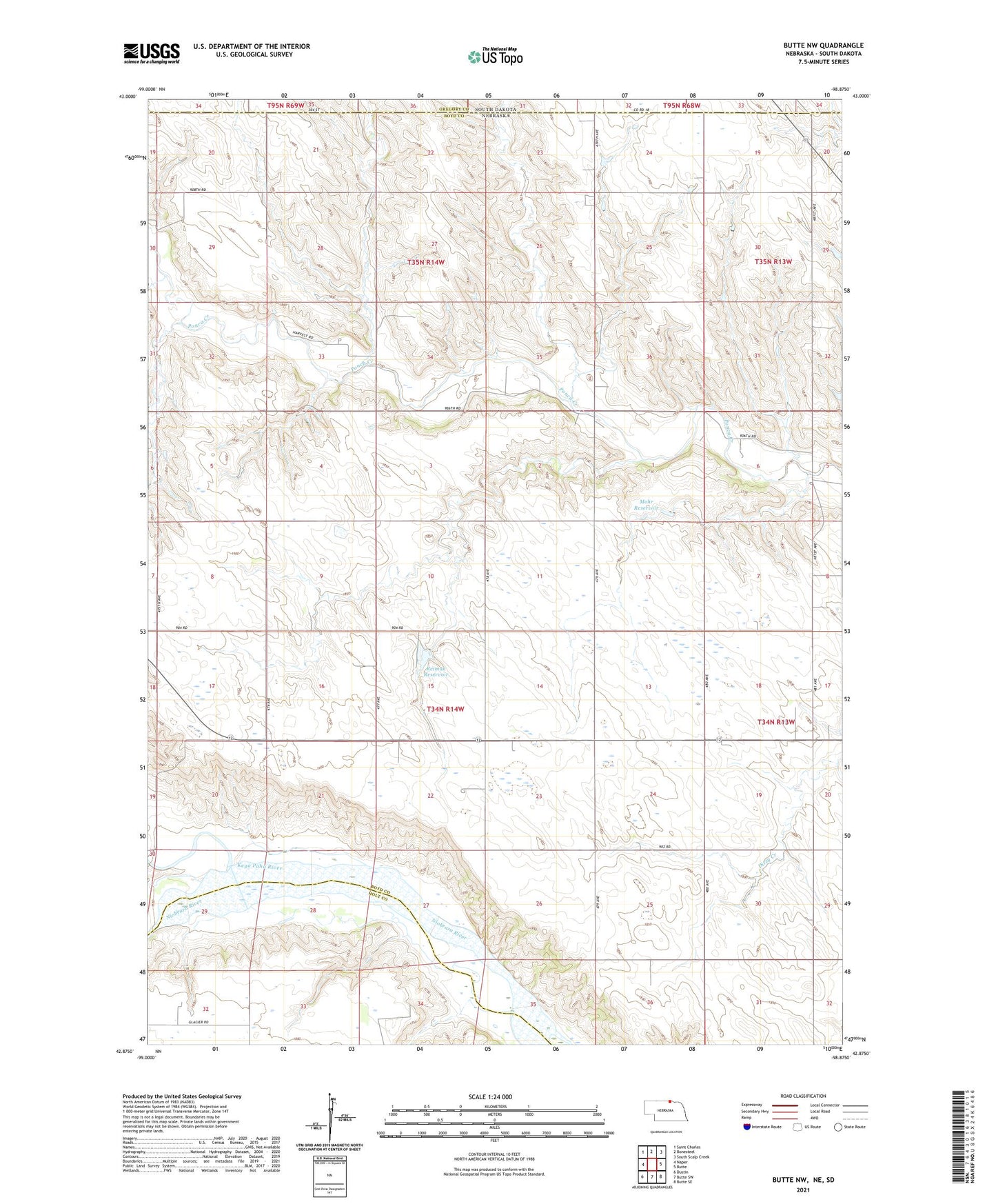
2021 topographic map quadrangle Butte NW in the state of Nebraska. Scale: 1:24000. Based on the newly updated USGS 7.5' US Topo map series, this map is in the following counties: Boyd, Holt, Gregory. The map contains contour data, water features, and other items you are used to seeing on USGS maps, but also has updated roads and other features. This is the next generation of topographic maps. Printed on high-quality waterproof paper with UV fade-resistant inks.
Quads adjacent to this one:
West: Naper
Northwest: Saint Charles
North: Bonesteel
Northeast: South Scalp Creek
East: Butte
Southeast: Butte SE
South: Butte SW
Southwest: Dustin
Contains the following named places: Keya Paha River, Mohr Dam, Mohr Reservoir, Ponca Valley School, Reiman Dam, Reiman Reservoir, School Number 10, School Number 2, School Number 25, School Number 3, School Number 46, School Number 49, Township of McCulley