MyTopo
Butte SW Nebraska US Topo Map
Couldn't load pickup availability
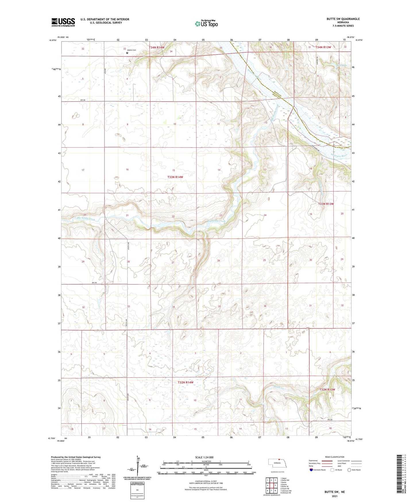
2021 topographic map quadrangle Butte SW in the state of Nebraska. Scale: 1:24000. Based on the newly updated USGS 7.5' US Topo map series, this map is in the following counties: Holt, Boyd. The map contains contour data, water features, and other items you are used to seeing on USGS maps, but also has updated roads and other features. This is the next generation of topographic maps. Printed on high-quality waterproof paper with UV fade-resistant inks.
Quads adjacent to this one:
West: Dustin
Northwest: Naper
North: Butte NW
Northeast: Butte
East: Butte SE
Southeast: Atkinson NE
South: Atkinson NW
Southwest: Stuart NE
This map covers the same area as the classic USGS quad with code o42098g8.
Contains the following named places: Adams Cemetery, Badger Post Office, Badger School, Big Sandy Creek, Hull Dam, Hull Lake, Hull Lake State Wildlife Management Area, Little Sandy Creek, McKathnie School, Prairie Rose School, School Number 20, School Number 68, Township of Dustin