MyTopo
Chappell SE Nebraska US Topo Map
Couldn't load pickup availability
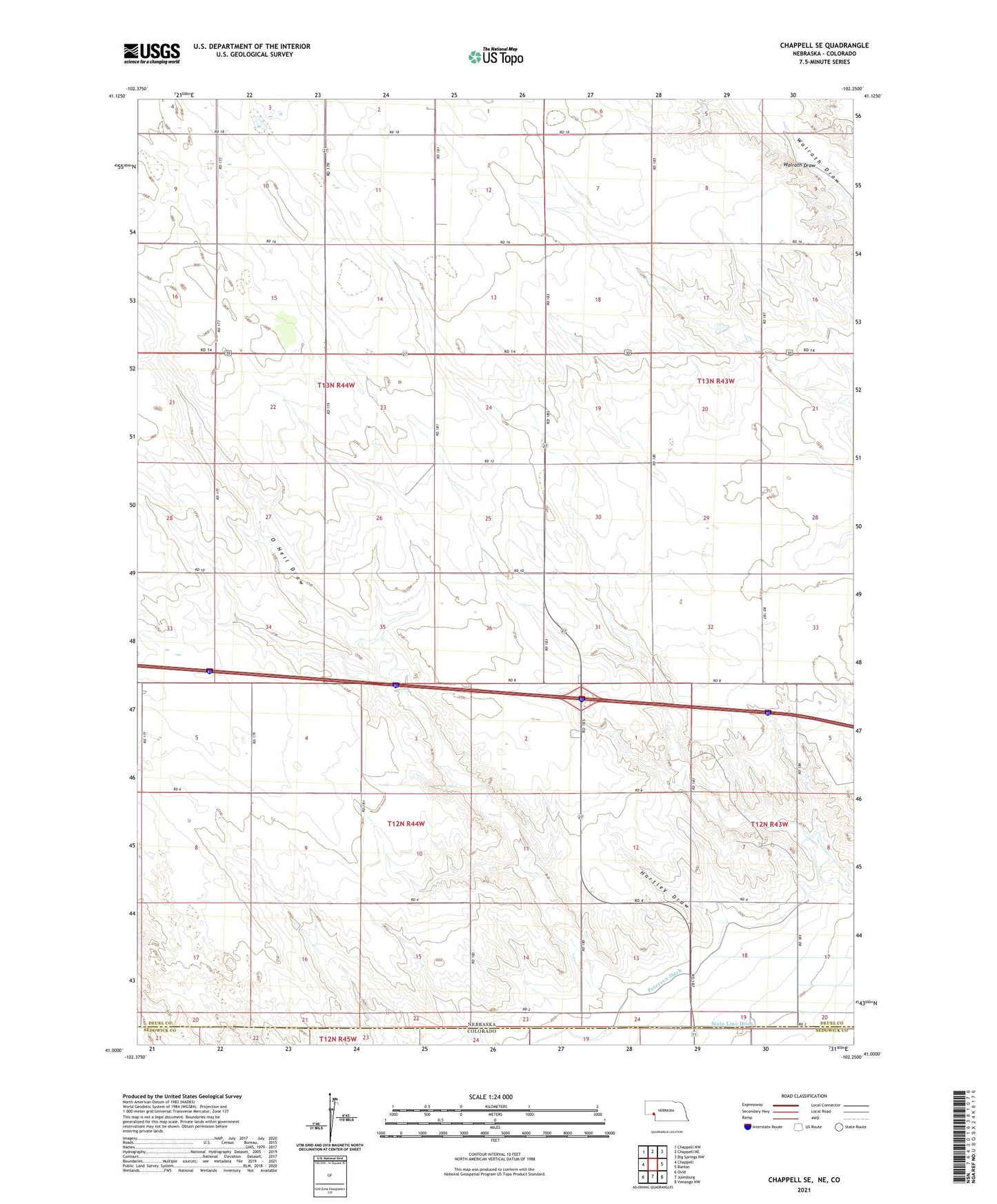
2021 topographic map quadrangle Chappell SE in the state of Nebraska. Scale: 1:24000. Based on the newly updated USGS 7.5' US Topo map series, this map is in the following counties: Deuel, Sedgwick. The map contains contour data, water features, and other items you are used to seeing on USGS maps, but also has updated roads and other features. This is the next generation of topographic maps. Printed on high-quality waterproof paper with UV fade-resistant inks.
Quads adjacent to this one:
West: Chappell
Northwest: Chappell NW
North: Chappell NE
Northeast: Big Springs NW
East: Barton
Southeast: Venango NW
South: Julesburg
Southwest: Ovid
This map covers the same area as the classic USGS quad with code o41102a3.
Contains the following named places: Deuel County, Hartley Draw, O Neil Draw, Peterson Ditch, School Number 41, State Line Ditch, Swan Center School, Walrath Draw