MyTopo
Columbus Nebraska US Topo Map
Couldn't load pickup availability
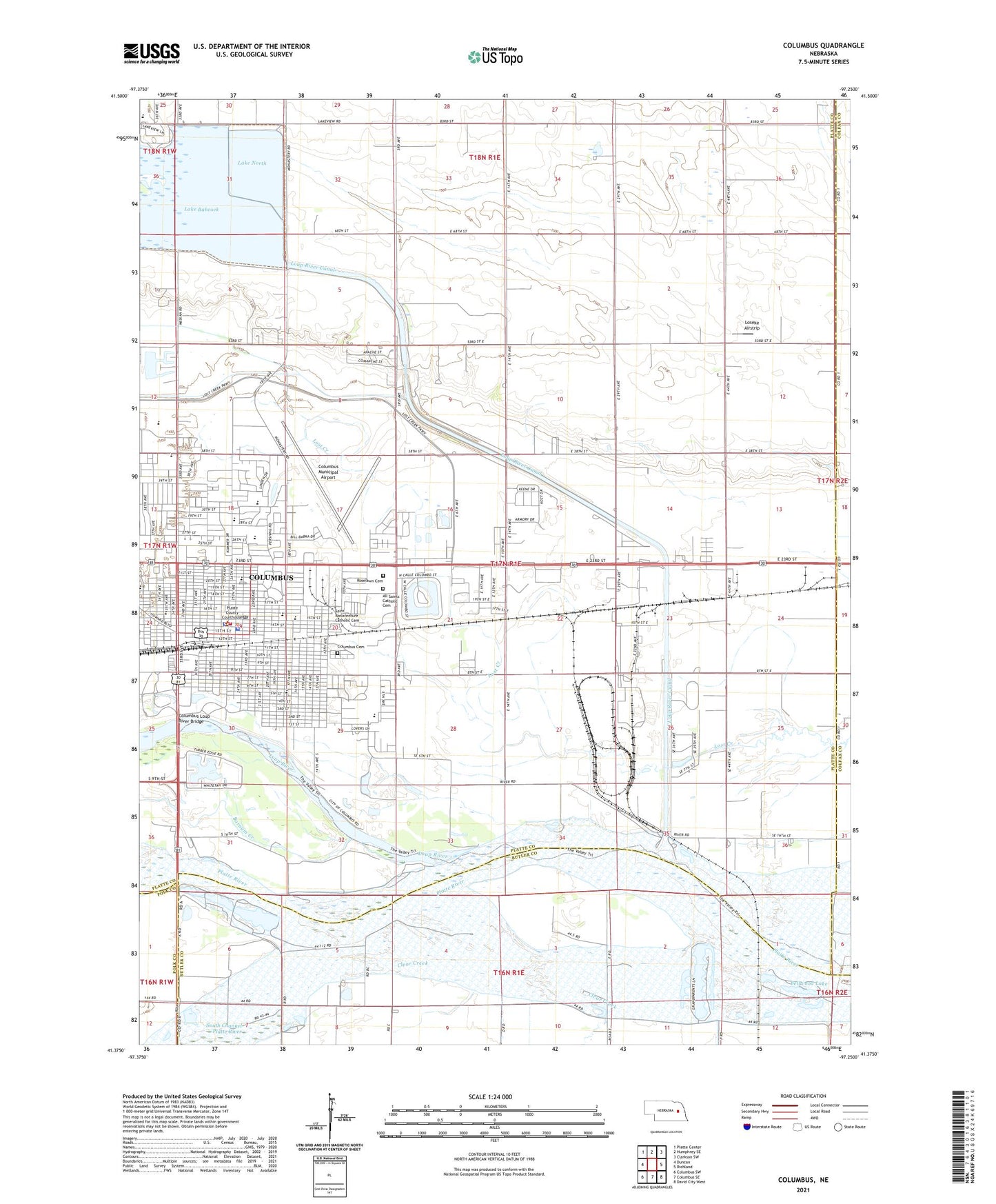
2021 topographic map quadrangle Columbus in the state of Nebraska. Scale: 1:24000. Based on the newly updated USGS 7.5' US Topo map series, this map is in the following counties: Platte, Butler, Colfax, Polk. The map contains contour data, water features, and other items you are used to seeing on USGS maps, but also has updated roads and other features. This is the next generation of topographic maps. Printed on high-quality waterproof paper with UV fade-resistant inks.
Quads adjacent to this one:
West: Duncan
Northwest: Platte Center
North: Humphrey SE
Northeast: Clarkson SW
East: Richland
Southeast: David City West
South: Columbus SE
Southwest: Columbus SW
This map covers the same area as the classic USGS quad with code o41097d3.
Contains the following named places: Adamy Park, Agricultural Park Campground, Agricultural Park Historical Marker, Airport Park, Barnum Creek, Behlen, Behlen Ambulance, Bellwood Lake, Berne Square Park, Buffalo Square, Catholic Cemetery, Centennial Park Baseball Complex, Center of Dermatology, Centrum Plaza, Christ Lutheran Elementary School, Church of Christ, City of Columbus, Clinica Santa Marianita, Columbus, Columbus Beauty College, Columbus Cemetery, Columbus Chiropractic Clinic, Columbus Christian Elementary School, Columbus Clinic, Columbus Dental Clinic, Columbus Family Eye Care Center, Columbus Family Practice Association, Columbus Fire Department, Columbus Foot Clinic, Columbus High School, Columbus Loup River Bridge, Columbus Medical Center, Columbus Middle School, Columbus Municipal Airport, Columbus Otolaryngology Clinic, Columbus Police Department, Columbus Post Office, Columbus Public Library, Columbus Races Thoroughbred Track, Community Care of America, Cottonwood House, Country Mobile Villa, Drinnin Feedlots, Early Era of Railroading Monument, Emerson Elementary School, Federated Church, Field Elementary School, First Baptist Church, First United Methodist Church, Frankfort Square, Glur Park, Grace Episcopal Church, Hanover Square, Hower, Husker Co-op Elevator, Iglesia Emanuel Church, Immanuel Lutheran Church, Immanuel Lutheran Elementary School, Jehovahs Witnesses, Korean Veterans Memorial, KTLX-FM (Columbus), Lake Babcock, Lake Babcock and Lake North-Columbus Dam, Lake Babcock-Lake North, Lake North, Lake North Campground, Lakeview High School, Loseke Airstrip, Lost Creek Elementary School, Lost Creek Soccer Complex, Loup Park, Loup Park Campground, Loup River, Memory Meadows, Midwest Allergy and Asthma Clinic, Midwest Medical Transport Company Platte County, New Hope Christian Life and Worship Center, North Brothers Historical Marker, North Park Baptist Church, North Park Elementary School, Pawnee Park, Peace Lutheran Church, Pioneer Plaza, Platte County Agricultural Park, Platte County Courthouse, Platte County Fairgrounds, Platte County Historical Museum, Platte County Sheriff's Office, Platte Valley Bible Church, Powerhouse Park, Powerhouse Park Campground, Quail Run Golf Course, Quincentenary Belltower, Reorganized Church of Jesus Christ of Latter Day Saints, Roselawn Cemetery, Saint Anthony Catholic Church, Saint Anthony Elementary School, Saint Bonaventure Catholic Church, Saint Bonaventure Elementary School, Saint Isidore Elementary School, Saint Lukes United Church of Christ, Saint Pauls Evangelical Lutheran Church, School Number 44, School Number 80, School Number 9, Scotus Central Catholic High School, Seventh Day Adventist Church, Sheldon Camp, South Channel Platte River, Southgate Campground, Spanish-American War Veterans Memorial, Statue of Liberty Replica, Statue of the Prairie Pioneer, Sunrise Elementary School, Tailrace Park, Tailrace Park Campground, Trinity Lutheran Church, Union Veterans of the Civil War Memorial, Veterans of All Wars Memorial, Victory Christian Fellowship, Villasur Expedition 1720 Historical Marker, Westgate Center, Wilderness Park Soccer Complex, Williams Elementary School, Wilson Creek, Word of Life Assembly of God Church


