MyTopo
Humphrey SE Nebraska US Topo Map
Couldn't load pickup availability
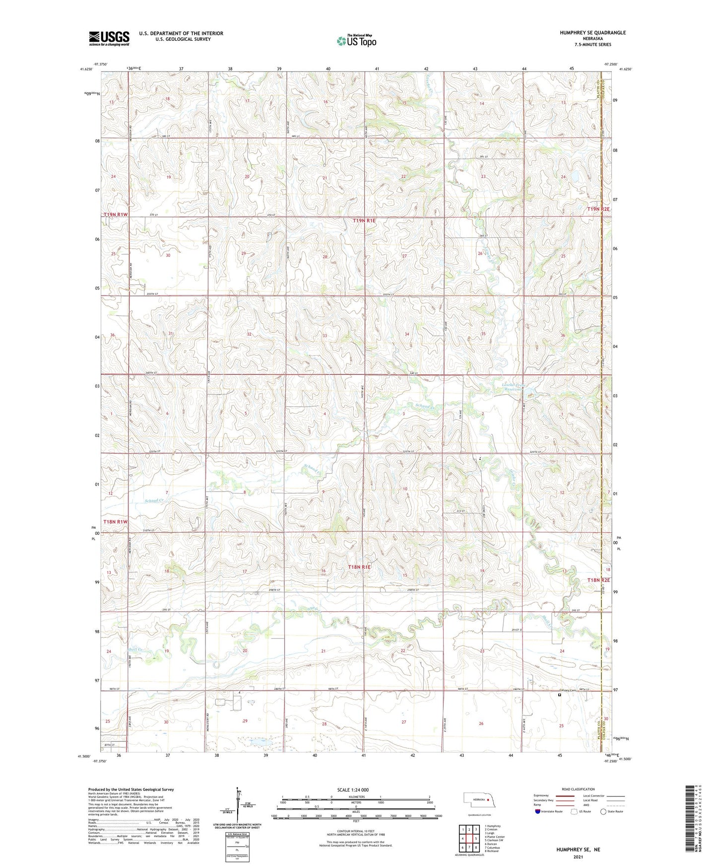
2021 topographic map quadrangle Humphrey SE in the state of Nebraska. Scale: 1:24000. Based on the newly updated USGS 7.5' US Topo map series, this map is in the following counties: Platte, Colfax. The map contains contour data, water features, and other items you are used to seeing on USGS maps, but also has updated roads and other features. This is the next generation of topographic maps. Printed on high-quality waterproof paper with UV fade-resistant inks.
Quads adjacent to this one:
West: Platte Center
Northwest: Humphrey
North: Creston
Northeast: Leigh
East: Clarkson SW
Southeast: Richland
South: Columbus
Southwest: Duncan
This map covers the same area as the classic USGS quad with code o41097e3.
Contains the following named places: Calvary Cemetery, Christ Church, Loseke Creek, Loseke-Frese Dam, Loseke-Frese Reservoir, Saint Johns Church, Schaad Creek, School Number 10, School Number 2, Shell Creek Elementary School, Township of Bismark, Township of Sherman