MyTopo
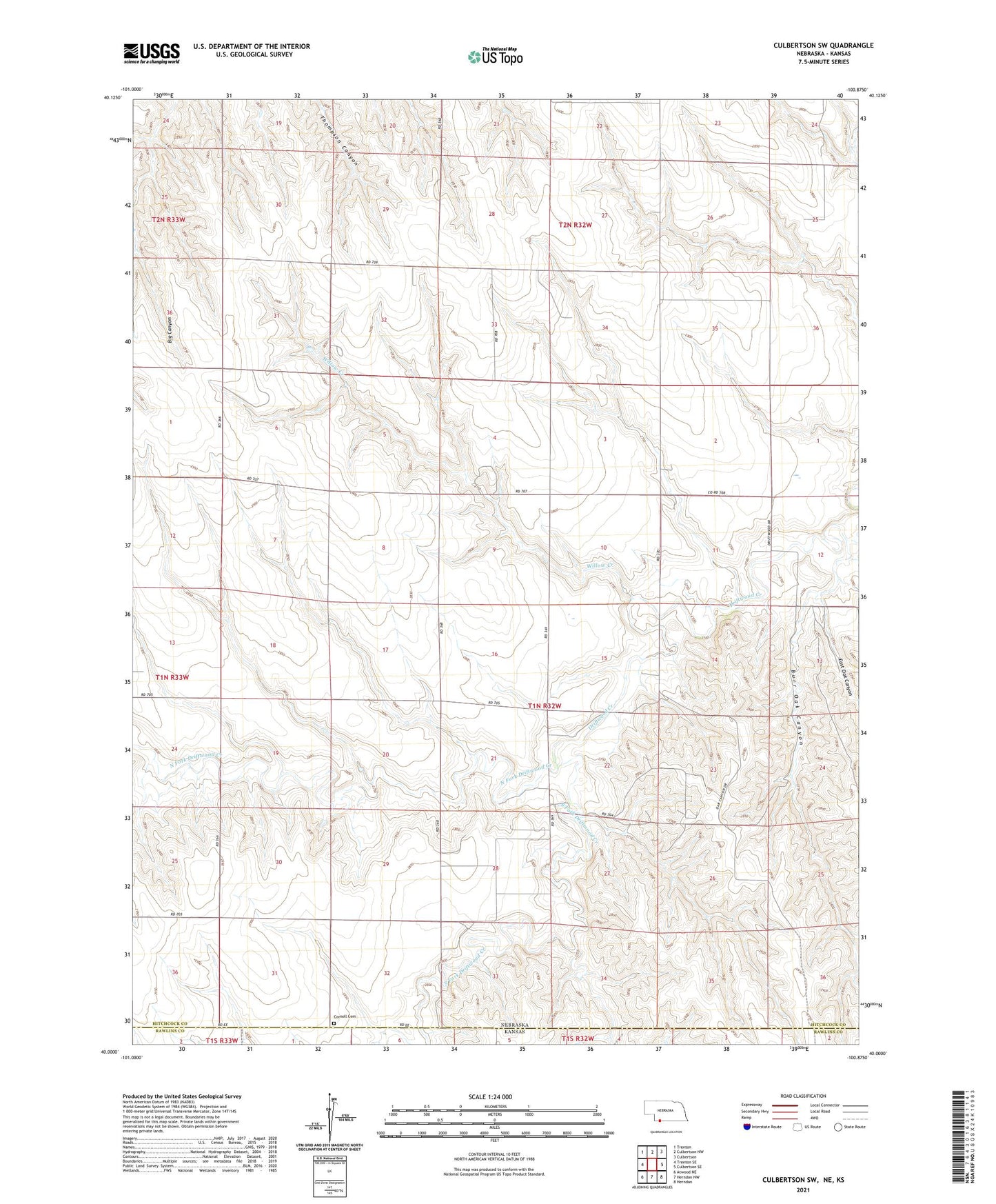
Culbertson SW Nebraska US Topo Map
Couldn't load pickup availability
2021 topographic map quadrangle Culbertson SW in the state of Nebraska. Scale: 1:24000. Based on the newly updated USGS 7.5' US Topo map series, this map is in the following counties: Hitchcock, Rawlins. The map contains contour data, water features, and other items you are used to seeing on USGS maps, but also has updated roads and other features. This is the next generation of topographic maps. Printed on high-quality waterproof paper with UV fade-resistant inks.
Quads adjacent to this one:
West: Trenton SE
Northwest: Trenton
North: Culbertson NW
Northeast: Culbertson
East: Culbertson SE
Southeast: Herndon
South: Herndon NW
Southwest: Atwood NE
This map covers the same area as the classic USGS quad with code o40100a8.
Contains the following named places: Burr Oak Canyon, Cornell, Cornell Cemetery, Cornell Church, Cornell Election Precinct, Cornell Post Office, Cornell School, Dykes School, East Oak Canyon, Fairplains School, North Fork Driftwood Creek, South Fork Driftwood Creek, Township of Cornell, Willow Creek