MyTopo
Danbury NE Nebraska US Topo Map
Couldn't load pickup availability
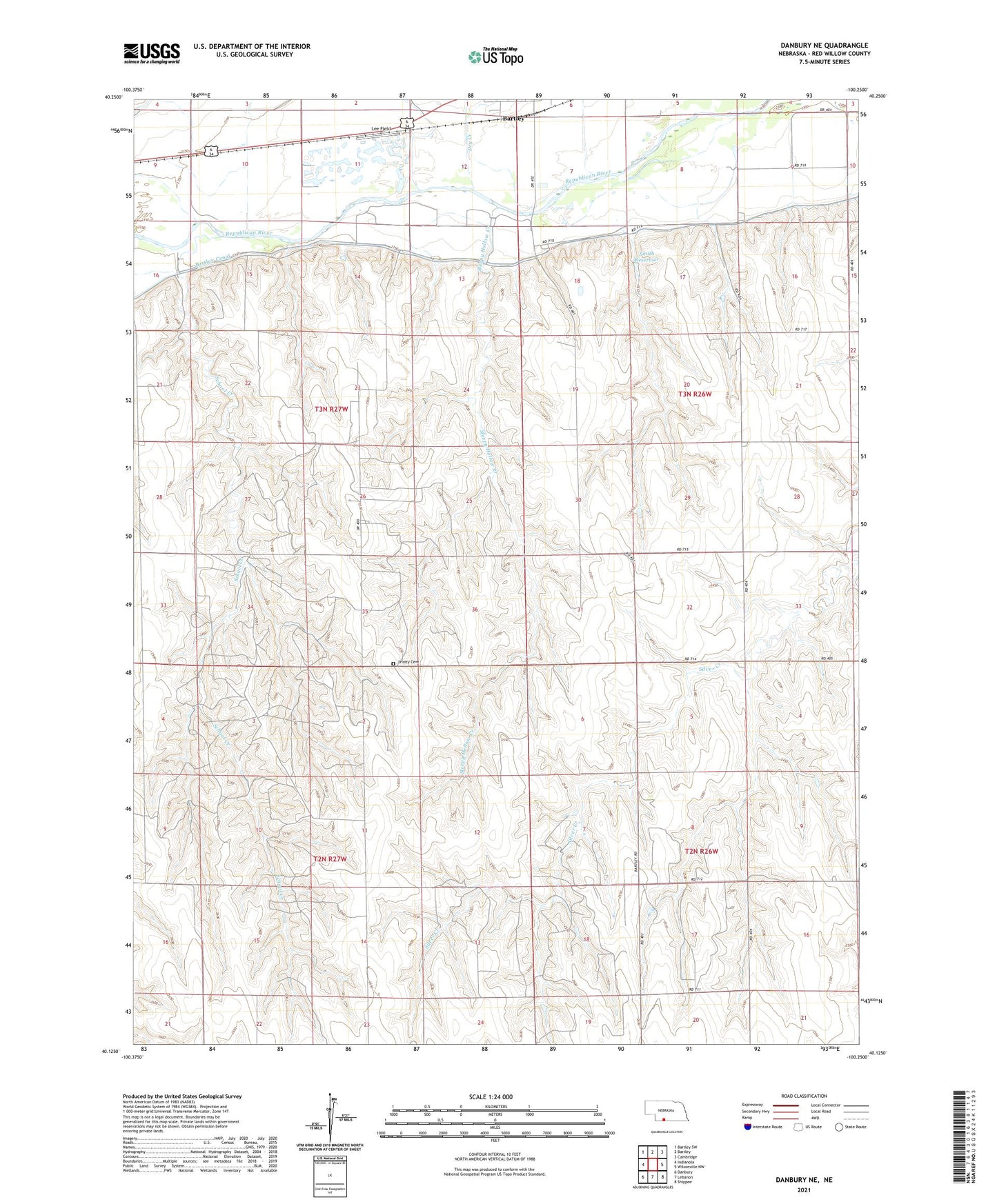
2021 topographic map quadrangle Danbury NE in the state of Nebraska. Scale: 1:24000. Based on the newly updated USGS 7.5' US Topo map series, this map is in the following counties: Red Willow. The map contains contour data, water features, and other items you are used to seeing on USGS maps, but also has updated roads and other features. This is the next generation of topographic maps. Printed on high-quality waterproof paper with UV fade-resistant inks.
Quads adjacent to this one:
West: Indianola
Northwest: Bartley SW
North: Bartley
Northeast: Cambridge
East: Wilsonville NW
Southeast: Shippee
South: Lebanon
Southwest: Danbury
This map covers the same area as the classic USGS quad with code o40100b3.
Contains the following named places: Bartley, Bartley Canal, Berger Creek, Dry Creek, East Valley Election Precinct, Indianola Election Precinct, Lee Field, Missouri Ridge Election Precinct, School Creek, School Creek School, School Number 60, Sleepy Hollow Creek, Smith Dam, Smith Reservoir, Township of Indianola, Trinity Cemetery, Tyrone Election Precinct, Valley Center School, ZIP Code: 69020