MyTopo
Dorsey SW Nebraska US Topo Map
Couldn't load pickup availability
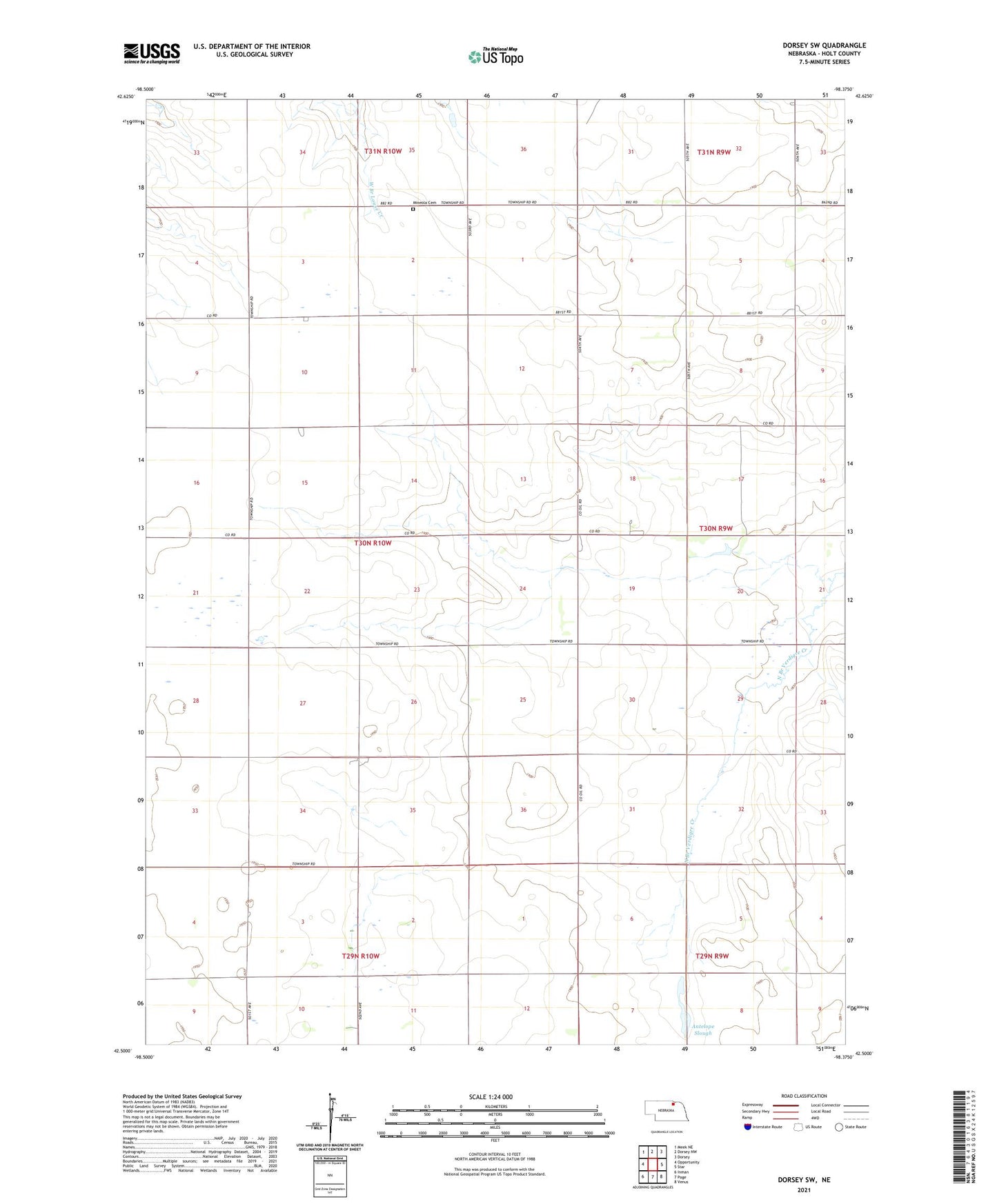
2021 topographic map quadrangle Dorsey SW in the state of Nebraska. Scale: 1:24000. Based on the newly updated USGS 7.5' US Topo map series, this map is in the following counties: Holt. The map contains contour data, water features, and other items you are used to seeing on USGS maps, but also has updated roads and other features. This is the next generation of topographic maps. Printed on high-quality waterproof paper with UV fade-resistant inks.
Quads adjacent to this one:
West: Opportunity
Northwest: Meek NE
North: Dorsey NW
Northeast: Dorsey
East: Star
Southeast: Venus
South: Page
Southwest: Inman
This map covers the same area as the classic USGS quad with code o42098e4.
Contains the following named places: Antelope Slough, Mineola Cemetery, School Number 122, School Number 96, Starview Public School, Township of Willowdale