MyTopo
Star Nebraska US Topo Map
Couldn't load pickup availability
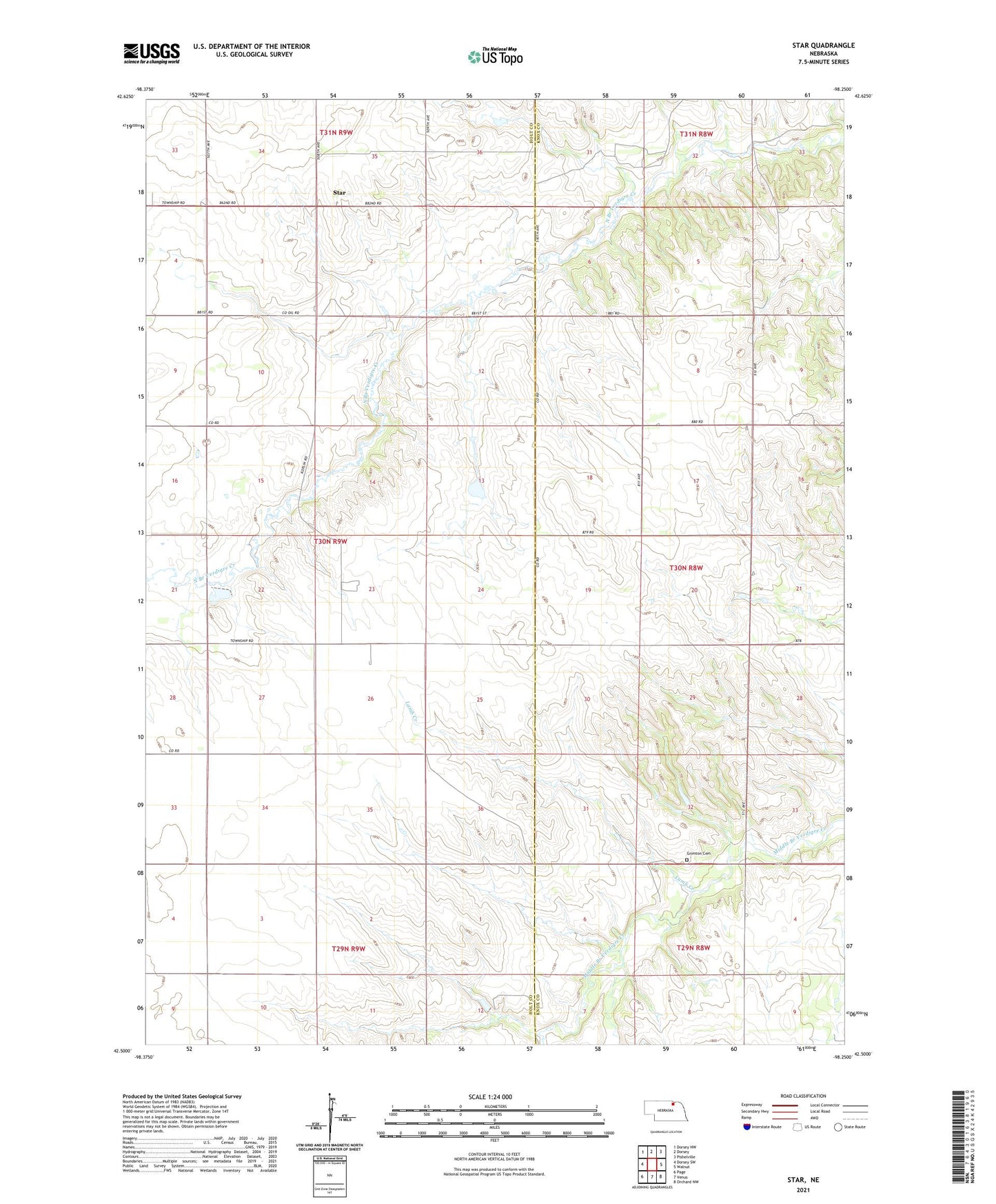
2021 topographic map quadrangle Star in the state of Nebraska. Scale: 1:24000. Based on the newly updated USGS 7.5' US Topo map series, this map is in the following counties: Holt, Knox. The map contains contour data, water features, and other items you are used to seeing on USGS maps, but also has updated roads and other features. This is the next generation of topographic maps. Printed on high-quality waterproof paper with UV fade-resistant inks.
Quads adjacent to this one:
West: Dorsey SW
Northwest: Dorsey NW
North: Dorsey
Northeast: Pishelville
East: Walnut
Southeast: Orchard NW
South: Venus
Southwest: Page
This map covers the same area as the classic USGS quad with code o42098e3.
Contains the following named places: Cedar Corner School, Grimton Cemetery, Grimton School, Lamb Creek, School Number 45, Star, Star Post Office