MyTopo
Dustin Nebraska US Topo Map
Couldn't load pickup availability
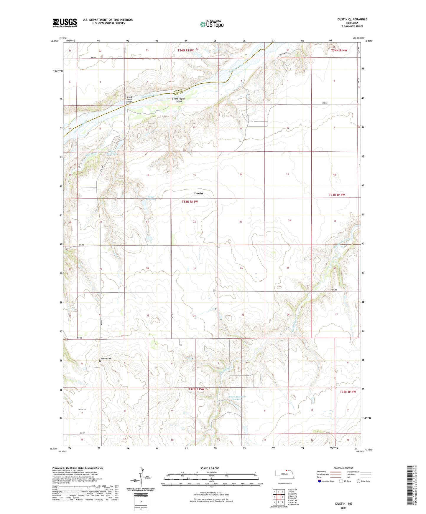
2021 topographic map quadrangle Dustin in the state of Nebraska. Scale: 1:24000. Based on the newly updated USGS 7.5' US Topo map series, this map is in the following counties: Holt, Boyd. The map contains contour data, water features, and other items you are used to seeing on USGS maps, but also has updated roads and other features. This is the next generation of topographic maps. Printed on high-quality waterproof paper with UV fade-resistant inks.
Quads adjacent to this one:
West: Naper SW
Northwest: Naper NW
North: Naper
Northeast: Butte NW
East: Butte SW
Southeast: Atkinson NW
South: Stuart NE
Southwest: Stuart NW
Contains the following named places: Allyn Dam, Allyn Reservoir, Beaver Creek, Brodie School, Cleveland, Cleveland Cemetery, Cleveland Church, Cleveland Post Office, Dustin, Dustin Post Office, Dustin Public School, Grand Rapids Bridge, Grand Rapids Island, Highland School, Pleasant Hill School, School Number 18, Smith Dam Number 1, Smith Reservoir Number 1, Weller Dam, Weller Reservoir, White House Ranch