MyTopo
Naper NW Nebraska US Topo Map
Couldn't load pickup availability
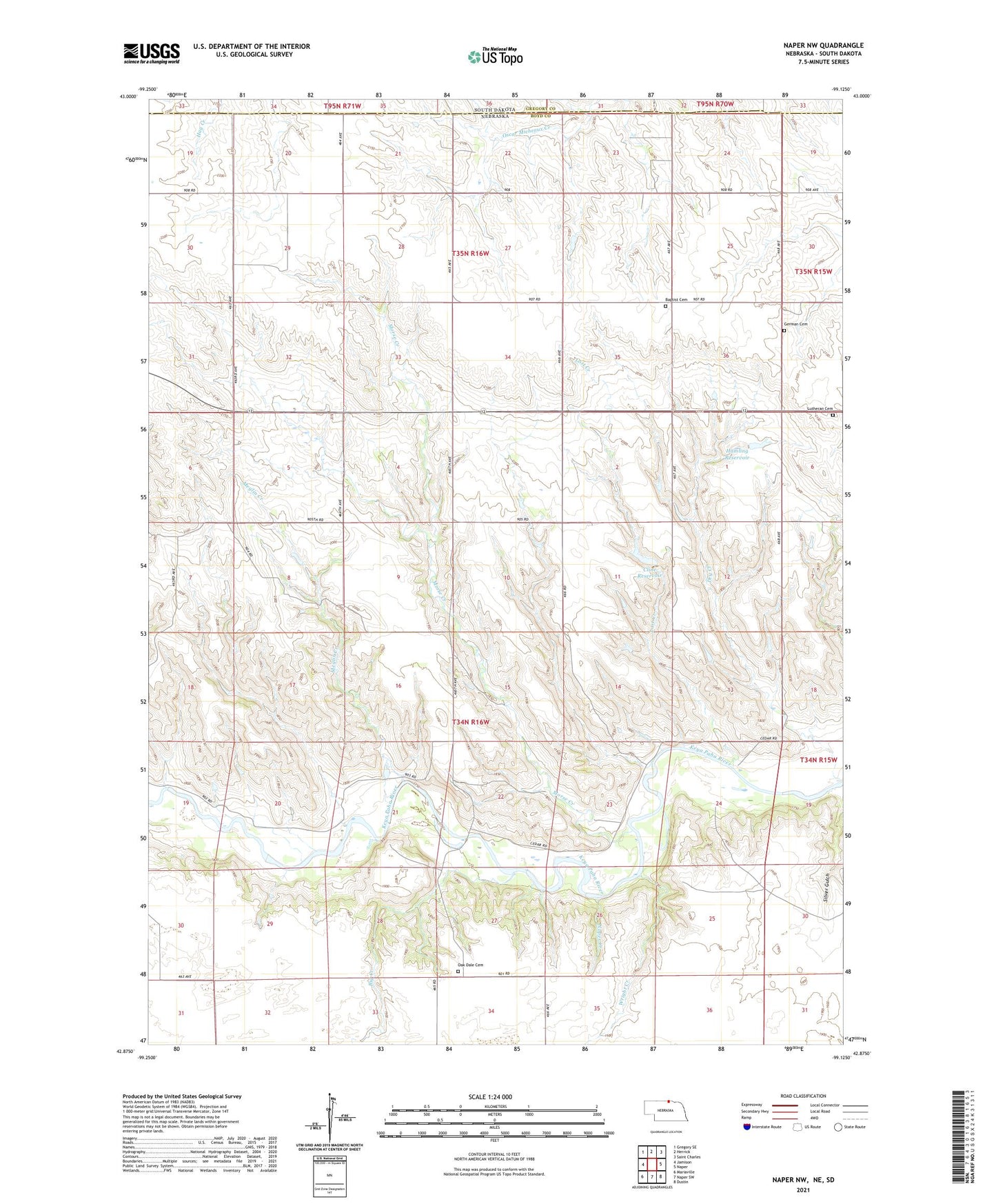
2021 topographic map quadrangle Naper NW in the state of Nebraska. Scale: 1:24000. Based on the newly updated USGS 7.5' US Topo map series, this map is in the following counties: Boyd, Gregory. The map contains contour data, water features, and other items you are used to seeing on USGS maps, but also has updated roads and other features. This is the next generation of topographic maps. Printed on high-quality waterproof paper with UV fade-resistant inks.
Quads adjacent to this one:
West: Jamison
Northwest: Gregory SE
North: Herrick
Northeast: Saint Charles
East: Naper
Southeast: Dustin
South: Naper SW
Southwest: Mariaville
Contains the following named places: Baptist Cemetery, Big Creek, Cline Dam, Cline Reservoir, German Cemetery, Hamling Dam, Hamling Reservoir, Lost Creek, Lutheran Cemetery, Meglin Creek, Morse Creek, Naper Creek, Oak Dale Cemetery, Silver Gulch, Township of Basin, Wright Creek, ZIP Code: 68755