MyTopo
Holstein Nebraska US Topo Map
Couldn't load pickup availability
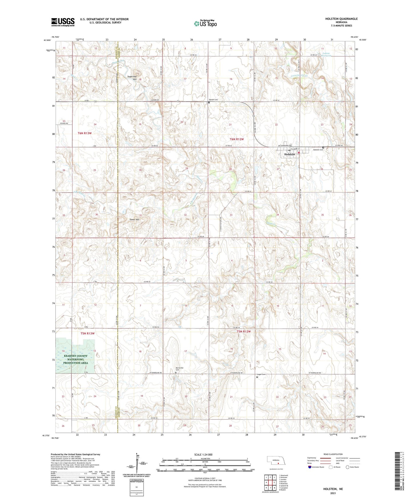
2021 topographic map quadrangle Holstein in the state of Nebraska. Scale: 1:24000. Based on the newly updated USGS 7.5' US Topo map series, this map is in the following counties: Adams, Kearney. The map contains contour data, water features, and other items you are used to seeing on USGS maps, but also has updated roads and other features. This is the next generation of topographic maps. Printed on high-quality waterproof paper with UV fade-resistant inks.
Quads adjacent to this one:
West: Norman
Northwest: Heartwell
North: Kenesaw
Northeast: Juniata
East: Roseland
Southeast: Bladen
South: Campbell
Southwest: Upland SE
Contains the following named places: Danish Cemetery, Grace United Methodist Church, Heartland Co-op Elevator, Holstein, Holstein Cemetery, Holstein Post Office, Holstein Public School, Holstein Rural Fire Department, Jensen Lagoon National Wildlife Mgt Area, Logan Cemetery, Lukow Dam, Lukow Reservoir, Morseville Cemetery, Saint Paul Lutheran Church, South Branch Sand Creek, Sugarloaf Hill, Tower Hill, Township of Cottonwood, Township of Logan, Village of Holstein, ZIP Code: 68950