MyTopo
Hulbert Lake Nebraska US Topo Map
Couldn't load pickup availability
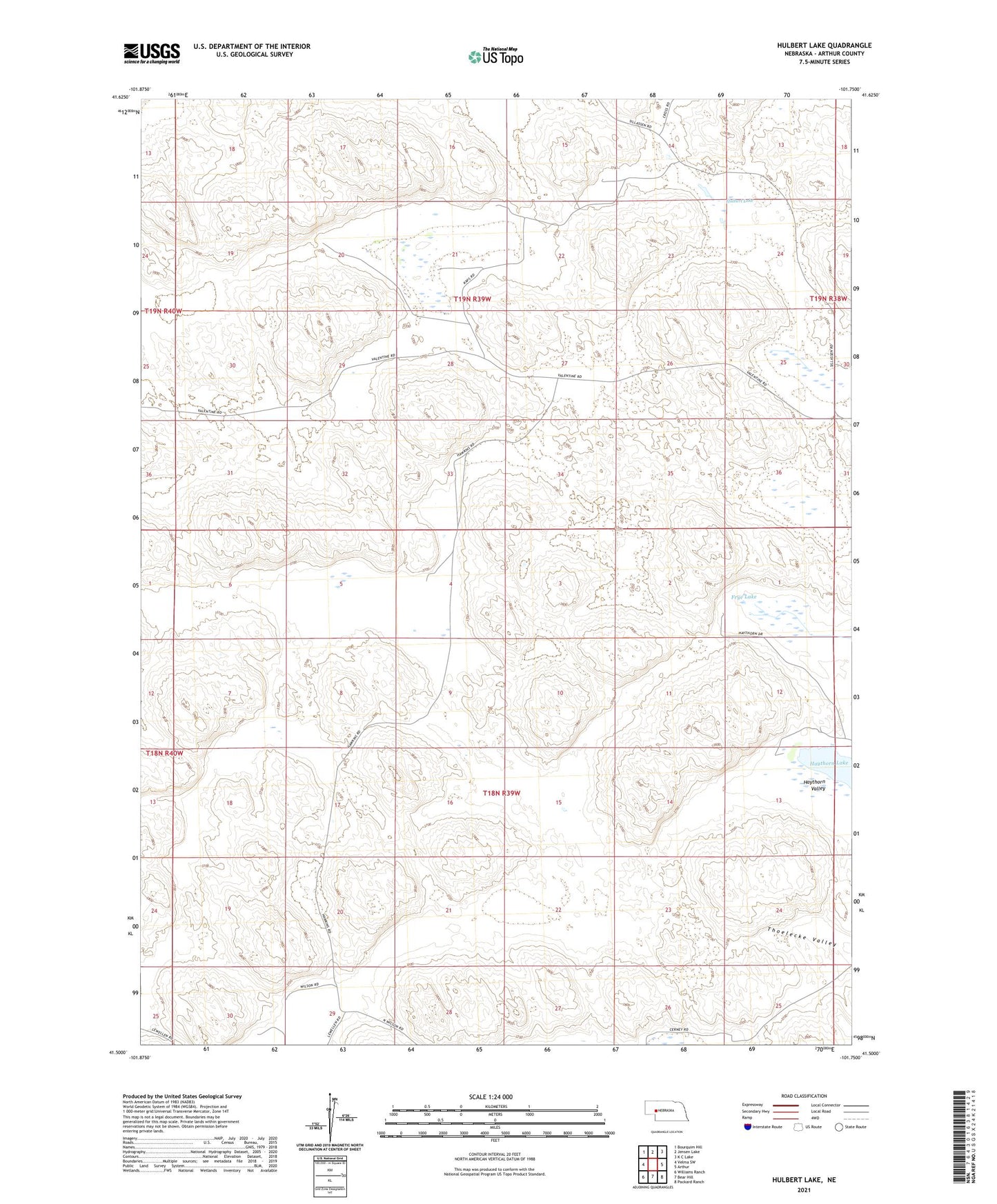
2021 topographic map quadrangle Hulbert Lake in the state of Nebraska. Scale: 1:24000. Based on the newly updated USGS 7.5' US Topo map series, this map is in the following counties: Arthur. The map contains contour data, water features, and other items you are used to seeing on USGS maps, but also has updated roads and other features. This is the next generation of topographic maps. Printed on high-quality waterproof paper with UV fade-resistant inks.
Quads adjacent to this one:
West: Velma SW
Northwest: Bourquim Hill
North: Jensen Lake
Northeast: K C Lake
East: Arthur
Southeast: Packard Ranch
South: Bear Hill
Southwest: Williams Ranch
This map covers the same area as the classic USGS quad with code o41101e7.
Contains the following named places: Cross Ranch, Frye Lake, Frye Ranch, H Orr Ranch, Hartman Ranch, Hawkins Ranch, Hawkins Ranch Airport, Hawkins South Ranch, Haythorn Lake, Haythorn Ranch, Haythorn Valley, Hulbert Lake, Johnson Ranch, Kaps Ranch, Peterson Ranch, Porter Place, Rasmussen Place, Schneede Ranch, School Number 1, School Number 7, Spencer Ranch, Wilson Ranch