MyTopo
McCarty Lake Nebraska US Topo Map
Couldn't load pickup availability
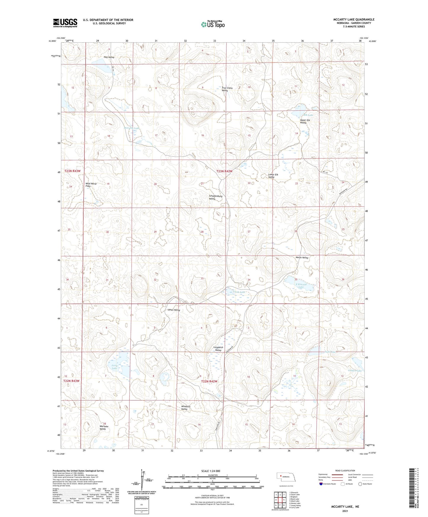
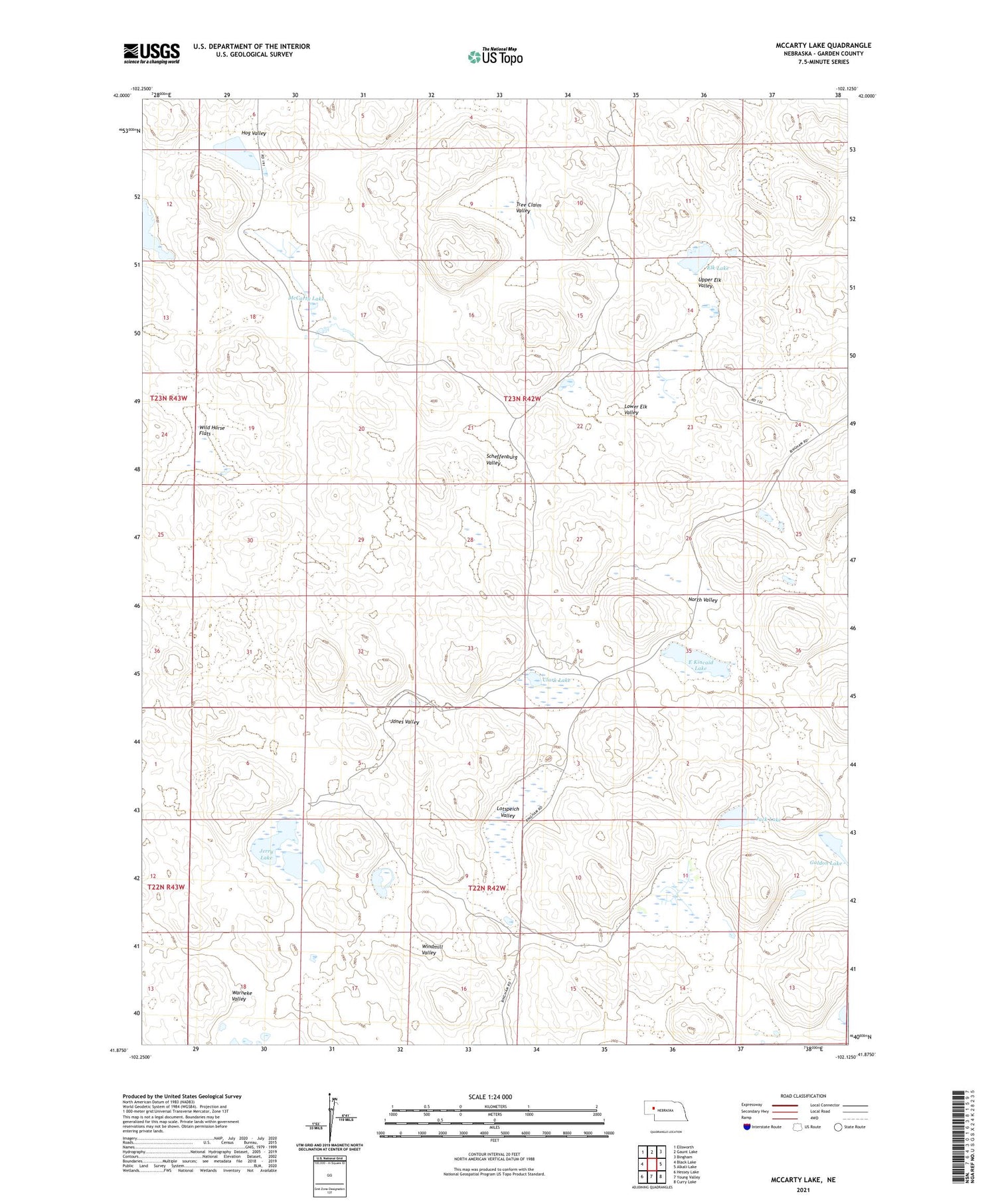
2021 topographic map quadrangle McCarty Lake in the state of Nebraska. Scale: 1:24000. Based on the newly updated USGS 7.5' US Topo map series, this map is in the following counties: Garden. The map contains contour data, water features, and other items you are used to seeing on USGS maps, but also has updated roads and other features. This is the next generation of topographic maps. Printed on high-quality waterproof paper with UV fade-resistant inks.
Quads adjacent to this one:
West: Black Lake
Northwest: Ellsworth
North: Gaunt Lake
Northeast: Bingham
East: Alkali Lake
Southeast: Curry Lake
South: Young Valley
Southwest: Hessey Lake
Contains the following named places: Clark Lake, E Kincaid Lake, Elk Lake, Galdon Lake, H Lotspeich Lake, Hog Valley, Jack Lake, Jerry Lake, Jones Valley, Lotspeich Valley, Lower Elk Valley, McCarty Lake, North Valley, Scheffenburg Valley, School Number 18, School Number 22, Tree Claim Valley, Upper Elk Valley, Wild Horse Flats, Windmill Valley