MyTopo
Peter Long Lake Nebraska US Topo Map
Couldn't load pickup availability
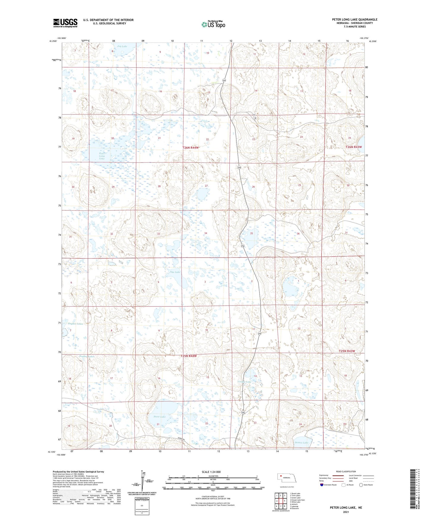
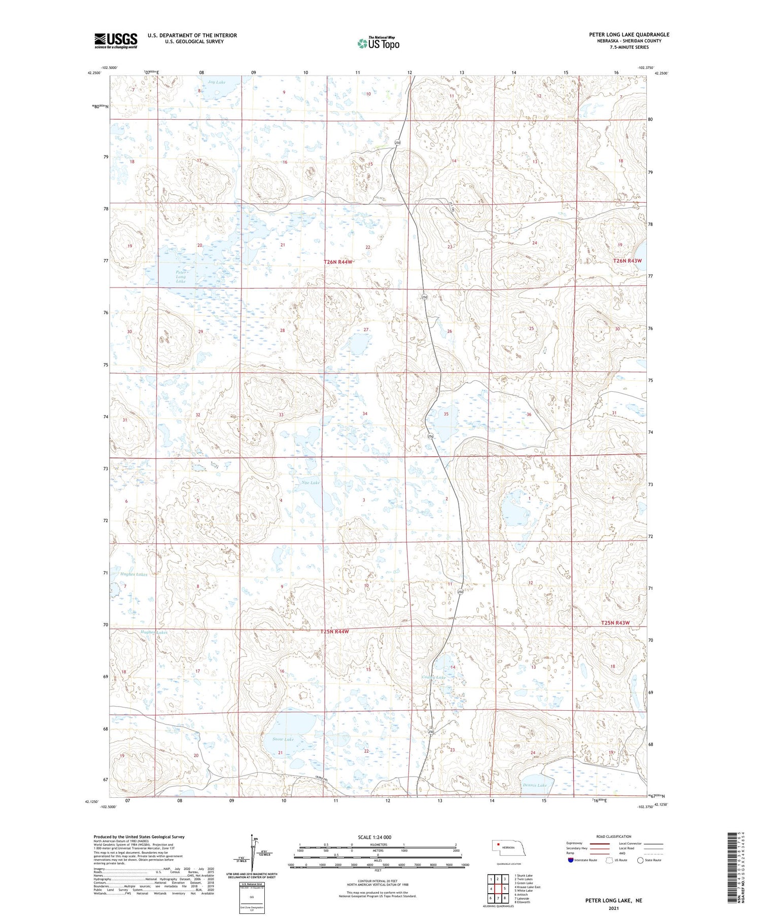
2021 topographic map quadrangle Peter Long Lake in the state of Nebraska. Scale: 1:24000. Based on the newly updated USGS 7.5' US Topo map series, this map is in the following counties: Sheridan. The map contains contour data, water features, and other items you are used to seeing on USGS maps, but also has updated roads and other features. This is the next generation of topographic maps. Printed on high-quality waterproof paper with UV fade-resistant inks.
Quads adjacent to this one:
West: Krause Lake East
Northwest: Skunk Lake
North: Twin Lakes
Northeast: Green Lake
East: White Lake
Southeast: Ellsworth
South: Lakeside
Southwest: Antioch
Contains the following named places: Arapahoe Ranch, Cody Ranch, Conley Lake, Dennis Lake, Hughes Lakes, John Cody Ranch, Joy Ranch, Nye Lake, Panhandle Ranch, Peter Long Lake, Potmesil Lake, Snow Lake