MyTopo
Twin Lakes Nebraska US Topo Map
Couldn't load pickup availability
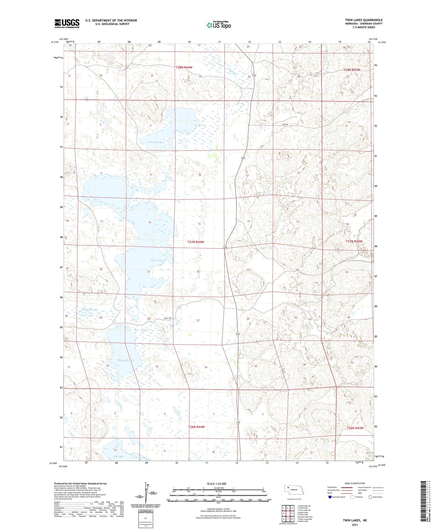
2021 topographic map quadrangle Twin Lakes in the state of Nebraska. Scale: 1:24000. Based on the newly updated USGS 7.5' US Topo map series, this map is in the following counties: Sheridan. The map contains contour data, water features, and other items you are used to seeing on USGS maps, but also has updated roads and other features. This is the next generation of topographic maps. Printed on high-quality waterproof paper with UV fade-resistant inks.
Quads adjacent to this one:
West: Skunk Lake
Northwest: Skunk Lake NE
North: Smith Lake
Northeast: Twin Lakes NE
East: Green Lake
Southeast: White Lake
South: Peter Long Lake
Southwest: Krause Lake East
This map covers the same area as the classic USGS quad with code o42102c4.
Contains the following named places: Albrecht Lake, Cravath Lake, Diamond Lake, Hooper Ranch, Joy Lake, North School Number 165, Pine Creek Election Precinct, School Number 127, South School Number 165, Speer Ranch, Twin Lakes