MyTopo
Pleasant Dale Nebraska US Topo Map
Couldn't load pickup availability
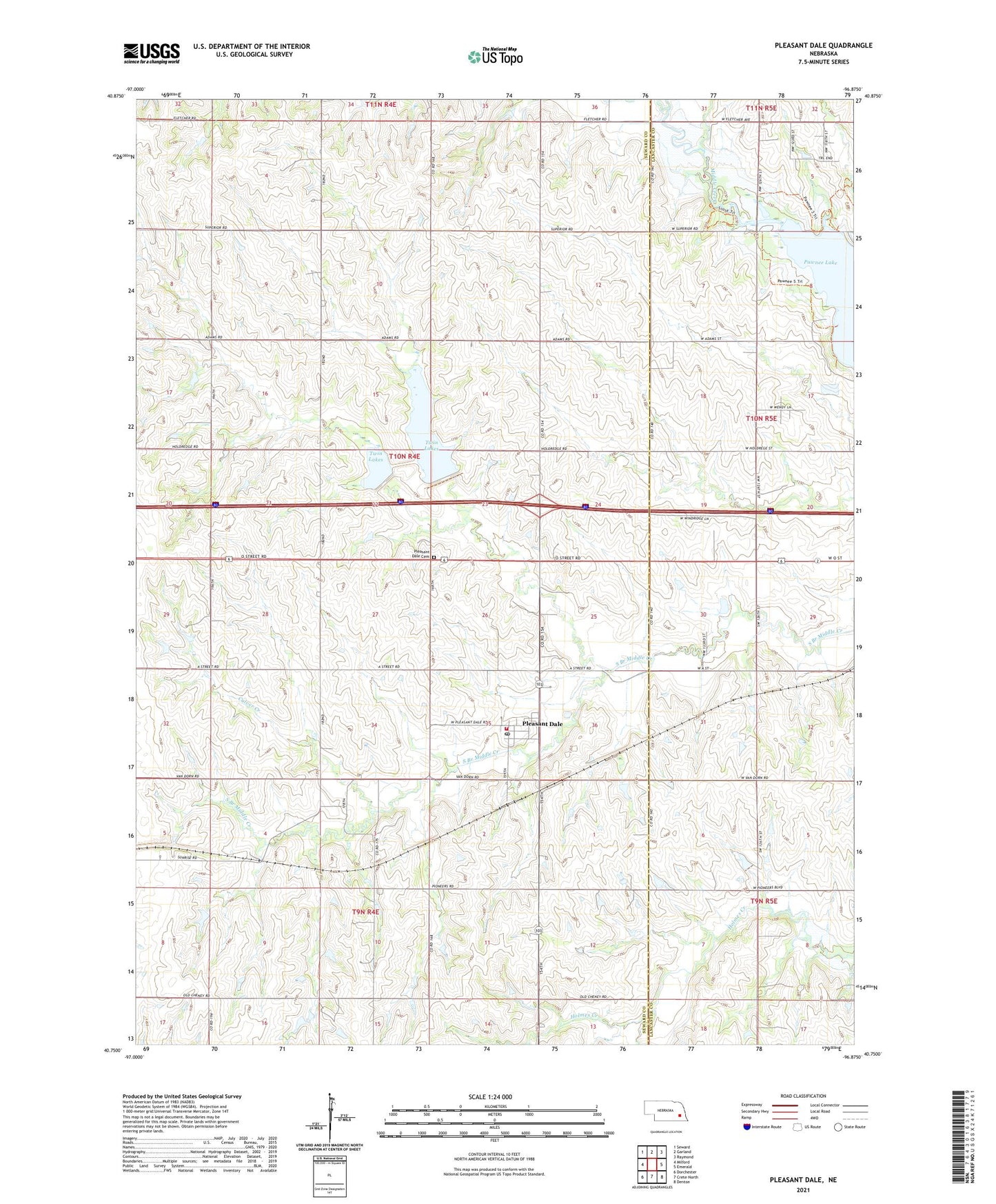
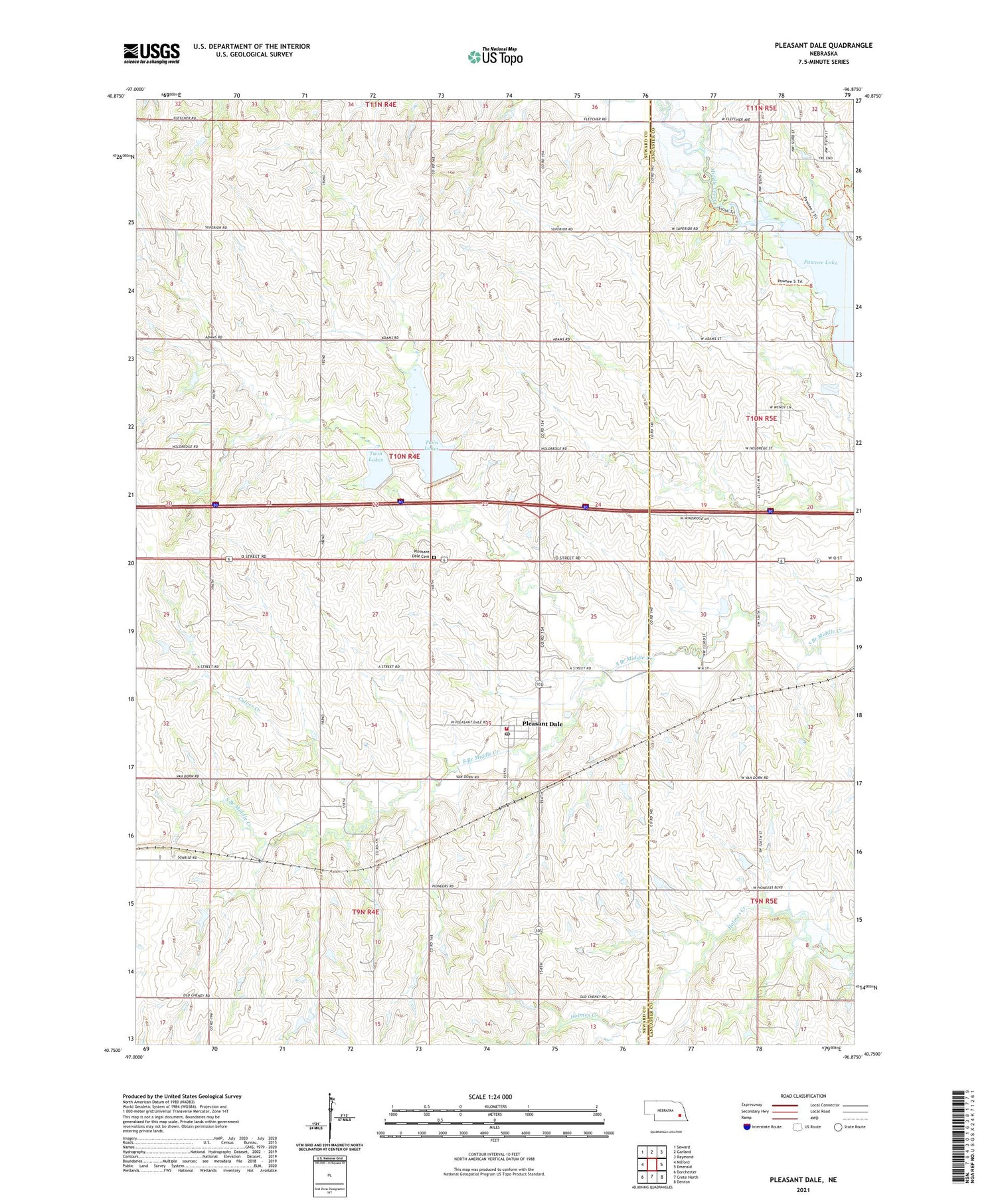
2021 topographic map quadrangle Pleasant Dale in the state of Nebraska. Scale: 1:24000. Based on the newly updated USGS 7.5' US Topo map series, this map is in the following counties: Seward, Lancaster. The map contains contour data, water features, and other items you are used to seeing on USGS maps, but also has updated roads and other features. This is the next generation of topographic maps. Printed on high-quality waterproof paper with UV fade-resistant inks.
Quads adjacent to this one:
West: Milford
Northwest: Seward
North: Garland
Northeast: Raymond
East: Emerald
Southeast: Denton
South: Crete North
Southwest: Dorchester
Contains the following named places: Area Three Campground, Bethlehem Lutheran Church, Burd School, Culver Creek, Election Precinct I, Lake View Campground, Maple Grove School, Middle Creek Public School, Pleasant Dale, Pleasant Dale Cemetery, Pleasant Dale Elementary School, Pleasant Dale Post Office, Pleasant Dale Volunteer Fire Department, Township I, Twin Lakes, Twin Lakes Camp-N-Shop, Twin Lakes Dam-Site 13 Dam, Twin Lakes State Wildlife Management Area, Village of Pleasant Dale, Zion Church, ZIP Code: 68423