MyTopo
Rackett Nebraska US Topo Map
Couldn't load pickup availability
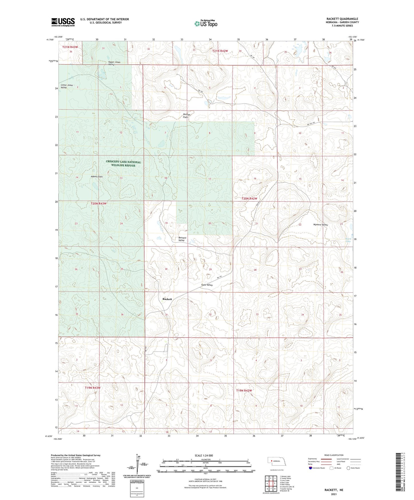
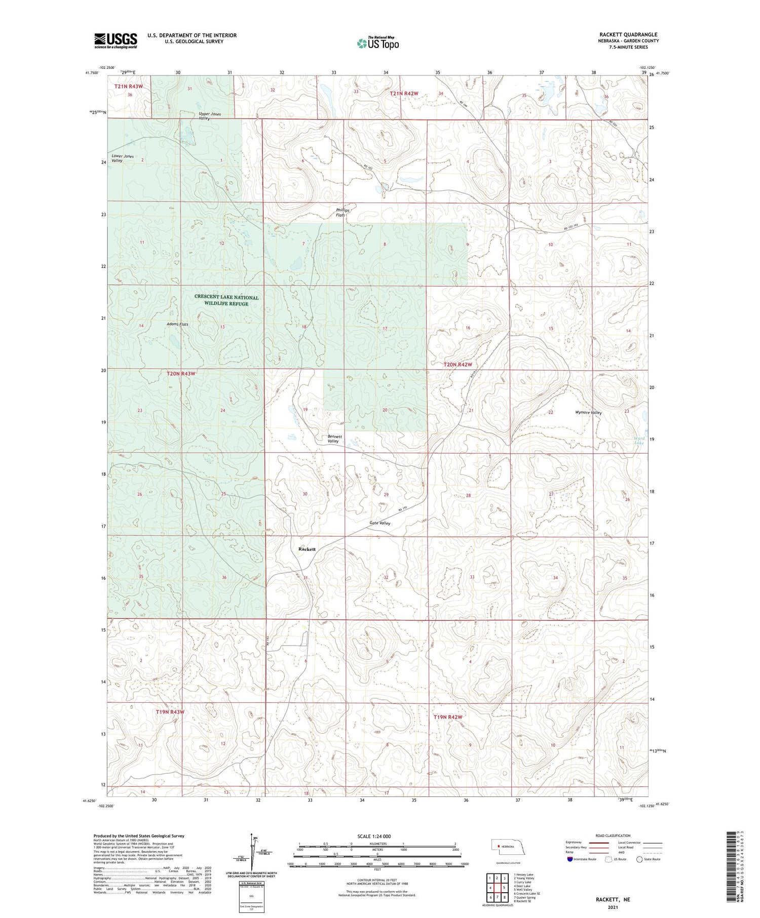
2021 topographic map quadrangle Rackett in the state of Nebraska. Scale: 1:24000. Based on the newly updated USGS 7.5' US Topo map series, this map is in the following counties: Garden. The map contains contour data, water features, and other items you are used to seeing on USGS maps, but also has updated roads and other features. This is the next generation of topographic maps. Printed on high-quality waterproof paper with UV fade-resistant inks.
Quads adjacent to this one:
West: Deer Lake
Northwest: Hessey Lake
North: Young Valley
Northeast: Curry Lake
East: Well Valley
Southeast: Rackett SE
South: Gusher Spring
Southwest: Crescent Lake SE
Contains the following named places: Adams Flats, Bennett Valley, Gate Valley, Grace Ranch, Jensen Ranch, Phillips Flats, Rackett, Rackett Church, Rackett Post Office, School Number 12, South School Number 71, Upper Jones Valley, Ward Lake, Well Valley School, Wymore Valley