MyTopo
Red Cloud NW Nebraska US Topo Map
Couldn't load pickup availability
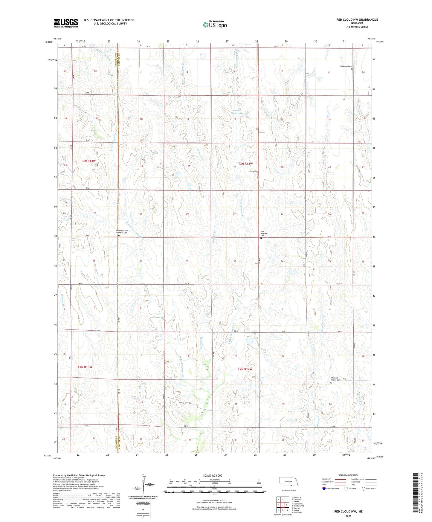
2021 topographic map quadrangle Red Cloud NW in the state of Nebraska. Scale: 1:24000. Based on the newly updated USGS 7.5' US Topo map series, this map is in the following counties: Webster, Franklin. The map contains contour data, water features, and other items you are used to seeing on USGS maps, but also has updated roads and other features. This is the next generation of topographic maps. Printed on high-quality waterproof paper with UV fade-resistant inks.
Quads adjacent to this one:
West: Franklin NE
Northwest: Upland SE
North: Campbell
Northeast: Bladen
East: Red Cloud NE
Southeast: Red Cloud
South: Inavale
Southwest: Riverton
Contains the following named places: Bartell Dam, Bartell Reservoir, Catherton Cemetery, East Fork Farmers Creek, Inavale Election Precinct, New Virginia Cemetery, New Virginia Church, Norwegian Zion Lutheran Cemetery, Pleasant Prairie Cemetery, West Fork Farmers Creek