MyTopo
Richardson Lake Nebraska US Topo Map
Couldn't load pickup availability
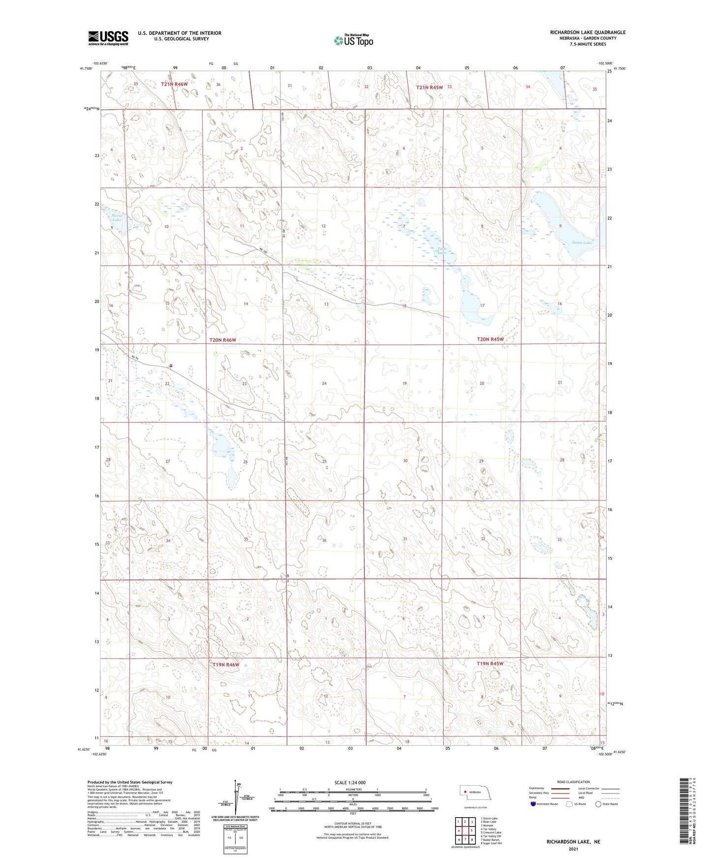
2021 topographic map quadrangle Richardson Lake in the state of Nebraska. Scale: 1:24000. Based on the newly updated USGS 7.5' US Topo map series, this map is in the following counties: Garden. The map contains contour data, water features, and other items you are used to seeing on USGS maps, but also has updated roads and other features. This is the next generation of topographic maps. Printed on high-quality waterproof paper with UV fade-resistant inks.
Quads adjacent to this one:
West: Tar Valley
Northwest: Storm Lake
North: Bean Lake
Northeast: Mumper
East: Crescent Lake
Southeast: Sugar Loaf Hill
South: Buske Ranch
Southwest: Tar Valley SW
This map covers the same area as the classic USGS quad with code o41102f5.
Contains the following named places: Garden County Rural Fire District Mcginley Ranch, Horse Lake, Lisco Election Precinct, Lower Harrison Lake, McGinley Ranch, Richardson Lake, Richstein Run, Twin Lake