MyTopo
Mumper Nebraska US Topo Map
Couldn't load pickup availability
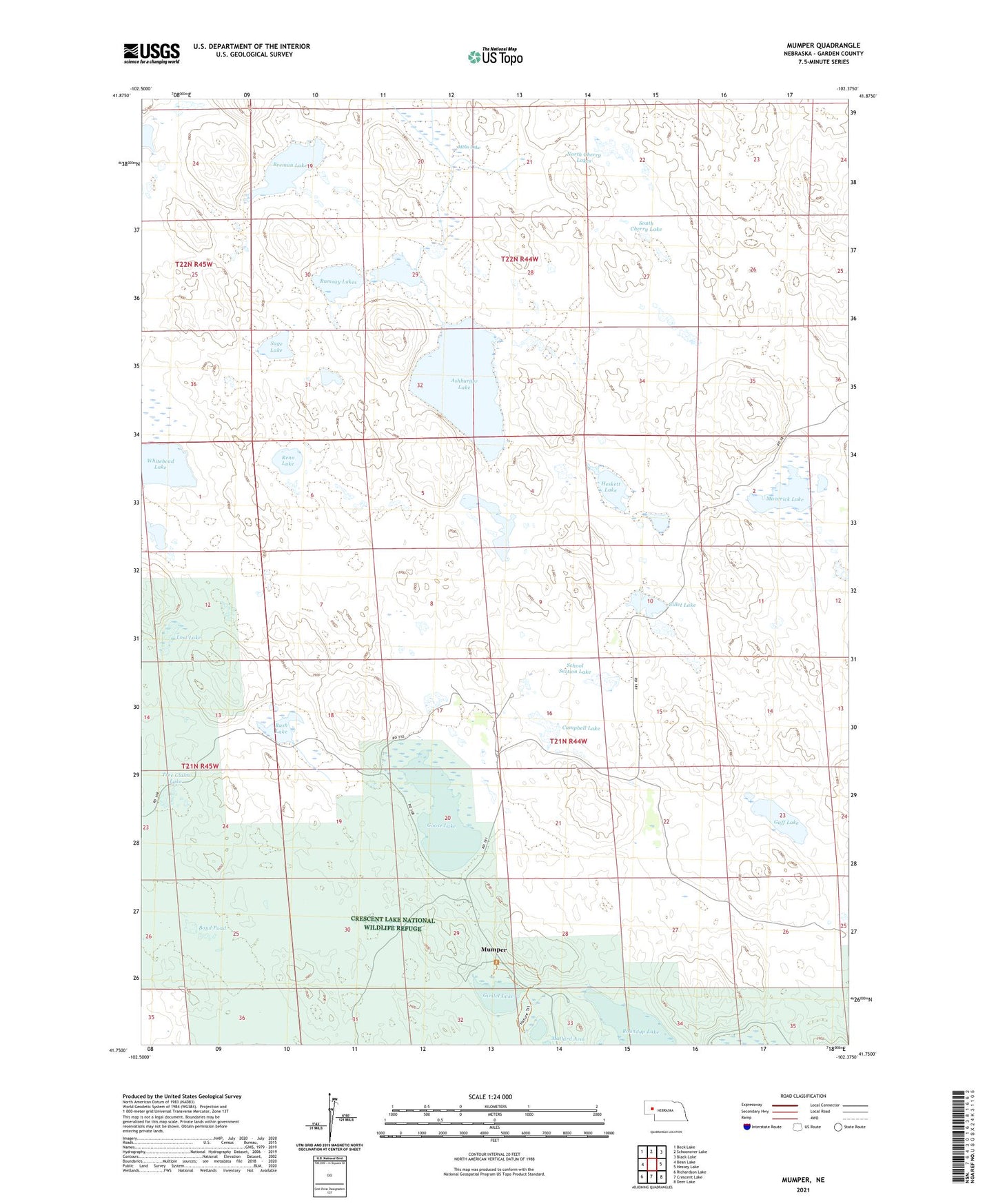
2021 topographic map quadrangle Mumper in the state of Nebraska. Scale: 1:24000. Based on the newly updated USGS 7.5' US Topo map series, this map is in the following counties: Garden. The map contains contour data, water features, and other items you are used to seeing on USGS maps, but also has updated roads and other features. This is the next generation of topographic maps. Printed on high-quality waterproof paper with UV fade-resistant inks.
Quads adjacent to this one:
West: Bean Lake
Northwest: Beck Lake
North: Schoonover Lake
Northeast: Black Lake
East: Hessey Lake
Southeast: Deer Lake
South: Crescent Lake
Southwest: Richardson Lake
This map covers the same area as the classic USGS quad with code o41102g4.
Contains the following named places: Ashburger Lake, Boyd Pond, Breman Lake, Campbell Lake, Crescent Lake National Wildlife Refuge, Four D Ranch, Gaff Lake, Gillet Lake, Gimlet Lake, Goose Lake, Heskett Lake, Lookout Tower Number 1, Lost Lake, Madison Lake, Maverick Lake, Melis Lake, Mumper, Mumper Post Office, North Cherry Lakes, Ramsay Lakes, Reno Lake, Roundup Lake, Rush Lake, Sage Lake, School Number 60, School Section Lake, South Cherry Lake, Tree Claim Lake