
MyTopo
Riverview Nebraska US Topo Map
Couldn't load pickup availability
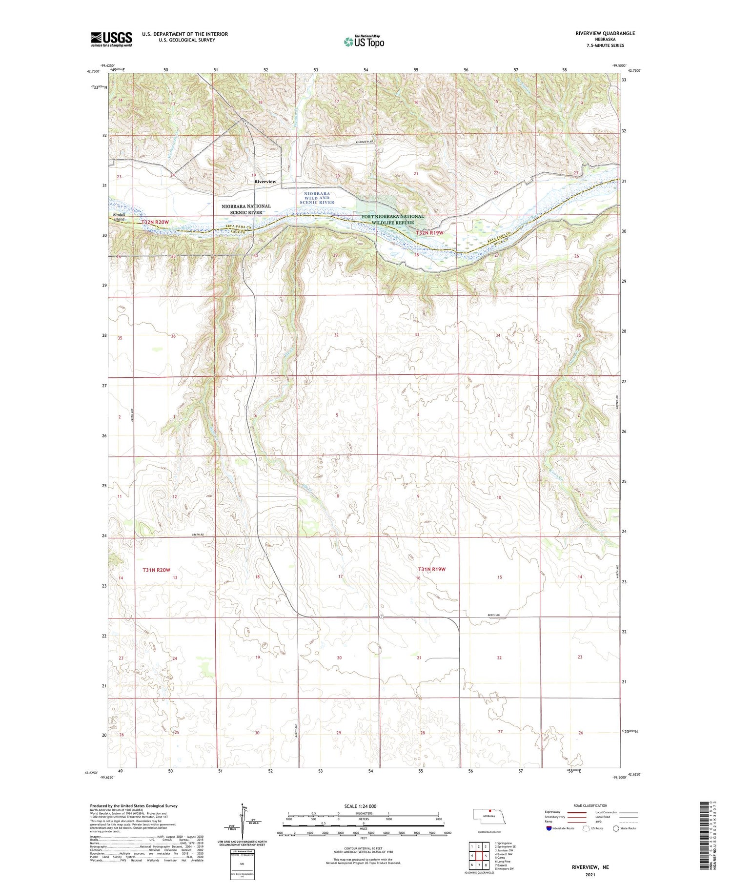
2021 topographic map quadrangle Riverview in the state of Nebraska. Scale: 1:24000. Based on the newly updated USGS 7.5' US Topo map series, this map is in the following counties: Rock, Keya Paha. The map contains contour data, water features, and other items you are used to seeing on USGS maps, but also has updated roads and other features. This is the next generation of topographic maps. Printed on high-quality waterproof paper with UV fade-resistant inks.
Quads adjacent to this one:
West: Bassett NW
Northwest: Springview
North: Springview SE
Northeast: Jamison SW
East: Carns
Southeast: Newport SW
South: Bassett
Southwest: Long Pine
Contains the following named places: Elk Creek, Kindall Island, Lamb School, Riverview, Riverview Post Office, Sand Creek, School Number 61, School Number 62, Tarbell Creek, Wentworth Creek, Wyman Creek


