MyTopo
South of Gordon Nebraska US Topo Map
Couldn't load pickup availability
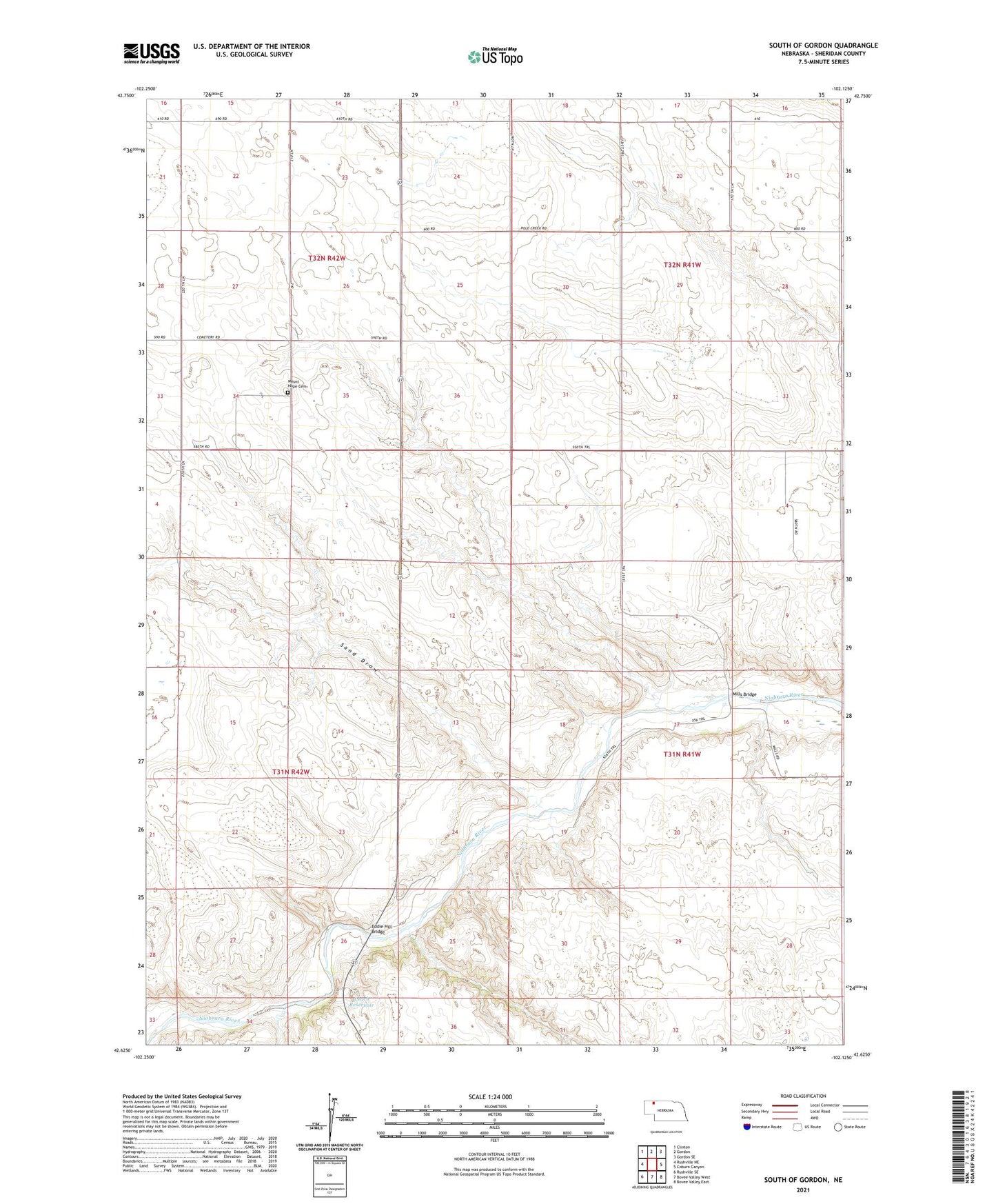
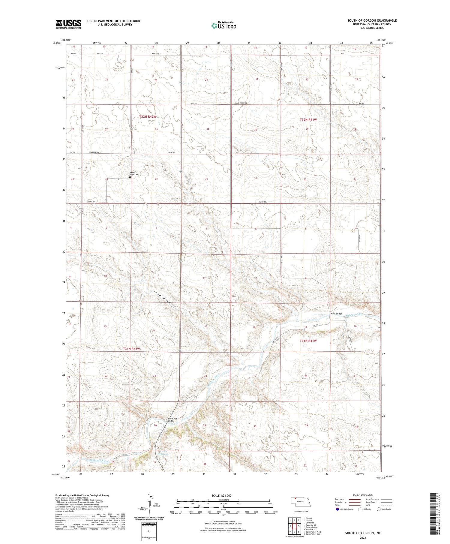
2021 topographic map quadrangle South of Gordon in the state of Nebraska. Scale: 1:24000. Based on the newly updated USGS 7.5' US Topo map series, this map is in the following counties: Sheridan. The map contains contour data, water features, and other items you are used to seeing on USGS maps, but also has updated roads and other features. This is the next generation of topographic maps. Printed on high-quality waterproof paper with UV fade-resistant inks.
Quads adjacent to this one:
West: Rushville NE
Northwest: Clinton
North: Gordon
Northeast: Gordon SE
East: Coburn Canyon
Southeast: Bovee Valley East
South: Bovee Valley West
Southwest: Rushville SE
This map covers the same area as the classic USGS quad with code o42102f2.
Contains the following named places: East Gordon Election Precinct, Eddie Hill Bridge, Leach Dam, Leach Reservoir, Mills Bridge, Mount Hope Cemetery, Mount Hope School, Prairie Flats School, Sand Draw, Valley Union School, West Gordon Election Precinct