MyTopo
Gordon Nebraska US Topo Map
Couldn't load pickup availability
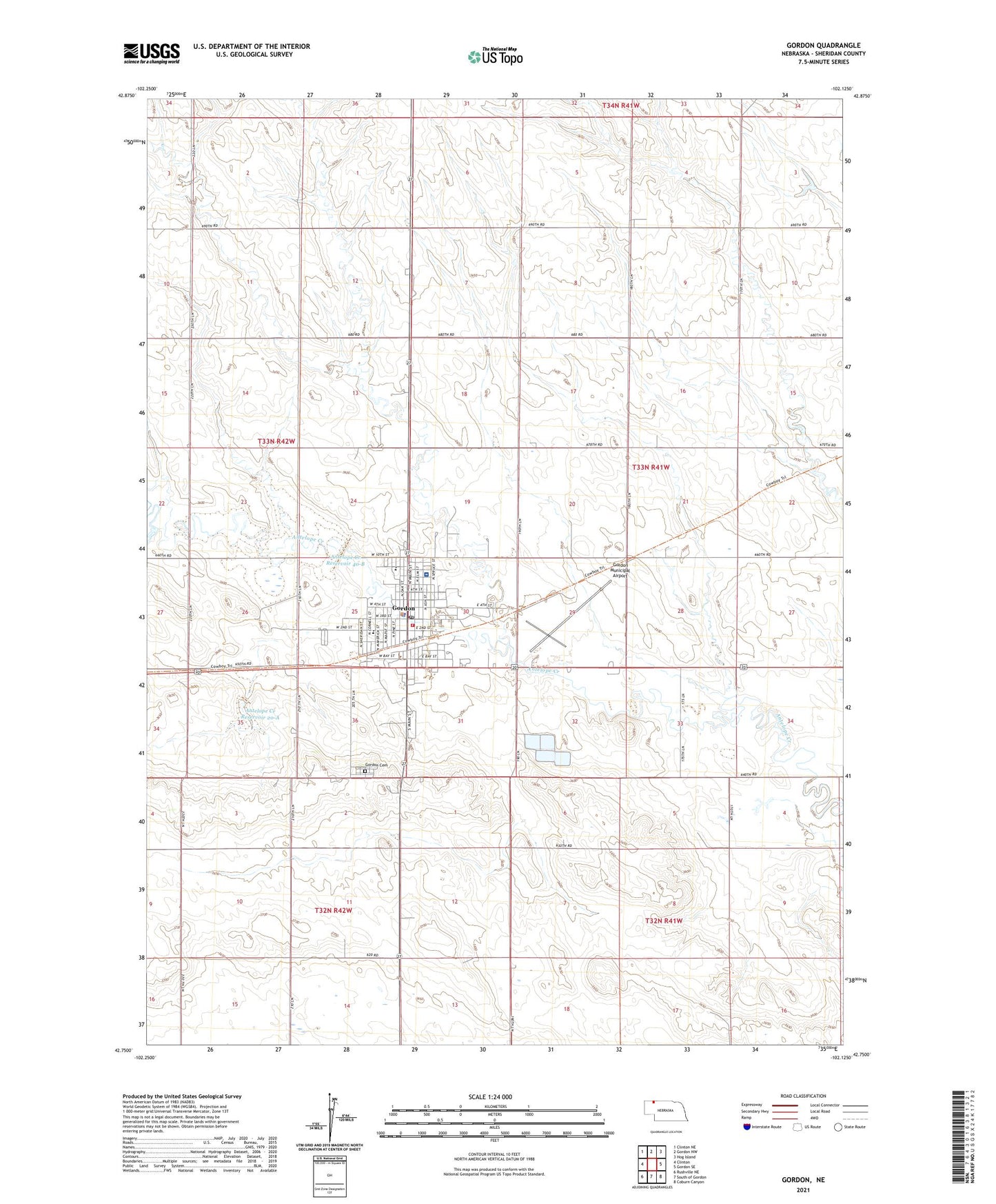
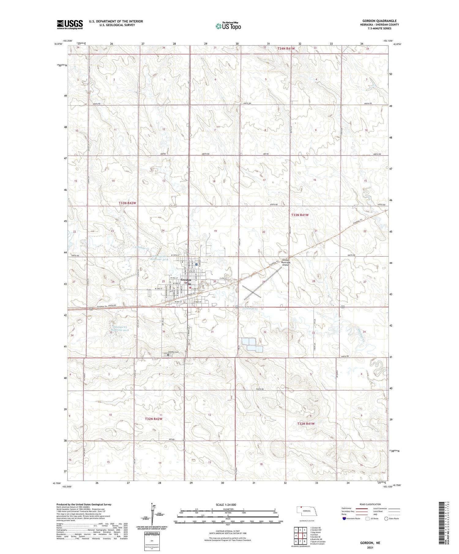
2021 topographic map quadrangle Gordon in the state of Nebraska. Scale: 1:24000. Based on the newly updated USGS 7.5' US Topo map series, this map is in the following counties: Sheridan. The map contains contour data, water features, and other items you are used to seeing on USGS maps, but also has updated roads and other features. This is the next generation of topographic maps. Printed on high-quality waterproof paper with UV fade-resistant inks.
Quads adjacent to this one:
West: Clinton
Northwest: Clinton NE
North: Gordon NW
Northeast: Hog Island
East: Gordon SE
Southeast: Coburn Canyon
South: South of Gordon
Southwest: Rushville NE
This map covers the same area as the classic USGS quad with code o42102g2.
Contains the following named places: Antelope Creek Dam 20-A, Antelope Creek Dam 40-B, Antelope Creek Reservoir 20-A, Antelope Creek Reservoir 40-B, Church of God, City of Gordon, Clark Trailer Court, Cowboy Museum, Farmers Co-op Elevator Company Elevator, Gordon, Gordon Bible Church, Gordon Cemetery, Gordon City Library, Gordon Clinic, Gordon Country Club, Gordon Countryside Care, Gordon Elementary School, Gordon Fire Department and Rescue Squad, Gordon Good Samaritan Center, Gordon High School, Gordon Junior High School, Gordon Memorial Hospital, Gordon Municipal Airport, Gordon Police Department, Gordon Post Office, Gordon Volunteer Fire Department, Gordon Volunteer Rescue Squad, Grace Lutheran Church, Hamilton Park Campground, Kellers Trailer Court, Kingdom Hall of Jehovahs Witnesses, Mount Pleasant School, Otis Motel and Trailer Court, Panhandle Surgical Clinic, Presbyterian Church, Saint Leo Catholic Church, Saint Marks Episcopal Church, Scamahorn Museum, Seventh Day Adventist Church, Shedeeds Trailer Court, Sheridan County Fairgrounds, The Church of Jesus Christ of Latter Day Saints, Tomahawk Park Campground, United Methodist Church, Wayland Park, Webster Dam, Wesleyan Gospel Chapel


