MyTopo
Sumner Nebraska US Topo Map
Couldn't load pickup availability
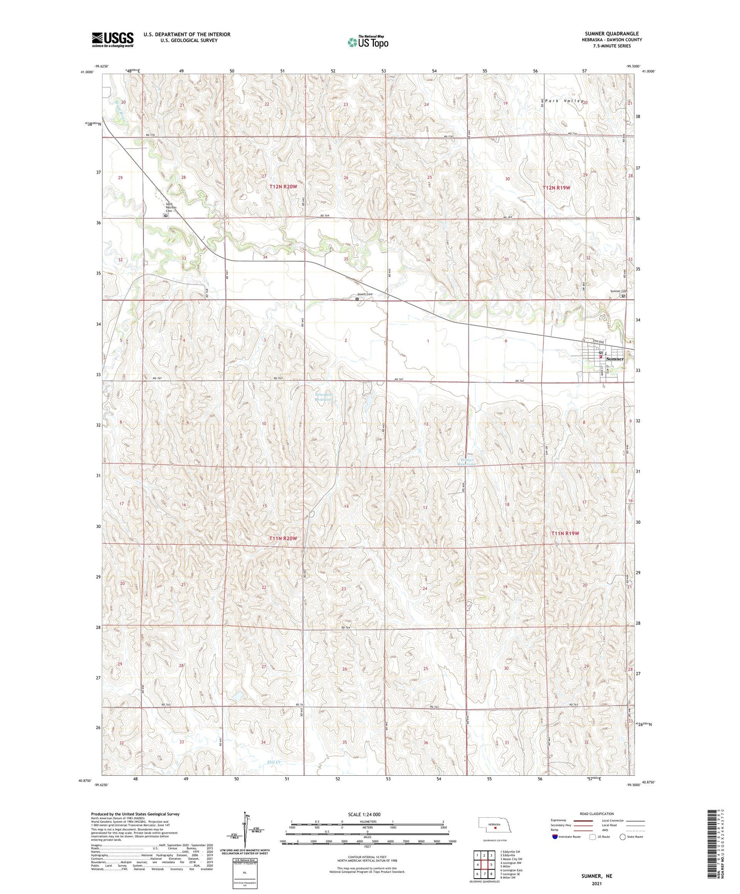
2021 topographic map quadrangle Sumner in the state of Nebraska. Scale: 1:24000. Based on the newly updated USGS 7.5' US Topo map series, this map is in the following counties: Dawson. The map contains contour data, water features, and other items you are used to seeing on USGS maps, but also has updated roads and other features. This is the next generation of topographic maps. Printed on high-quality waterproof paper with UV fade-resistant inks.
Quads adjacent to this one:
West: Lexington NW
Northwest: Eddyville SW
North: Eddyville
Northeast: Mason City SW
East: Miller
Southeast: Miller SW
South: Lexington SE
Southwest: Lexington East
Contains the following named places: Dixon School, Dry Fork Wood River, First Baptist Church, Jewell Cemetery, Newquist Dam, Newquist Reservoir, Park Valley, Saint Patricks Cemetery, Sumner, Sumner Cemetery, Sumner Post Office, Sumner Rescue Service, Sumner Volunteer Fire Department, Sumner-Eddyville-Miller Schools, Township of Lincoln, Village of Sumner, Winter Dam, Winter Reservoir, Wood River Election Precinct, ZIP Code: 68878