MyTopo
Lexington SE Nebraska US Topo Map
Couldn't load pickup availability
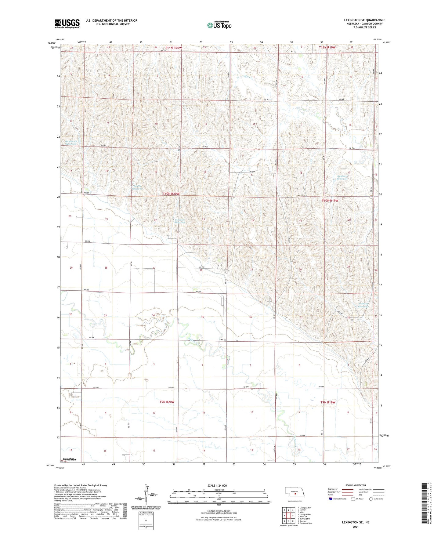
2021 topographic map quadrangle Lexington SE in the state of Nebraska. Scale: 1:24000. Based on the newly updated USGS 7.5' US Topo map series, this map is in the following counties: Dawson. The map contains contour data, water features, and other items you are used to seeing on USGS maps, but also has updated roads and other features. This is the next generation of topographic maps. Printed on high-quality waterproof paper with UV fade-resistant inks.
Quads adjacent to this one:
West: Lexington East
Northwest: Lexington NW
North: Sumner
Northeast: Miller
East: Miller SW
Southeast: Elm Creek West
South: Overton
Southwest: Bertrand NW
This map covers the same area as the classic USGS quad with code o40099g5.
Contains the following named places: Beatty Dam, Beatty Reservoir, Clouatre Dam, Clouatre Reservoir, Dawson County Canal, Fairhaven Church, Freburg Dam, Freburg Reservoir, Hammond Dam, Hammond Reservoir, Hubbard Dam, Hubbard Reservoir, Overton Election Precinct, School Number 21, Township of Logan, ZIP Code: 68863